What is a polar vortex and how does the rare phenomenon occur?
Freezing conditions continue as drivers warned to stay safe on roads

Get the free Morning Headlines email for news from our reporters across the world
Sign up to our free Morning Headlines email
Forecasters have warned a “polar vortex” – the phenomenon that helped to cause the “Beast From the East” winter storm of 2018 – could hit Britain in February.
The high-altitude winds, which spin around the North Pole and keep cold air trapped in the Arctic, are forecast to significantly weaken this week.
Here is everything you need to know about the winter weather system.
What is a polar vortex?
Put simply, the system is a mass of very cold air that sits above the Earth’s North and South Poles.
This dense, cold air is controlled by a large pocket of low pressure, which rotates in an anti-clockwise direction at the North Pole and clockwise at the South Pole.
Why does it move south from the poles?
The strength of a polar vortex varies from year to year. When it is strong, the vortex is concentrated over the Arctic or Antarctic area.
But when it is weak – which is more frequent – it can split into two or more freezing vortices.
These cover a larger area and can move south to Canada, the US and Europe, increasing the risk of air temperatures decreasing to potentially dangerous levels.
When is the last time this happened?
Although we saw a period of bitter cold bring sub-zero temperatures to the British Isles just last month, the last really significant winter cold wave to hit the country was the aforementioned “Beast From the East”, more formally known as Anticyclone Hartmut.
Formed by a disordered polar vortex breaking out of the Arctic into Central Europe, it was formed on 22 February 2018, made landfall in the UK on 2 March and finally dissipated on 5 March.
The “Beast” brought heavy snowfall and ice and bitter winds in from Siberia, causing at least 17 people to lose their lives in Britain alone, with 95 fatalities recorded in total across Europe.
A short-lived repeat, the “Mini Beast”, recurred on 17-18 March that year before the milder spring weather finally brought relief.
How long could the cold spell last?
The recent cold spell is expected to finally abate during the early parts of next week as temperatures overall will be near normal to mild.
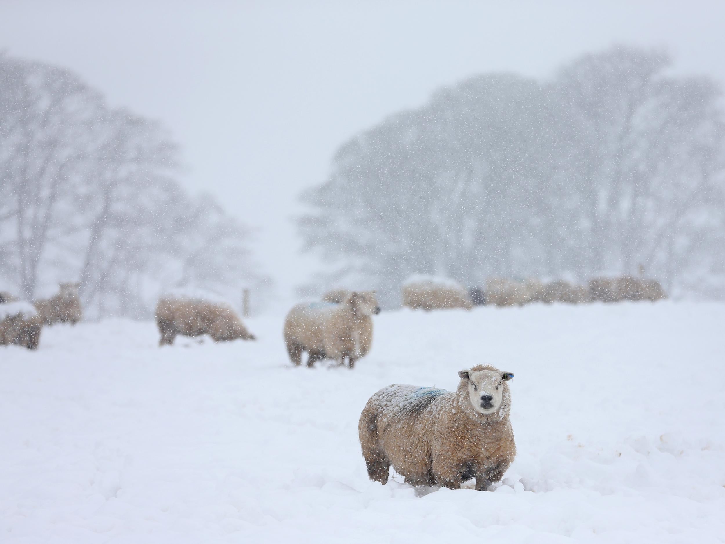
It comes after temperatures plunged below -10C in parts of the UK this week amid snow and icy conditions.
Drumnadrochit near Inverness in the Highlands hit -10.4C in the early hours of Thursday morning, making it the coldest recorded temperature of the year so far.
What are the risks?
With foggy conditions dominating the forecast over the weekend, the AA urged motorists to make alterations to their normal driving habits in order to stay safe on the roads and avert accidents.
Jack Cousens, head of roads policy for the AA, said: “With freezing fog forecast across parts of the UK, drivers heading out on the roads should change how they drive.
“When it’s foggy, it can be harder to tell if other vehicles are moving and many accidents happen because drivers don’t realise that the car in front of them has stopped.
“Reducing their speed and allowing more room for the car in front is necessary, but drivers should also ensure their lights are in working before setting off.
“Drivers owning cars with automatic headlights should be prepared to take control as foggy conditions can trick them and they won’t turn on.”
Subscribe to Independent Premium to bookmark this article
Want to bookmark your favourite articles and stories to read or reference later? Start your Independent Premium subscription today.
Join our commenting forum
Join thought-provoking conversations, follow other Independent readers and see their replies