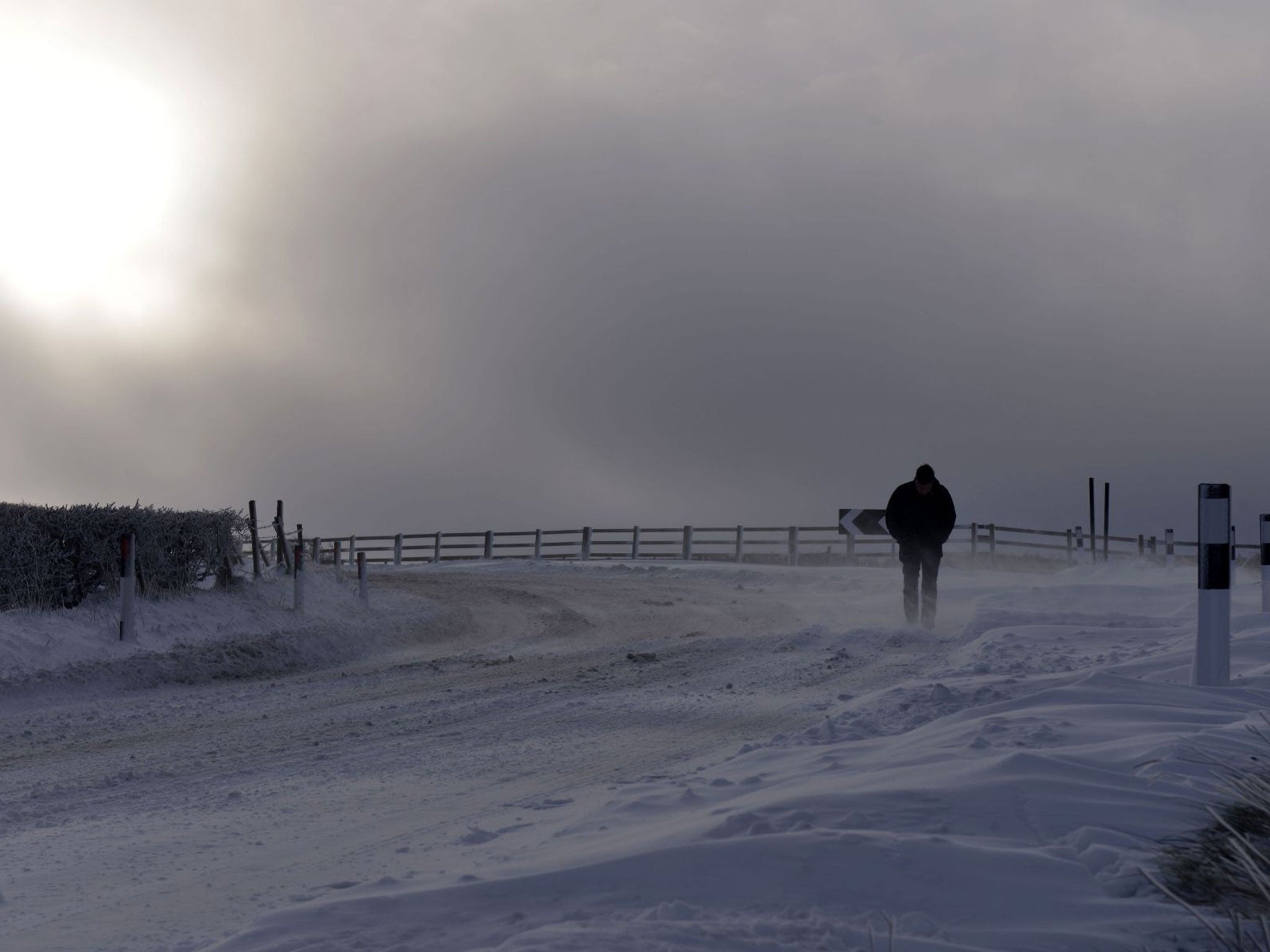
A stranded motorist makes his way over Dundrod on 29 January, in Northern Ireland (Getty)
Get the free Morning Headlines email for news from our reporters across the world
Sign up to our free Morning Headlines email
Forecasters are warning the UK to brace itself for another bitterly cold night as sub-zero temperatures take grip, with an Arctic blast set to sweep the country over the weekend.
Temperatures will fall as low as -2 or -3C in places such as Newcastle overnight, with the mercury struggling to get above freezing in most parts. Over the weekend there will be strong winds bringing an Arctic blast from the north, according to Met Office senior forecaster Tom Tobler.
Saturday night will also be extremely cold with widespread frost and snow showers in Scotland and eastern areas of England.
Mr Tobler warned that people should use roads with caution, as there is a risk of ice in many areas.
"There will be further snow showers affecting mainly northern areas, and a widespread sharp frost on Sunday night, making conditions difficult in the Monday morning rush hour," he said.
Motorists make their way over Hannahstown Hill, near Belfast (Getty) (Getty Images)
A man plays in the snow in Glasgow (EPA/Robert Perry)
Responding to the cold snap, the Met Office issued a yellow "be aware" severe weather warning across the UK on Friday and Saturday, while an ice warning is likely to stay in place to stay over the weekend and into next week.
Strong winds of up to 60mph are predicted in north west Scotland, meaning blizzard conditions are likely, experts said.
MeteoGroup forecaster Chris Hogan said "heavy snow showers" were forecast in higher areas overnight as a band of cold weather moves south across England.
London could also see a "dusting" of snow, although sleet and rain are more likely, he added.
The warnings come as commuters dealt with the effects of “thundersnow” storms over Thursday and Friday, which caused up to 9in (23cm) of snow to lay in some parts.
UK weather in pictures: Snow blankets Britain
Show all 30
Tulloch Bridge in Inverness-shire bore the worst of the cold weather on Friday, as the mercury fell to minus -11C – the day’s coldest reading, according to the MeteoGroup.
Swans in Drumpellier Park, Coatbridge, after heavy snowfall, near Glasgow, Scotland, 29 January 2015. (EPA/ROBERT PERRY)
Overnight 30 vehicles left abandoned in on the Woodhead Pass near Sheffield had to be moved following more heavy snowfall, and in Staffordshire the snow kept more than 100 schools closed today.
In the South West, the weather has caused the cancellation of ferry sailings from Plymouth to Roscoff until Sunday.
On Thursday, commuters across swathes of the UK had to deal with severe travel disruptions, not least at Manchester Airport – the nation’s third busiest – where both of its runways for several hours yesterday.
A total of 36 flights inbound or outbound were cancelled on Friday due to severe weather. A statement on its website on Friday assured customers that services at the airport are back to normal, but advised passengers to check specific airlines for flight delays.
And in Scotland, up to 23cm of snowfall forced 300 schools to close, while roads ground to a halt.
Additional reporting by PA
Join our commenting forum
Join thought-provoking conversations, follow other Independent readers and see their replies

Join our commenting forum
Join thought-provoking conversations, follow other Independent readers and see their replies