Cars struggle through the snow in West Ewell, England. (Peter Macdiarmid/Getty Images)
Get the free Morning Headlines email for news from our reporters across the world
Sign up to our free Morning Headlines email
Britons have been warned to brace for fresh disruption today after Thursday’s heavy snowfall turned into ice, bringing potentially perilous road conditions, as the disruptive snow has already hit the south of England.
Motorists make their way over Hannahstown Hill, near Belfast (Getty Images)
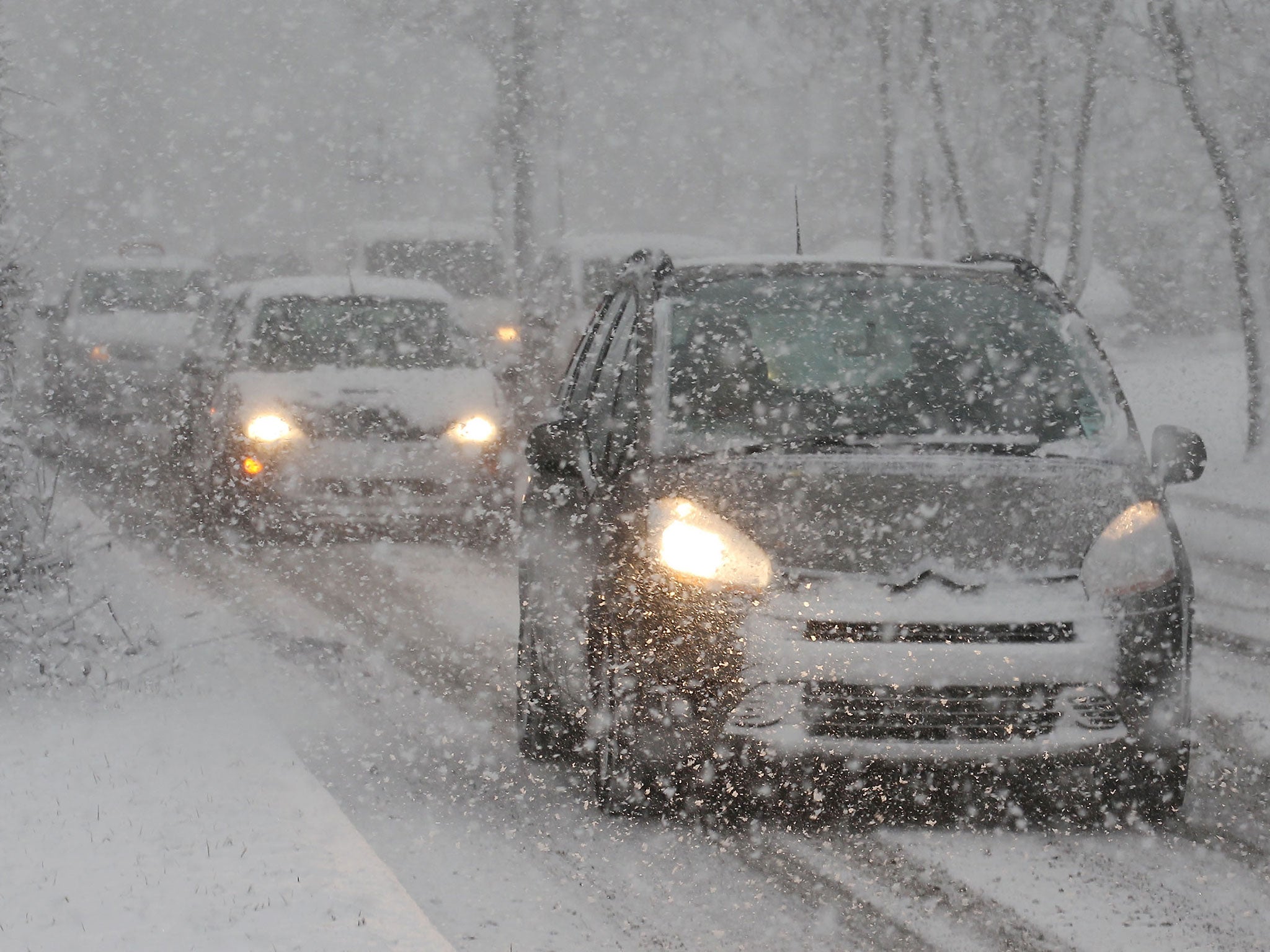
A car in the snow near Worrall, South Yorkshire, as Britons were warned to brace themselves for fresh disruption today (PA)
Snow ploughs have had their work cut out in Northern Ireland (Getty)
Several roads across Yorkshire and Derbyshire have been closed due to the snow and ice today, the BBC reported. Overnight 30 vehicles left abandoned in on the Woodhead Pass near Sheffield had to be moved following more heavy snowfall, and in Staffordshire the snow kept more than 100 schools closed today.
In the South West, the weather has caused the cancellation of ferry sailings from Plymouth to Roscoff until Sunday.
The Met Office has now issued a cold weather warning for London, where snow has already started to fall, though on a far smaller scale than experienced by the north on Thursday, and which is expected to clear up by the end of the day.
Further snow warnings are in place for the northern half of Scotland and parts of Northern Ireland on Saturday, moving to cover the coastal edges of Scotland and of South Wales on Sunday.
But forecasters say that ice poses the major threat today with warnings out for most of the country, before a fierce Arctic blast will sweep the country on Saturday and Sunday, making the cold snap last for around a next week, with below average temperatures expected across the country and cold weather warnings lasting until Thursday.
A horse stands in the snow in Langley
A woman walks over the bridge covered in snow, in Langley
Heavy snow falls on the A690 into Durham
"The main issue for this weekend and the start of next week is going to be the cold and the ice, where people need to be careful on untreated roads," Nicola Maxey, a spokesperson for the Met Office, said.
Maxey said the Artic wind blowing in from the north will feel "bitter", make next week's already below-average temperatures seem colder than they are.
Temperatures will begin to drop this weekend, reaching between 3 and 4 degrees Celsius in the north and between 4 and 5 in the south. Overnight temperatures are not expected to get much above freezing across the country with places such as Newcastle feeling lows of -2 or -3 degrees.
UK weather in pictures: Snow blankets Britain
Show all 30
The Highways Agency yesterday warned of icy roads as temperatures plummet and said its gritters will be out in force.
Holidaymakers were left stranded as Manchester Airport closed both of its runways for several hours, while flights were suspended at East Midlands Airport.
Glum-looking travellers at Manchester Airport were led back off planes carrying hand luggage while airport staff used shovels to clear the snow.
The sun rises behind the Victora Tower on a snow covered Castle Hill in Huddersfield
A general view of steep hills around Bradford and Shipley following heavy snow showers
Tractors clear the snow from the runways at Manchester Airport's Terminal 1
More than a dozen rail services between Manchester and Yorkshire were cancelled and main roads in Durham and Yorkshire were shut.
The disruption was so severe that Prime Minister David Cameron announced on Twitter that he has asked for updates on the weather and measures taken to keep transport systems and energy supplies running.
He said: “I have asked for an update on our heavy snow contingency plans. The gritters are out and people should listen to warnings.”
Northern parts of the UK were worst hit by the snow storms. Tulloch Bridge in Inverness-shire had 23cm of snow, while there was 21cm at Glenanne in Armagh and Spadeadam in Cumbria had 13cm.
Additional reporting by PA
Join our commenting forum
Join thought-provoking conversations, follow other Independent readers and see their replies

Join our commenting forum
Join thought-provoking conversations, follow other Independent readers and see their replies