UK weather: South-east England set to be colder than Iceland as temperature plummets to -6C
Public Health England warns to be prepared as UK faces a second night of freezing weather

Get the free Morning Headlines email for news from our reporters across the world
Sign up to our free Morning Headlines email
A health warning has been issued to urge people to be prepared for icy conditions as parts of South-east England are set to be colder than Iceland.
As temperatures are set to reach lows of -6C overnight, Public Health England has warned people to be prepared as “cold does kill”.
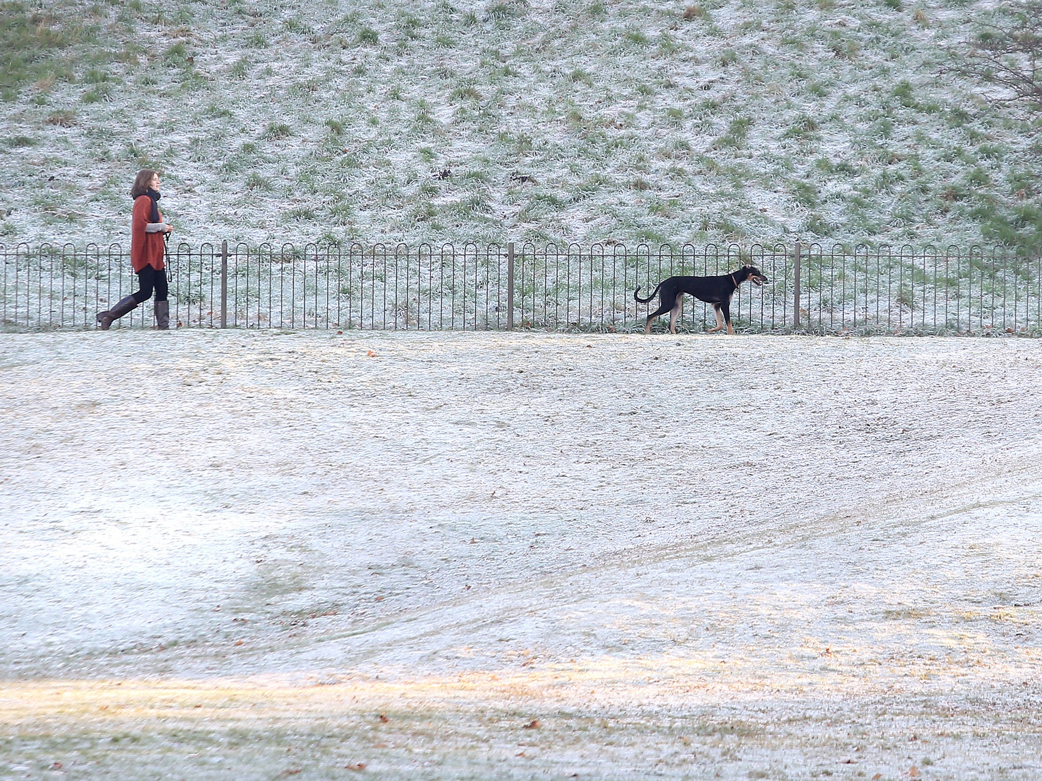
London woke up to a severe frost on Tuesday as the temperature dropped to just 3C over the course of the day – making it colder than the Icelandic capital of Reykjavik.
Dr Angie Bone, from the extreme events team at Public Health England, said: “Cold does kill, even in places where the temperatures are not at their lowest.
“Now is the time to prepare for the cold weather forecast by the Met Office, and to think of those you know who are older, very young, or have pre-existing health conditions who are particularly vulnerable.”
It has advised people to keep the heating on, saying optimal indoor temperatures should remain at around 18C and said that people should look out for family members and friends who may be particularly vulnerable to the cold and should stock up on food and medications in advance.
Andy Page, Chief Operational Meteorologist at the Met Office, said: “High pressure will bring generally dry and settled conditions this week, with clear skies and light winds allowing a widespread frost to occur on Monday and Tuesday night.
“From Wednesday onwards cloudier and slightly less cold conditions will arrive across northern England, therefore overnight frosts will become fewer and less severe in the north but cold weather may persist across the south where skies remain clearer.
In pictures: Winter weather hits the UK
Show all 17“Looking ahead into December and beyond, there are indications that a cold start to winter is more likely than normal, but this doesn’t guarantee snow nor does it mean we won’t see spells of mild and wet weather at times.”
Forecasters have put the icy weather down to a meteorological phenomenon called a “polar vortex” which has come down from the Arctic and will increase the risk of a cold snap “between now and Christmas”.
A polar vortex is a mass of cold air which is controlled by a large pocket of low pressure which rotates in an anti-clockwise direction over the north pole. When the pressure is weak it can split in two with the second pocket of cold air being pushed southwards.
Subscribe to Independent Premium to bookmark this article
Want to bookmark your favourite articles and stories to read or reference later? Start your Independent Premium subscription today.
Join our commenting forum
Join thought-provoking conversations, follow other Independent readers and see their replies