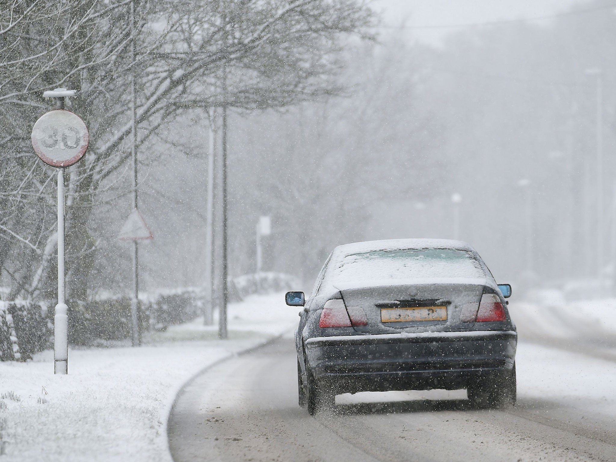
A car makes its way through sleet and snow in Buxton, Derbyshire, on Sunday 22 February (Joe Giddens/PA)
Get the free Morning Headlines email for news from our reporters across the world
Sign up to our free Morning Headlines email
More than 50 flood alerts are in place during the lunar 'super tides’ - as the Met Office warns the UK to prepare up to 20cm of snow and winds of up to 60mph batter the coastline.
The Met Office has issued a yellow warning for snow and ice for most of Northern England, Scotland and parts of Northern Ireland between now and Tuesday, telling Britons to be aware of severe weather and disruption to travel.
They’ve warned of rain, sleet and snow across Northern England, with up to 10cm to fall on high ground in northern parts of Scotland – which could rise to 20cm on Monday and Tuesday.
Coasts and hills can expect winds of up to 50mph, leading to “drifting and blizzard conditions” on high level routes.
Northern England can expect up to 10cm of snow on Tuesday, with winds of up to 60mph expected to batter hills and coastal areas, as many coastal and low-lying areas remain on flood alert, due to some of the highest tides in nearly two decades.
These ‘super tides’ are caused by the gravitational pull of the moon and the sun which are at the peak of an 18-year cycle.
The Environment Agency has warned of flooding to properties on low-lying land across the North West, also expected to be battered by blizzard conditions created by an expanding area of low pressure tomorrow.
They could also fall victim to huge waves – along with communities in the southwest – and the Environment Agency say they are monitoring the situation closely.
UK weather in pictures: Snow blankets Britain
Show all 30
The east coast, parts of the south coast, plus Devon, Cornwall and the Bristol channel also remain ‘at risk’ tomorrow (Monday).
Jonathan Day, flood risk manager, said: “It’s possible we could see some large waves and spray and urge people to take care near coastal paths and promenades and not to drive through flood water.”
Flood warnings are currently in place in 10 areas across the South West, Midlands and North West, with the Environment Agency advising residents to “take immediate action”.
Nearly 50 flood alerts are in place across other areas in the UK and as many more have been lifted over the last 24 hours.
The tides have already taken their toll on some parts of the country, as the Thames burst its banks, submerging cars in Richmond, East London, under several feet of water, the Evening Standard reported.
Join our commenting forum
Join thought-provoking conversations, follow other Independent readers and see their replies

Join our commenting forum
Join thought-provoking conversations, follow other Independent readers and see their replies