
Sign up for the View from Westminster email for expert analysis straight to your inbox
Get our free View from Westminster email
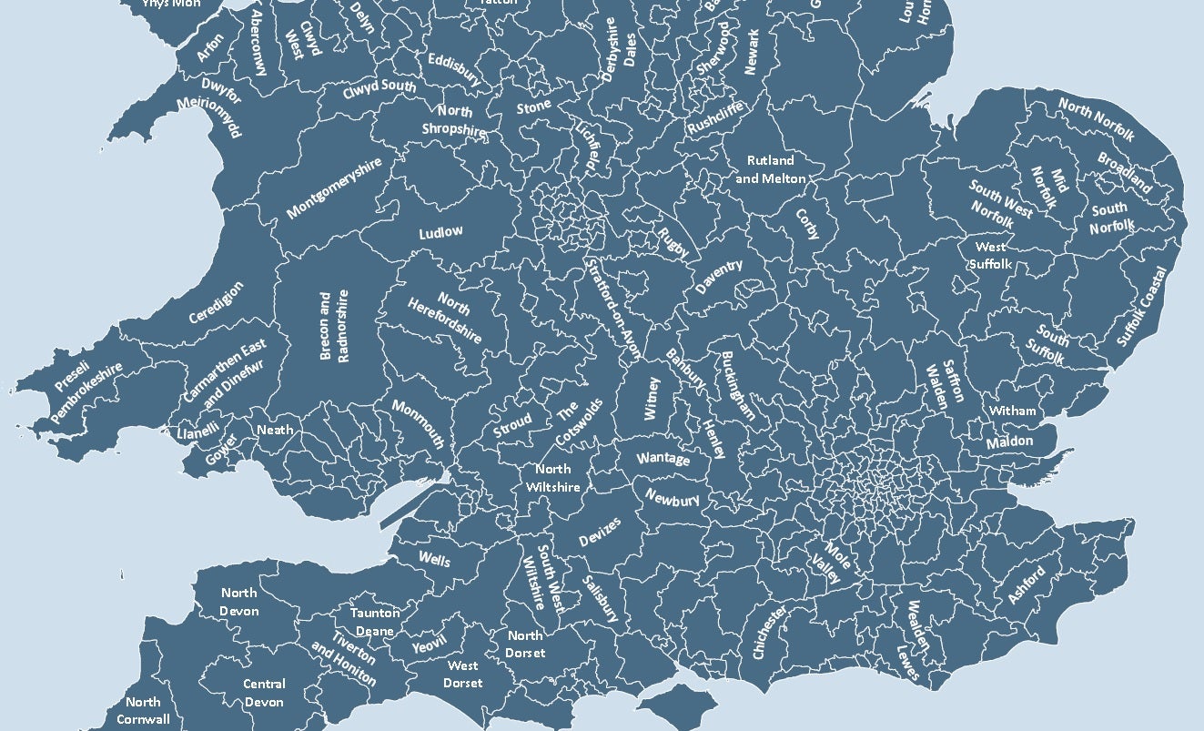
Ever wondered what your parliamentary constituency looked like?
High quality interactive online maps of the UK's constituency boundaries are surprisingly hard to come by.
This new service designed by the mapping company Esri UK should give some context to how the different constituencies in your area fit together and what they are called.
The map also lists all the local candidates in each area at the upcoming general election.
To find out who your local MP is, how they vote on the issues you care about and who you can replace them with, see our guide HERE.
Subscribe to Independent Premium to bookmark this article
Want to bookmark your favourite articles and stories to read or reference later? Start your Independent Premium subscription today.
Already subscribed? Log in
Join our commenting forum
Join thought-provoking conversations, follow other Independent readers and see their replies