El Nino arrives in the Pacific Ocean and its effects could be 'substantial' – but what does it mean for the UK and the rest of the world?
The feared weather system can cause huge storms, droughts and flooding

For free real time breaking news alerts sent straight to your inbox sign up to our breaking news emails
Sign up to our free breaking news emails
The extreme weather system known as El Nino has begun, scientists say, and is forecast to be a “substantial” and lasting phenomenon with severe implications for either side of the Pacific Ocean.
The Australian Bureau of Meteorology, which monitors weather patterns across the tropical Pacific, upgraded its monitoring status to El Nino level for the first time in five years, and warned it is “likely to persist in the coming months”.
El Nino was expected amid record temperatures around the world last summer, but never fully materialised. Now, its arrival has been confirmed by the Japanese Meteorological Agency and US scientists at the NOAA, who predicted seemingly erroneously that it would be a “weak” event in early March.
David Jones, climate monitoring and prediction chief at the Australian bureau, told reporters on Tuesday that this year’s effect will be “a proper El Nino, not a weak one”.
He said that while there was always an area of doubt with forecasts of intensity, “across the models as a whole we’d suggest this will be quite a substantial El Nino event”.
El Nino is famous around the world for causing a range of extreme weather events from droughts to flooding, blizzards and vast tropical storms.
The Independent’s environment editor Tom Bawden explains what it is – and who should be worried.
What is an El Nino phenomenon?
An El Nino event occurs when the prevailing trade winds that circulate over surface waters in the tropical pacific start to weaken. This allows the warm waters of the western pacific to wash back eastward, dragging precipitation with it, resulting in droughts in some countries and heavy rains in others.
How often do they occur?
Every two to seven years.
How worried should we be?
It depends where you live, but globally speaking the Met Office says an El Nino has the potential to induce “major climatic impacts”.
Where will be hardest hit?
India, Indonesia and Australia are likely to become much drier, increasing the chances of wildfires, lower crop production and rising food prices.
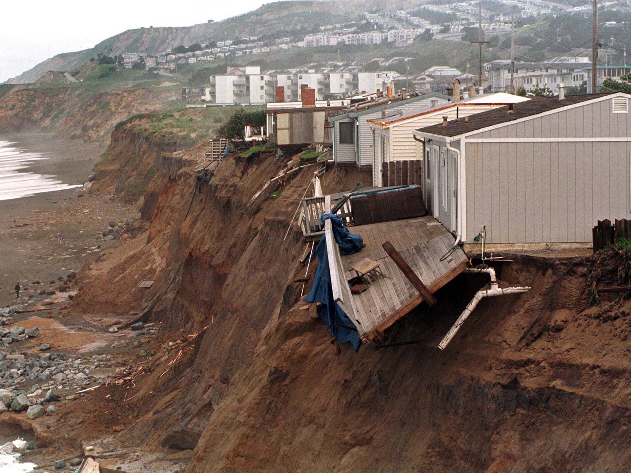
Meanwhile, the phenomenon precipitates heavier rainfall in the South American and eastern Pacific nations, raising the prospect of floods and landslides.
Overall, India is likely to suffer the most because El Nino increases the risk of a poor monsoon season by two to three times – potentially depriving the country of rains that are crucial to its crops and livelihoods.
Will the UK be affected?
Quite possibly, although as usual with the weather, it’s difficult to say for sure. The Met Office says El Nino increases the prospect of snow in the UK and contributed to the massive flurries seen last time the phenomenon visited in 2009/10. However, as only one of the factors influencing the weather, snow cannot be assured.
When was the worst El Nino?
The El Nino of 1997-8 caused deadly mudslides in South America, a crippling drought in South East Asia and extreme weather almost everywhere else. By contrast, the Met Office said last summer it expects this one to be similar to the last one in 2009/10.
Why El Nino?
The name is thought to have been coined in the 19th Century after Peruvian fishermen observed it around Christmas. The word is Spanish for boy, in reference to the infant Jesus Christ.
Any relation to La Nina?
Yes, they’re diametrically opposed brother and sister. La Nina, the word for girl, was devised later to label the reverse phenomenon, which is characterised by unusually cool ocean surface temperatures in the central and eastern tropical Pacific – the last of which ended in April 2012.
Subscribe to Independent Premium to bookmark this article
Want to bookmark your favourite articles and stories to read or reference later? Start your Independent Premium subscription today.
Join our commenting forum
Join thought-provoking conversations, follow other Independent readers and see their replies