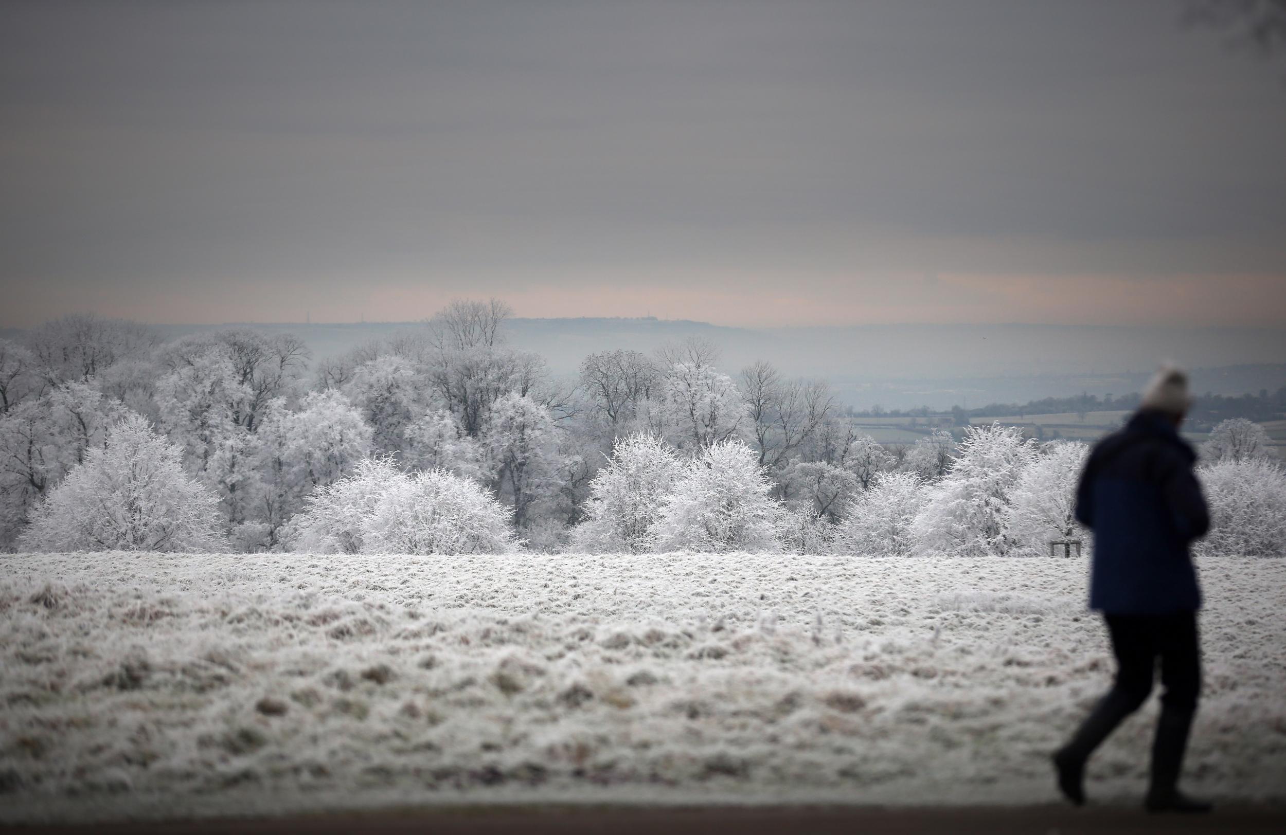
UK weather: Blast of freezing Arctic air to hit Britain causing temperature plummet
Met Office says weeks of mild weather will give way to snow and widespread frosts

Get the free Morning Headlines email for news from our reporters across the world
Sign up to our free Morning Headlines email
A blast of freezing Arctic air will hit Britain over the weekend, sending temperatures plummeting well below what we would usually expect in early January.
The Met Office said weeks of recent mild weather will give way to strong northerly winds over the coming days bringing snow and widespread frosts to areas still recovering from devastating floods.
With severe weather warnings still in place in the Grampian and Central, Tayside and Fife regions, the heavy rain that is already hitting southern England will move northwards and linger over areas where the ground is already saturated.
Speaking to The Independent, Met Office forecaster Emma Boorman said: “By the latter stage of the weekend and the beginning of next week we’ll see the wind direction change to more of a northerly and that’s going to be pulling in significantly colder air.”
“We’ll be looking at widespread frosts overnight and the chance of some snow too. Particularly over higher ground in parts of northern Britain,” she added.
“The air will be coming down from the Arctic… that’s what brings the colder weather during the winter months,” Ms Boorman went on to say.
There will be more rainfall for flood-hit areas in northern England and southern Scotland as a band of rain currently sweeping through southern Britain and the Midlands slows down and intensifies as it reaches the northern border.
UK weather warnings
Show all 8“We have one amber warning for parts of north eastern Scotland. That’s associated with a band of rain that’s moving to the north east today and in fact is already doing so. If you’re in London it’ll be raining at the moment so it’s that rain moving up towards the north east,” Ms Boorman said.
“That rain is going to linger in parts of northern Scotland, which is why we have an amber weather warning out, so there’s potential there that any further rainfall could exacerbate the [flooding] situation there,” she added.
If the Arctic temperatures and heavy rain aren’t enough, there is also the possibility of severe gales rocking parts of northern Britain.
“Today it’s going to be windy everywhere and over parts of northern areas they could be gale-force for a time – perhaps even severe gales,” Ms Boorman said.
Subscribe to Independent Premium to bookmark this article
Want to bookmark your favourite articles and stories to read or reference later? Start your Independent Premium subscription today.
Join our commenting forum
Join thought-provoking conversations, follow other Independent readers and see their replies