Earliest white winter for two decades could go on for 10 days

Get the free Morning Headlines email for news from our reporters across the world
Sign up to our free Morning Headlines email
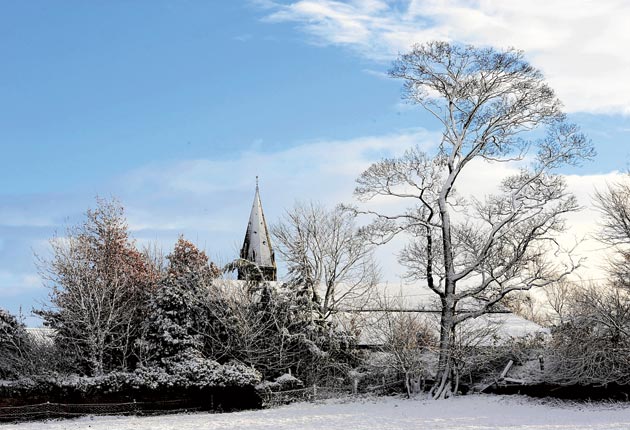
With snow drifts, black ice and biting winds, Britain woke up to the earliest white winter in almost two decades yesterday, with forecasters predicting that the cold snap could last ten days.
The north and east took the initial brunt of the wintry blast with parts of Northumberland seeing 6in of snow, while night-time temperatures fell to as low as -9C. The Highlands experienced 12in of snow insome areas, with the thermometer falling to -7.8C in the Scottish Borders.
Overnight the icy conditions were predicted to sweep south and west, with snow spreading across Britain and the situation set to deteriorate over the next few days.
"The snow we're seeing at the moment and expecting to see, is the heaviest widespread snow since November 1993, when the Highlands got around 12in (30cm) and north Yorkshire got 10.5in (27cm)," said Met Office forecaster John Hammond. "Winds are continuing to blow in from a north-easterly direction over the course of the rest of this week and into next week. Even where we haven't had any snow, temperatures are going down to -5C or -6C in several places."
As the RSPCA issued a list of tips for keeping pets and local wildlife warm, driving associations issued their annual advice to be wary of treacherous road conditions. Disaster was averted on Thursday night when a Boeing 737-800 with 196 passengers aboard overshotwhile landing at Newcastle airport because of the icy conditions. No one was injured, but the airport was closed temporarily.
Schools in Scotland, Northumberland and Durham were also forced to shut because of the snowfall.
The Met Office issued severe weather warnings last night, predicting widespread icy roads and heavy snow across the north-east, Yorkshire and Humber, East Midlands, the east and south-west England as well as parts of Scotland, Northern Ireland and Wales. The Midlands and London were expecting a dusting of snow overnight.
The unusual weather is being caused by a high pressure over Greenland and low pressure in the Baltics, forcing cold winds from the north-east across Europe. Daytime temperatures are expected to hover between 1C and 3C, falling as low as -4C at night for the next ten days.
Aisling Creevey, of MeteoGroup, said: "It's definitely staying cold and going into next week, we could see a lot more snow. There is a low pressure system across the country and if it moves the way it is looking to at the moment, it's going to be very windy, very snowy and really bitter."
Meanwhile William Hill cut the price of this winter being the coldest on record from 16/1 to 10/1 and the chance of a white Christmas in England and Wales to 6/1. "We have been betting on a white Christmas for almost 30 years and have never seen so much early interest in the market. There is a real chance that we are in for the coldest winter on record," said Hill's spokesman, Rupert Adams.
The RSPCA urged pet owners to look after their domestic animals by keeping their dogs away from ponds,making sure that cats stayed indoors and leaving food out for badgers, squirrels and birds.
Subscribe to Independent Premium to bookmark this article
Want to bookmark your favourite articles and stories to read or reference later? Start your Independent Premium subscription today.
Join our commenting forum
Join thought-provoking conversations, follow other Independent readers and see their replies