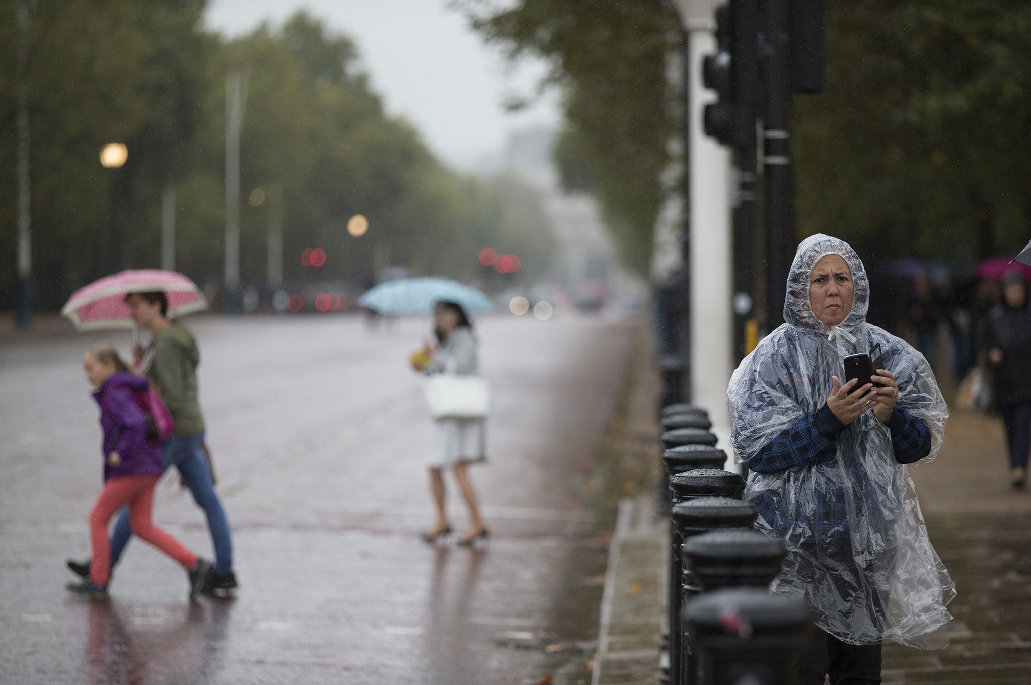
Sightseers admire the area surrounding Buckingham Palace during poor weather in London, England (Oli Scarff/Getty Images)
Get the free Morning Headlines email for news from our reporters across the world
Sign up to our free Morning Headlines email
The driest September in over 50 years came to an abrupt end this weekend, as thundery storms saw parts of Britain waking up to flash flooding this morning.
Lashings of rain flooded some tube stations in London and left major roads blocked in the south of England. Meanwhile, lightning strikes caused disruption to rail services in the West Country and also in Kent.
Overnight, the worst of the showers hit the London and Essex areas. The London Fire Brigade sent crews to rescue a family from a flooded basement flat in Bethnal Green on Friday afternoon, the Evening Standard reported.
The Environment Agency has one flood alert in place for the Anglian region.
On Friday, First Great Western services were affected by storms in the Bath Spa area. Lightning damaged equipment between Melksham and Chippenham in Wiltshire, with the lines between Swindon and Bath Spa/Westbury closed.
Weather in Britain: Stunning images show off beauty of British landscape
Show all 30
A Met Office weather warning will remain in place until 9pm tonight covering areas from Essex right down to the South West of England.
A spokesperson for the Met Office said: “There is an on-going risk of isolated heavy thundery showers throughout today across southern England. We have a motoring warning out to cover heavy showers up to 30 millimetres which could lead to localised flash flooding.
“That clears away through tonight and tomorrow looks better – fresher but much drier and with some sunshine."
Join our commenting forum
Join thought-provoking conversations, follow other Independent readers and see their replies

Join our commenting forum
Join thought-provoking conversations, follow other Independent readers and see their replies