UK weather: Risk of floods on Friday and Saturday as Met Office issues rainfall warning
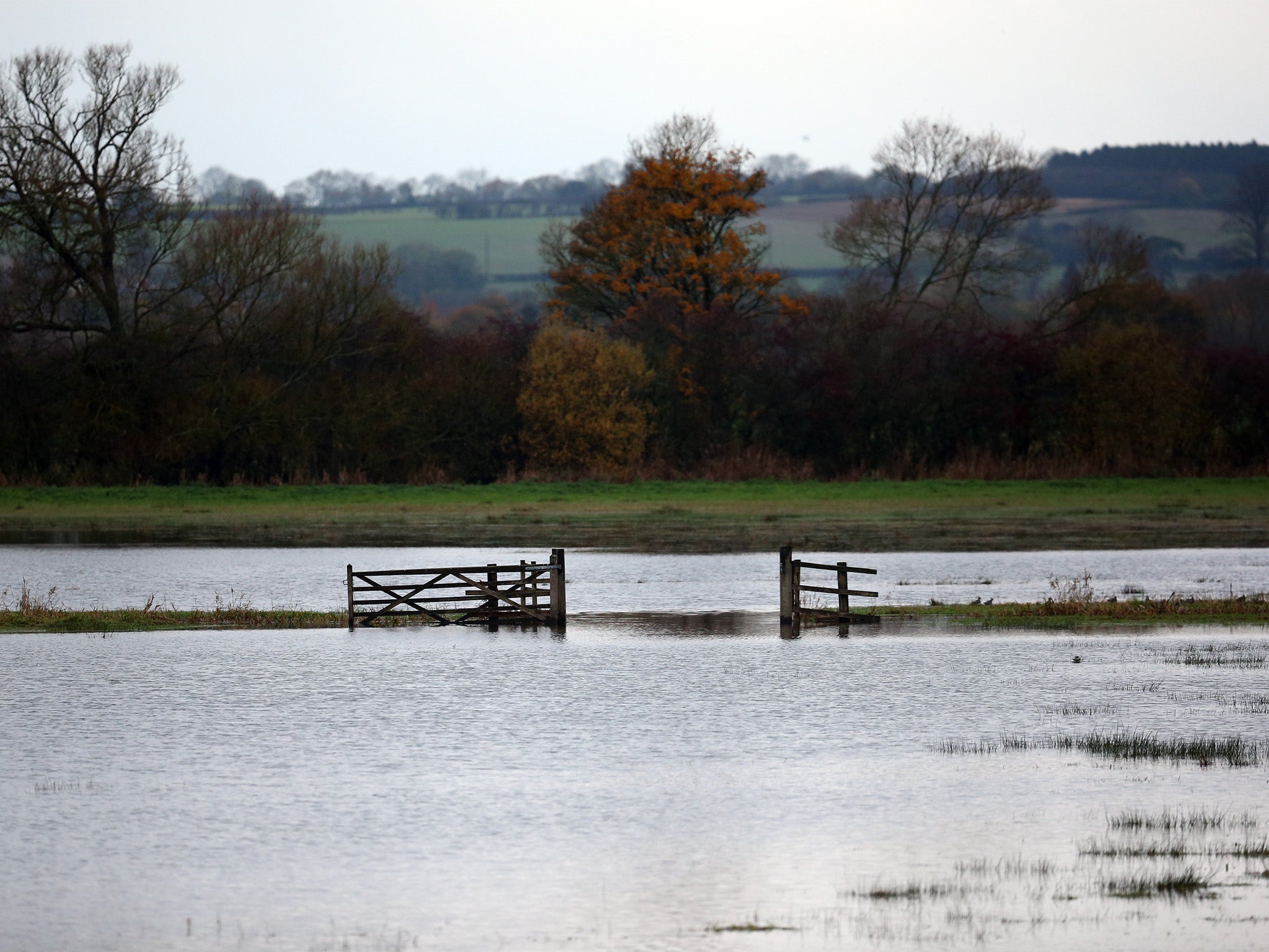
The Environment Agency has forecasted a risk of floods across parts of England and Wales for Friday and Saturday, in anticipation of heavy rain

For free real time breaking news alerts sent straight to your inbox sign up to our breaking news emails
Sign up to our free breaking news emails
The UK could be hit by flooding this weekend as temperatures dip from the sweltering heights of this week's heatwave.
The Environment Agency has said that torrential thundery downpours could bring a risk of flooding on Friday night and Saturday morning.
The agency says a 'low risk' of floods across parts of England and Wales for Friday and Saturday, in anticipation of heavy rain following the recent dry spell.
An Environment Agency spokesperson said: "Isolated torrential thundery downpours will spread north across England during Friday evening and overnight into Saturday morning bringing a risk of localised surface water flooding.
"We will monitor the situation closely and issue flood alerts and warnings if required, but we do not expect any significant impact on river levels.
"Our teams out on the ground working hard with partner organisations to reduce the risk of flooding. We will support local authorities, who will respond to any reports of surface water flooding"
The Met Office currently has a 'yellow' warning for rainfall tonight, but emphasised the impact of the heavy rain will be limited as it occurs in the early hours of the morning.
In pictures: Boscastle flood of 2004
Show all 16A Met Office spokesperson said: "If you have a large amount of water falling in a very short amount of time, any time of the year that can cause issues.
"However, when you’ve had a period of very dry weather, which is what we’ve had effectively, despite the odd thundery downpour, the rain falls on hard ground and doesn’t drain off in the same way and tends to sit there for a while.
"Because it’s happening in the early hours of the morning in England, however, the impacts of the rainfall are likely to be reduced, because people aren’t generally out at 3am."
Forecast for today:
It will be sunny for a large proportion of the UK, fairly settled and warm, with a Southeasterly flow of air from the continent, warm but not as hot as earlier in the week.
Temperature highs of 28 or 29 degrees celsius are expected in the South, up to possibly 30 degrees in London.
Central and Northern areas can expect temperatures in the mid twenties, Scotland will experience temperatures in the low twenties.
Tonight:
Areas of thundery downpours will start to encroach across the southwest overnight, moving up through the country towards the northeast.
By midnight it’ll become quite heavy with possibly 30mm of rainfall in an hour or 40-60mm in a three hour period. Very heavy rain is expected overnight and should clear England by 9am tomorrow.
Tomorrow:
In Scotland, the overnight rain isn’t expected to clear until late afternoon. Most of the UK will experience a fair amount of sunshine, with cloud in the morning which burns off as the day goes on. The strongest sun should be experienced in the South East.
London can expect temperatures up to 28 degrees, the Midlands and Wales can expect mid-twenties temperatures and some parts of Scotland may only see up to 18 or 19 degrees, marginally higher in built up areas such as Edinburgh or Glasgow.
Sunday:
A good dry start is expected but showers should arrive by lunchtime, heaviest across the North of England, Scotland and Northern Ireland. There is the potential for light showers in central areas of England and Wales. The East and South East of England are likely to see a dry day around the low to mid twenties celsius, slightly lower elsewhere.
Monday:
A dry start, particularly in the South East, but by lunchtime an area of low pressure may bring with it strong gusts of wind, and heavy rainfall moving from West to East.
Most places can expect to see some form of shower, particularly in the afternoon, heaviest in the West of England, Scotland and Northern England. Temperatures similar to Sunday are expected.
Tuesday:
A showery day, mostly light, is expected, but could change with the course of the low pressure system. There should be not too much of a dip in temperature from previous days, around average for the time of year.
Subscribe to Independent Premium to bookmark this article
Want to bookmark your favourite articles and stories to read or reference later? Start your Independent Premium subscription today.
Join our commenting forum
Join thought-provoking conversations, follow other Independent readers and see their replies