Science behind the big freeze: is climate change bringing the Arctic to Europe?
A loss of sea ice could be a cause of the bitter winds that have swept across the UK in the past week, weather experts say
The bitterly cold weather sweeping Britain and the rest of Europe has been linked by scientists with the ice-free seas of the Arctic, where global warming is exerting its greatest influence.
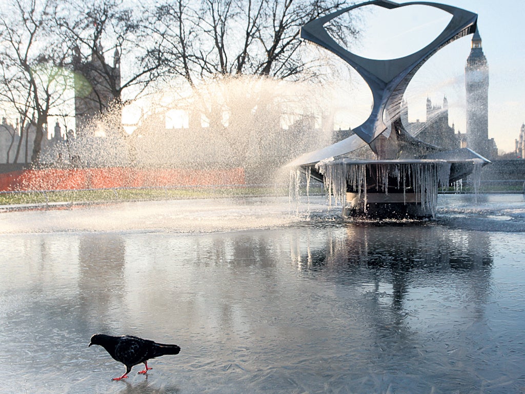
A dramatic loss of sea ice covering the Barents and Kara Seas above northern Russia could explain why a chill Arctic wind has engulfed much of Europe and killed 221 people over the past week.
The death toll from Arctic blast has been particularly severe in the Ukraine, where many of the dead have been people sleeping on the streets. Heating and food tents have been set up to ease their hardship. In Romania 24 people are known to have died and 17 in Poland.
A growing number of experts believe complex wind patterns are being changed because melting Arctic sea ice has exposed huge swaths of normally frozen ocean to the atmosphere above.
In particular, the loss of Arctic sea ice could be influencing the development of high-pressure weather systems over northern Russia, which bring very cold winds from the Arctic and Siberia to Western Europe and the British Isles, the scientists believe. An intense anticyclone over north-west Russia is behind the bitterly cold easterly winds that have swept across Europe and some climate scientists say the lack of Arctic sea ice brought about by global warming is responsible.
"The current weather pattern fits earlier predictions of computer models for how the atmosphere responds to the loss of sea ice due to global warming," said Professor Stefan Rahmstorf of the Potsdam Institute for Climate Impact Research. "The ice-free areas of the ocean act like a heater as the water is warmer than the Arctic air above it. This favours the formation of a high-pressure system near the Barents Sea, which steers cold air into Europe."
Sea ice covering the Barents and Kara Seas has been exceptionally low this winter, according to the US National Snow and Ice Data Centre in Boulder, Colorado. But air temperatures above the Barents and Kara Seas have been higher than average. The relatively mild westerly winds that have kept Britain from freezing much of this winter have been blocked by fierce high pressure over north-west Russia, centred on an area just south of the Barents Sea.
Studies by scientists at the Alfred Wegener Institute for Polar and Marine Research have confirmed a link between the loss of Arctic sea ice and the development of high-pressure zones in the polar region, which influence wind patterns at lower latitudes further south. Scientists found that as the cap of sea ice is removed from the ocean, huge amounts of heat are released from the sea into the colder air above, causing the air to rise. Rising air destabilises the atmosphere and alters the difference in air pressure between the Arctic and more southerly regions, changing wind patterns.
Professor Rahmstorf said the Alfred Wegener study confirms earlier predictions from computer models by Vladimir Petoukhov of the Potsdam Institute, who forecast colder winters in western Europe as a result of melting sea ice.
Dr Petoukhov and his colleague Vladimir Semenov were among the first scientists to suggest a link between the loss of sea ice and colder winters in Europe. Their 2009 study simulated the effects of disappearing sea ice and found that for some years to come the loss will increase the chances of colder winters.
"Whoever thinks that the shrinking of some far-away sea ice won't bother him could be wrong. There are complex interconnections in the climate system, and in the Barents-Kara Sea we might have discovered a powerful feedback mechanism," Dr Petoukhov said.
But UK climate researcher Adam Scaife said other complexities are almost certainly influencing the current cold spell. "There is a pretty clear link between the current event and the upper level winds... The winds up at 30km (18.6 miles) altitude are very weak," he said. "We have verified several times using computer model experiments that this leads to high pressure across northern Europe and cold winter conditions in the UK as we see now."
Big chill: UK outlook
Today
Freezing overnight temperatures – expected to rival the -11.3C at Spennybridge in Powys yesterday – will ease but be followed in western parts by afternoon snow. This will be replaced by rain in the evening, but as temperatures plunge it will turn to ice, making driving treacherous. Snow will sweep across the country reaching the east by tonight.
Tomorrow
Eastern regions will wake up to snow, with the Met Office expecting up to four inches in some areas. Temperatures across the country are unlikely to get above 1C or 2C.
Next week
Slightly warmer but still likely to be below the average maximum of 6C and average minimum of 1C for the time of year.
Lewis Smith
Join our commenting forum
Join thought-provoking conversations, follow other Independent readers and see their replies
Comments