Freezing polar vortex is about to hit the US after last deadly cold winter in 2014
Temperatures are expected to hit single digits across the Northeast and Midwest
The polar vortex could be back as soon as next week after a three-year hiatus, ready to bring record-low temperatures to much of North America, according to forecasters.
As shown by weather maps and forecast models, there are similarities between the last polar vortex in 2014 and with weather patterns expected next week.
"Upper-level atmosphere configuration very similar in scale & magnitude as infamous Jan 2014 #PolarVortex popularized by me and @afreedma," meteorologist Ryan Maue said on Twitter.
In 2014, the Midwest saw its coldest weather in two decades, which lasted until March. Roads were iced over, thousands of flights were canceled or delayed. Wind chills as low as minus 51 degrees celsius (60 degrees below Fahrenheit) killed at least nine people. Farmers struggled to keep their cattle alive, while others worried about their crops. In Newfoundland, Canada, a power outage hit 90,000 homes in January 2014.
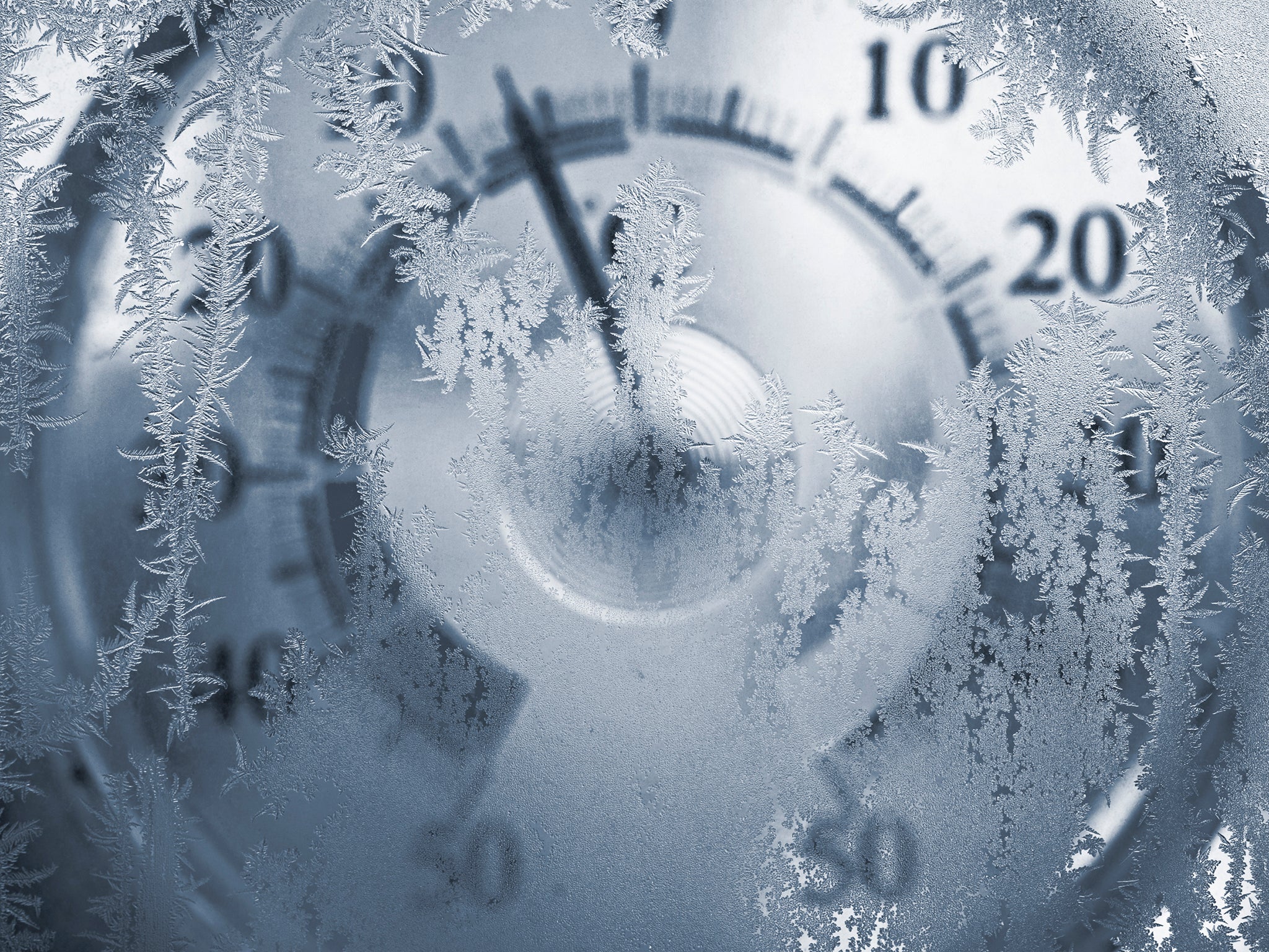
Extremely cold weather is expected again in the Midwest and Northeast on Tuesday. Temperatures are anticipated to drop by between five and 20 degrees, compared to this week.
While Chicago is bracing for temperatures in the teens, other cities will be hit by single digits.
"The air mass on the way for the middle of December is likely to be substantially colder when compared to that of this past week and this weekend," AccuWeather meteorologist Paul Pastelok said.
As for weather beyond next week, cold weather could last into the spring. According to an October study, published in the journal Nature, the polar vortex in February has moved towards Europe and Asia over the last three decades, meaning very cold days in the US are more common in February and March. The study found the change was likely related to the loss of Arctic sea-ice loss, but could also be due to increased snow cover in the Eurasian continent.
During the last vortex, every state in the US saw temperatures dip below 32 degrees fahrenheit in the beginning of January 2014, even in Hawaii.
Vortexes are fairly common, happening three times in the 1980s.
Defined by the National Weather Service, a polar vortex is a large area of low pressure and cold air surrounding both of the Earth’s poles. It always exists, but weakens in the summer and gets stronger in the winter.
The "vortex" part refers to the counter-clockwise flow of air that keeps the colder air near the Pole.
"When the polar vortex is strongest, you're less likely to see cold air plunge deep into North America or Europe. Occasionally, though, the polar vortex is disrupted and weakens. This happens when the stratosphere warms," according to weather.com.
"When the polar vortex is weakened, a piece of the polar vortex can surge farther south, helping to push Arctic cold into portions of North America and Europe."
Join our commenting forum
Join thought-provoking conversations, follow other Independent readers and see their replies
Comments
Bookmark popover
Removed from bookmarks