UK weather: Frequent lightning and downpours to hit UK following hottest day of the year
Thunderstorms are expected in the east and southeast of England, says the Met Office

Get the free Morning Headlines email for news from our reporters across the world
Sign up to our free Morning Headlines email
Frequent lightning and torrential downpours could hit some parts of the UK on Thursday following the hottest day of the year so far, forecasters say.
Thousands of people flocked to parks on Wednesday to make the most of the sunshine following almost two months of lockdown.
The mercury rose to 27.8C near London, up from the previous 2020 high set the day before when temperatures rose to 26.2C.
Earlier this month the government eased social distancing measures to allow Britons to see one person from another household and take unlimited amounts of exercise.
A domestic travel ban was also lifted, meaning that people can now drive to beaches and natural beauty spots – provided they return home on the same day.
Images from around the UK showed that thousands of Britons took to the country’s beaches on Wednesday, with some of England’s most popular coastal areas packed with sun-seekers.
Police in the southwest of England said they were overrun by travellers, with one force in Barnstaple adding that traffic wardens were at risk of running out of tickets as people abandoned their cars and headed for North Devon coast.
It was a similar picture in Southend and Brighton where sunbathers soaked up the rays.
But some living in coastal communities and beauty spots have questioned whether it is safe for people to be travelling and raised concerns about social distancing on busy beaches.
Residents living near the Lake District set up roadblocks and fake signs to discourage day-trippers from visiting during lockdown.
While temperatures will remain relatively warm in the coming days, some regions will experience unsettled periods of weather on Thursday.
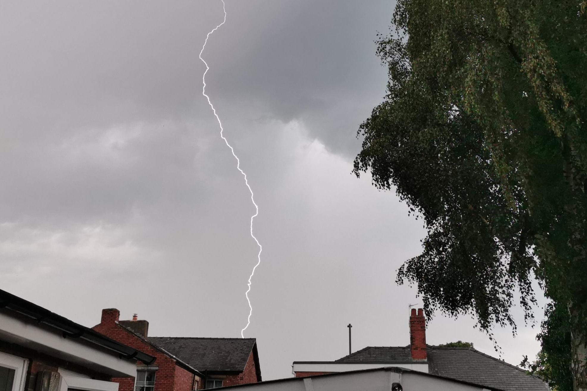
According to the Met Office, the south east of England could see thunderstorms and heavy downpours.
Paul Gundersen, Met Office chief meteorologist, said: “Thursday will be another warm day with hazy sunshine although there is the potential for thunderstorms to develop across England, Wales and southeast Scotland.
“It is across east and southeast England where these are most likely, with frequent lightning, hail and torrential downpours of up to 40mm in a few hours all possible.”
Following Thursday’s thunderstorms it will turn cooler and more unsettled for everyone, as an Atlantic low pressure moves close to the UK.
On Friday, a deep area of low pressure will track to the northwest of the UK, the Met says. It will bring a spell of strong winds and a risk of gales to parts of Northern Ireland, northern England and much of Scotland.
Going into the weekend, the weather will turn showery and temperatures are likely to be much cooler than earlier in the week, returning to around average for this time of year.
Subscribe to Independent Premium to bookmark this article
Want to bookmark your favourite articles and stories to read or reference later? Start your Independent Premium subscription today.
Join our commenting forum
Join thought-provoking conversations, follow other Independent readers and see their replies