Google Earth Pro: high-end, $400 per year mapping tool goes free
Software lets you make videos of your virtual flights around the world, and to do precise measurements of buildings

Sign up to our free weekly IndyTech newsletter delivered straight to your inbox
Sign up to our free IndyTech newsletter
Google has made its professional version of Earth, the mapping tool, free to anyone.
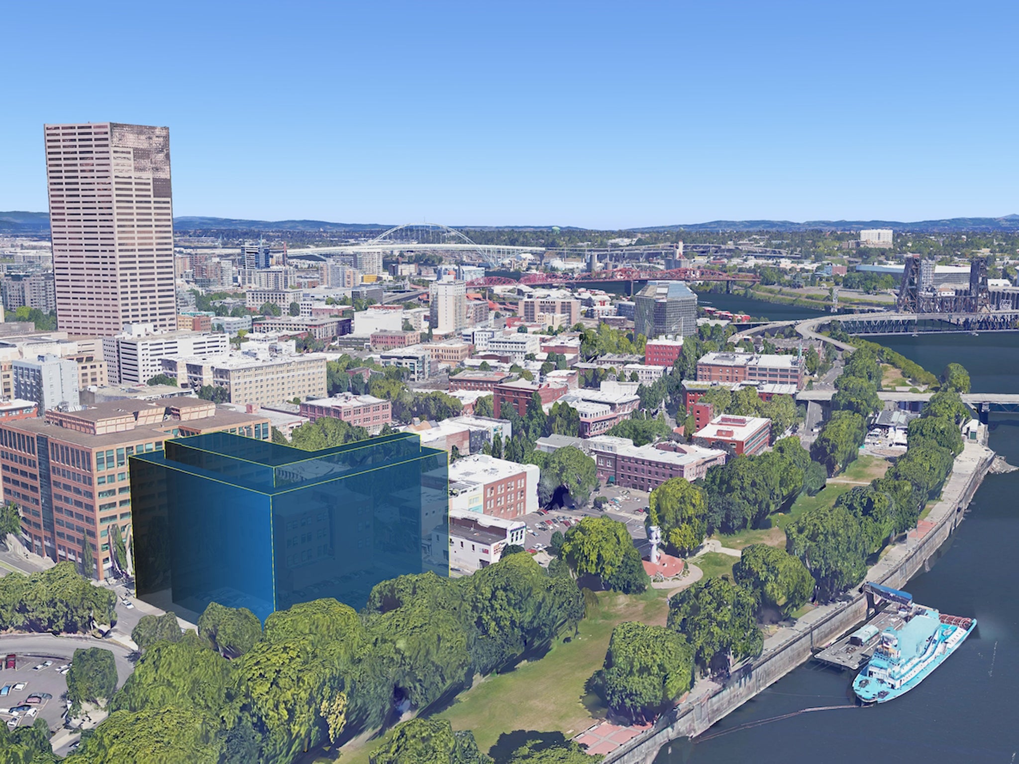
The tool previously cost $400 a year (about £265), which gave access to advanced tools like measuring 3D buildings or being able to print off high-resolution pictures. It also allowed users to record HD films of their journeys through Google Earth, making virtual versions of aerial footage.
It has now been made available for free to everyone. To download the tool, users can claim a free product key and then download the app.
Existing users will continue to be able to use the tool, Google said. It didn’t say whether they will be refunded for their remaining subscription.
The tool was previously used by architects and other designers to create models of new buildings. It also allowed filmmakers and others to quickly and easily create flyover shots for films.
The company didn’t say why it had opted to make the upgrade free. Other competitors such as Apple offers similar services in its Maps app, but doesn’t have the precise measuring or filming tools of Google Earth Pro.
The professional version of the software was just one of the ways that Google makes money from its huge mass of geographical data, which also powers Google Maps. Users still have to pay to use that data in their own programs.
Subscribe to Independent Premium to bookmark this article
Want to bookmark your favourite articles and stories to read or reference later? Start your Independent Premium subscription today.
Join our commenting forum
Join thought-provoking conversations, follow other Independent readers and see their replies