Newly released bird’s eye photos reveal how England has changed over 100 years
Thousands of images from 1919 to the present day are available for the public to view

Get the free Morning Headlines email for news from our reporters across the world
Sign up to our free Morning Headlines email
Hundreds of thousands of aerial photos showing the development of towns and cities across England over the past century have been made available to the public for the first time.
The Aerial Photography Explorer launched by Historic England will allow users to search and explore more than 400,000 images of England from 1919 to the present day.
From ancient archaeology to wartime sites, the online tool shows the changing landscape across the country’s urban centres and rural areas.
Images include the remains of a Neolithic long barrow near Broughton, Hampshire, as well as remains of Iron Age forts such as Pilsdon Pen in Dorset and medieval villages such as Old Sulby in Northamptonshire.
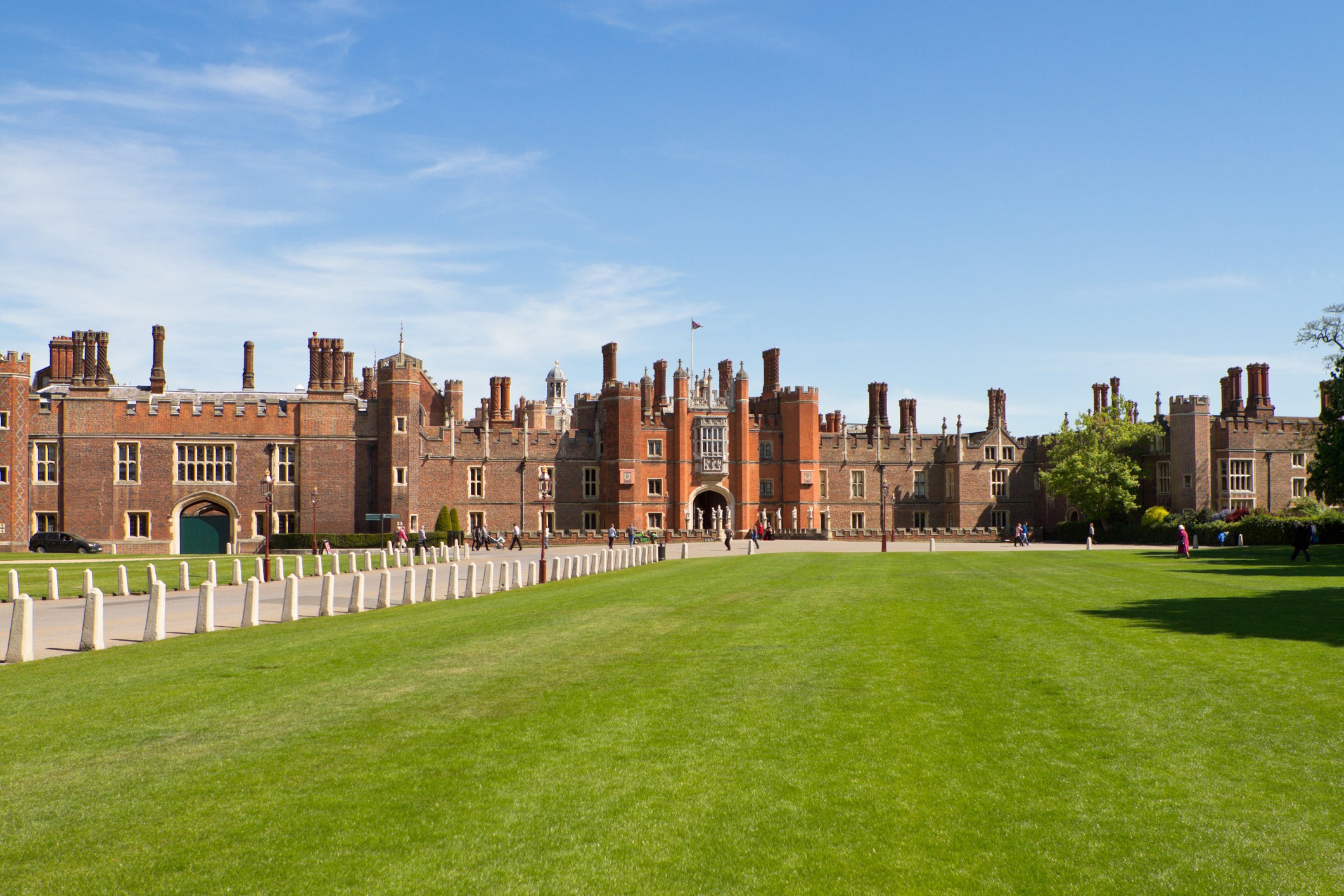
Photos of World War Two anti-invasion measures at Hampton Court Palace can also be found online, as well as images of camouflaged runways at RAF Kenley in 1941.
Further wartime adaptations to sites can also be seen, such as images of Greenwich Park in 1946 showing the area covered in a patchwork of allotments that were used to grow food and aided the war effort. A modern photo from August 2006 shows the outlines of the allotments appearing through the grass in hot weather.
Bomb damage can be seen in images of central Liverpool and the Albert Dock from 1941, 1946 and 1948 with flattened areas and buildings with roofs blown off.
Other notable photos include 20th-century industrial sites such as the construction of Tilbury power station in 1955 and its demolition in 2017, as well as famous buildings such as views of St James’ Park football stadium, Newcastle from the 1920s and St Paul’s Cathedral after the war.
Around 300,000 of the images are the work of Historic England’s Aerial Investigation and Mapping team. Established in 1967, the team takes bird’s eye photographs of England to discover new archaeological sites, create archaeological maps and monitor the condition of historic sites across the country.
Duncan Wilson, Chief Executive of Historic England said: “I am delighted that our new online tool will allow people to access easily our wonderful collection of aerial images and enjoy the historic photography that our team uses every day to unlock the mysteries of England’s past.”
Subscribe to Independent Premium to bookmark this article
Want to bookmark your favourite articles and stories to read or reference later? Start your Independent Premium subscription today.
Join our commenting forum
Join thought-provoking conversations, follow other Independent readers and see their replies