World War Two aerial photographs opened to the public for the first time
The 3,600 images offer a birds-eye view of the country as it changed during the Second World War

Get the free Morning Headlines email for news from our reporters across the world
Sign up to our free Morning Headlines email
A collection of aerial photographs taken during the Second World War have been opened to the public for the first time.
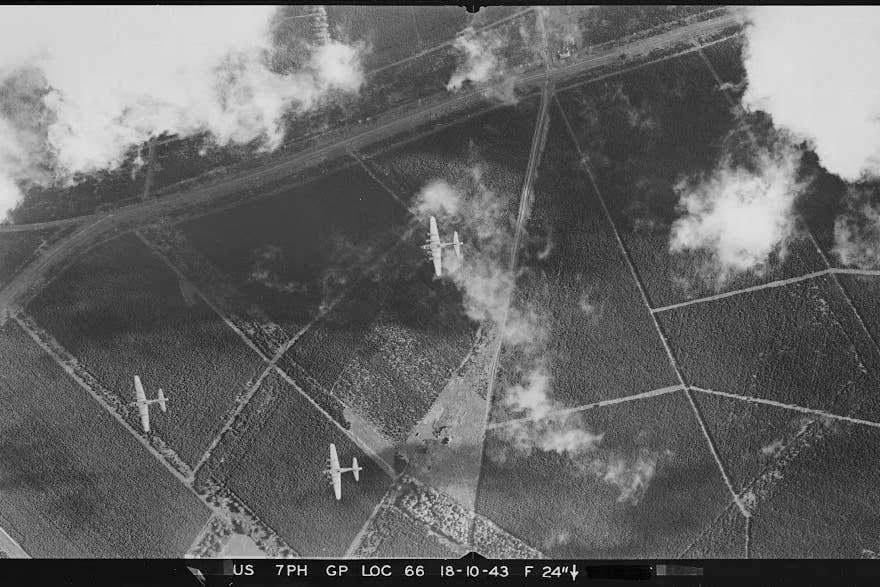
The black and white images were taken by the US Army Air Forces (USAAF) Photographic Reconnaissance units, stationed at bases across England in 1943 and 1944, after the US joined the war in December 1941.
The 3,600 photographs offer a birds-eye view of the country as it changed during the Second World War, including bomb damage to towns and cities such as Old Trafford football stadium in Greater Manchester.
Damage to the main stand of the football ground can be seen in the photo, after it was hit in a bombing raid in March 1941. The home of Manchester United was not used again for football until 1949.
They also capture ancient monuments surrounded by anti-tank defences in West Sussex, such as Cissbury Ring Iron Age hillfort in Worthing where ditches and concrete cubes can be seen laid out to impede an enemy advance.
Meanwhile, there is low-level photograph showing part of a US Army camp in Wiltshire which shows firing ranges in the foreground while troops play a game of baseball in a recreation field in the top left of the image.
A photograph of Worthing Pier in West Sussex, taken in April 1944, also shows part of its decking removed to make an enemy landing more difficult, while an image taken on Christmas Eve in 1943 at Stonehenge in Wiltshire shows the markings highlighting the location of a First World War aerodrome and camp.
The collection, which capture a variety of locations and an “astonishing level of detail”, have been made available to the public for the first time in an online, searchable map on the Historic England Archive.
Duncan Wilson, chief executive of Historic England, said: “Our USAAF Collection records changes taking place in England as a result of the Second World War, as well as capturing fascinating incidental detail, like American troops playing baseball.
“Our collection of USAAF wartime photographs were taken in England by the pilots and aircraft of squadrons that provided intelligence for the eventual defeat of Nazi Germany. This came at a cost, with many pilots killed in the line of duty.
“We are making these images available to the public for the first time online, giving people access to this remarkable collection of historic photographs. They help to highlight the vital role aerial reconnaissance played in the Second World War.”
Subscribe to Independent Premium to bookmark this article
Want to bookmark your favourite articles and stories to read or reference later? Start your Independent Premium subscription today.