Mapped: Green belt land in your area as Keir Starmer threatens to build houses on protected sites
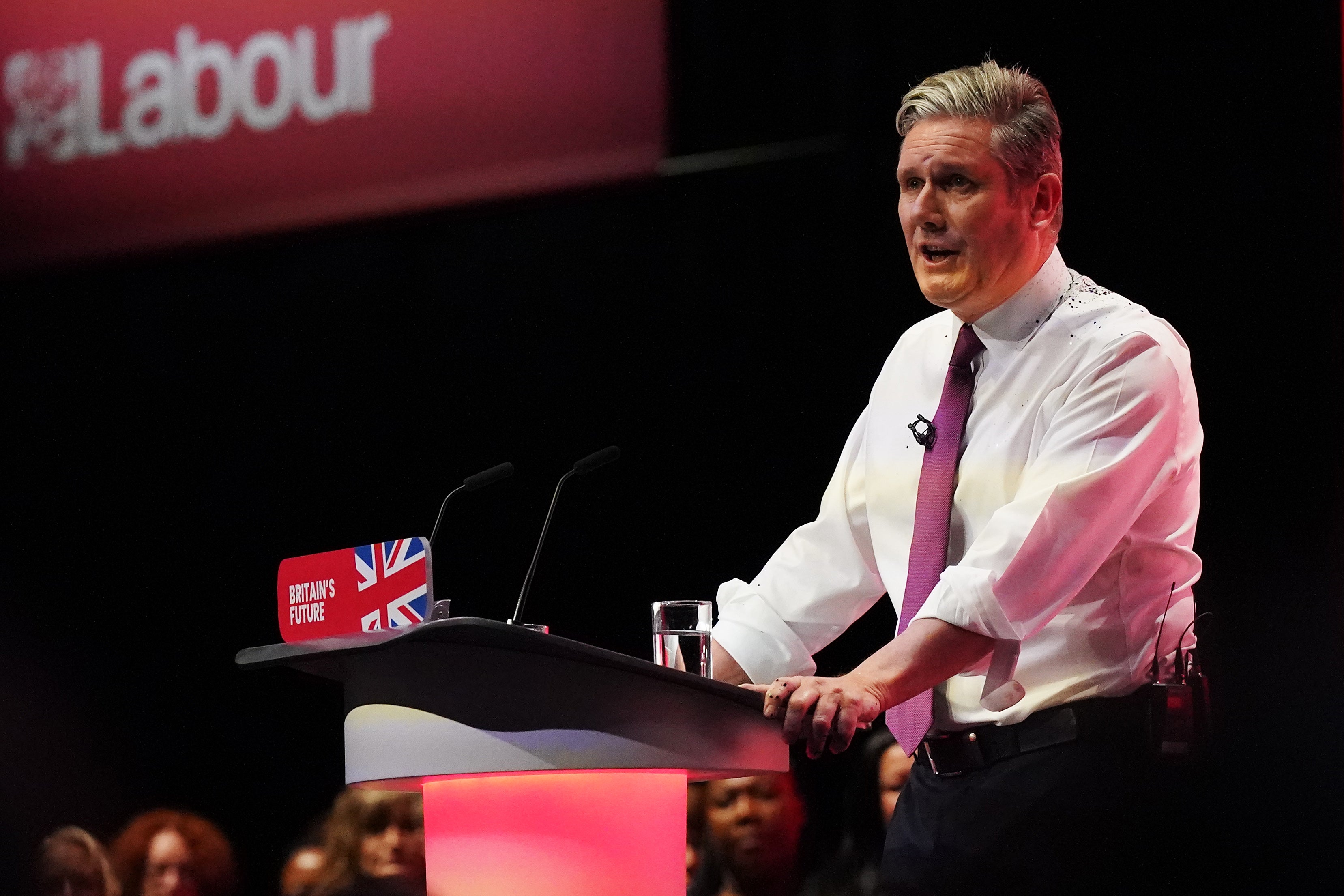
Labour leader says his party will build 1.5 million homes in five years and vowes to crack down on nimby MPs who try to block developments in their constituencies

Get the free Morning Headlines email for news from our reporters across the world
Sign up to our free Morning Headlines email
A newly-released map from the government reveals how much ‘green belt’ land each region of England has after Keir Starmer promised to review planning regulations and build 1.5 million homes over five years if Labour wins the next election.
The Labour leader said his party would focus developments on ‘brownfield’ sites first but warned he would “get tough” on his own ‘nimby’ MPs who try to block housebuilding in their constituencies.
Mr Starmer said in his conference speech this week that Labour would build a generation of “new towns” which would involve construction on some disused land on the green belt - such as car parks and wasteland - which he referred to as the ‘grey belt’.
‘Green belt’ land generally refers to areas of the countryside that are protected against “urban sprawl” by keeping land “permanently” open.
The House of Commons Library says it is for each local authority to “define” and maintain green belt land in their areas.
Some 12.6 per cent (1,638,420 hectares) of the land area of England is green belt, according to the most recent figures available from the Department for Levelling Up, Housing & Communities.
South East England has the largest area of land designated green belt at 305,280 (16 per cent), followed by the West Midlands with 264,510 (20.3 per cent)
Meanwhile, South West England and the East Midlands have the lowest amount on 107,970 (4.5 per cent and 77,410 (4.9 per cent) respectively .
Where are green belt areas?
How many hectares of green belt does each region have?
The amount of this land increased by 0.1 per cent over the past year, the DLHC said, as some local authorities added to their green belt or removed some of it.
Green belt land wraps around 16 of England’s towns and cities including London, Manchester, Birmingham and Liverpool, with some critics arguing that it favours wealthy people living in countryside towns while preventing the expansion of much-needed housing stock.
It is a highly contentious issue. Some commentators argue that the protections afforded by the green belt are too weak, and inappropriate development can encroach on the green belt, while others argue that the protections are too strong, and get in the way of building sufficient housing and so limit economic growth.
Think tanks such as the Adam Smith Institute and the Institute of Economic Affairs have argued that the release of at least some green belt land could help “solve the housing crisis”.
The Organisation for Economic Co-operation and Development (OECD) has also criticised the Green Belt system for being an obstacle to house building.
The Centre for Cities has suggested releasing Green Belt land within a short distance of train stations that serve major cities for development.
Meanwhile agents Savills have suggested that losses in green belt land in one area could be offset by the designation of land as green belt elsewhere.
A 2010 report by Natural England and CPRE (formerly the Campaign to Protect Rural England) concluded that green belt policy continued to be “highly effective” but called for “more ambition” to protect land.
Labour has said it will review the rules on green belt restrictions as a way to allow more houses to be built, with Sir Keir Starmer describing "dreary" green belt land such as disused car parks as "grey belt".
He wants to build 1.5 million homes in the first five years of Labour taking office and build entirely new towns, as Milton Keynes and Stevenage were after the Second World War.
DLUHC said every year around 10 local authorities make changes to the size of their green belt for various reasons.
This year, North Hertfordshire, which is jointly run by Labour and Co-operative and the Liberal Democrats, grew its green belt by 24 per cent, with nine other local authorities decreasing theirs slightly, to give a net change of a 0.1% increase.
After London, the region with the largest proportion of its land as green belt is the West Midlands, followed by the North West, Yorkshire and the Humber and the South East.
Net changes in green belt land area show it to have decreased between 2013 and 2021, when it started to show a net increase.
Subscribe to Independent Premium to bookmark this article
Want to bookmark your favourite articles and stories to read or reference later? Start your Independent Premium subscription today.
Join our commenting forum
Join thought-provoking conversations, follow other Independent readers and see their replies