UK weather: Indian summer over as storm warnings issued for severe wind and rain
Western England, Northern Ireland, Scotland and Wales will be worst hit
The Indian summer looks to be well and truly over as temperatures plummet and storms roll in to batter the UK.
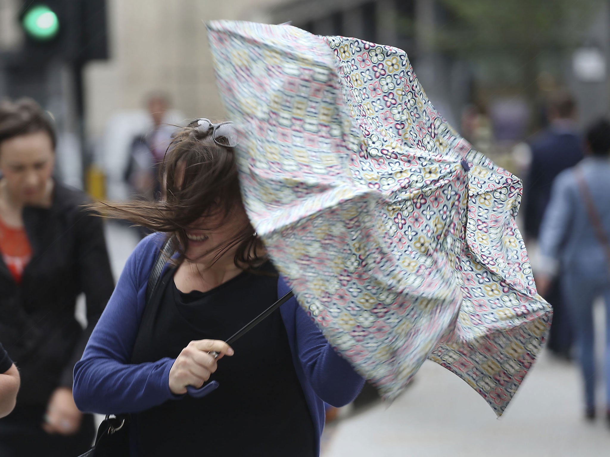
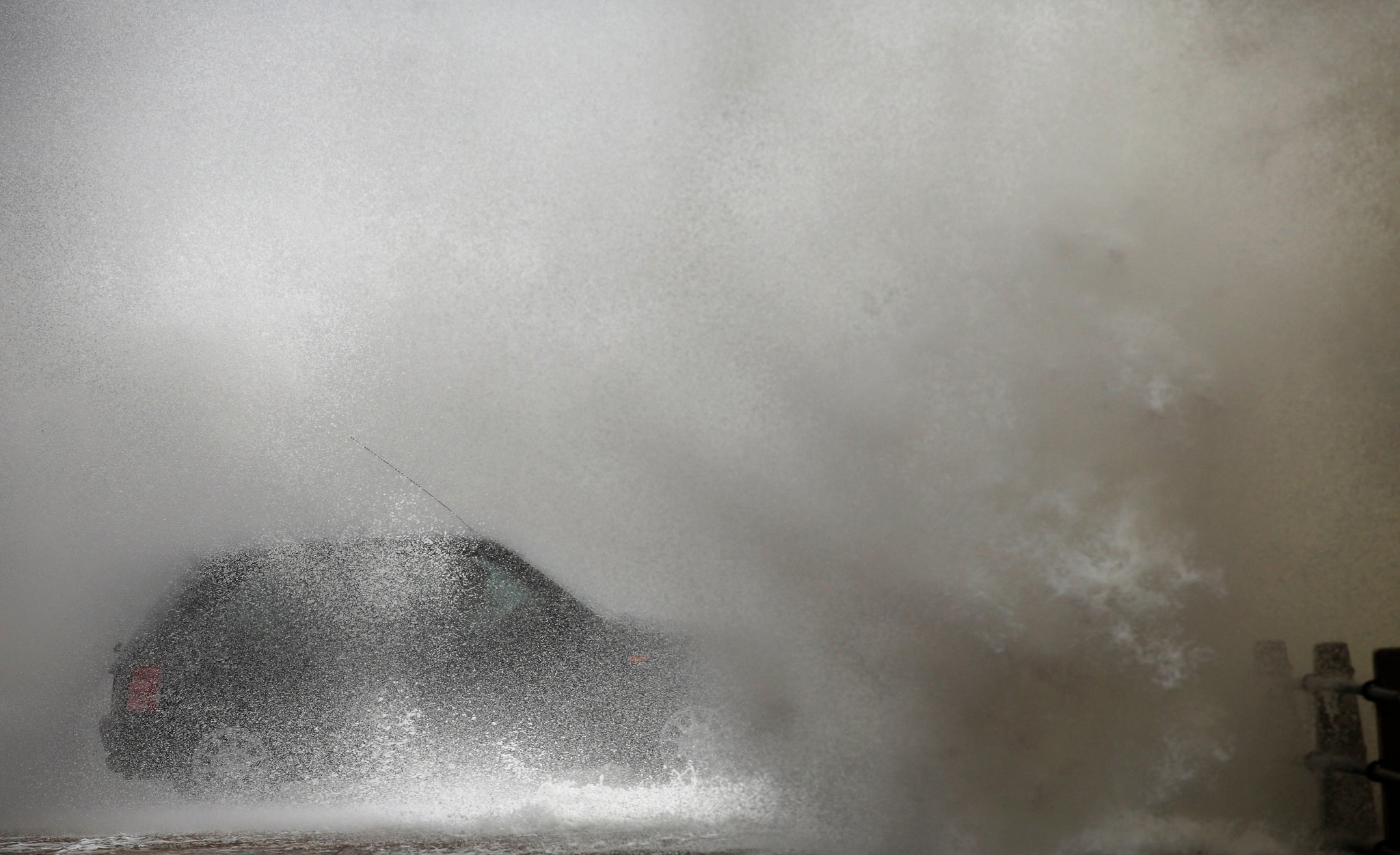
Travel disruption and flooding is expected in parts of the country on Monday and the Met Office has issued weather alerts for wind and rain.
Northern Ireland, South West England, western Wales and the Scottish coast will get the worst of the weather in the coming days.
Forecasters warned to expect potentially damaging gusts of up to 70 mph and torrential rain during Monday morning’s rush hour.
Issuing a yellow alert for wind from midnight to midday tomorrow, the Met Office said: “Strong winds, accompanied by heavy rain, will move westwards across the UK on Monday.
“Gales or even severe gales are likely around exposed coasts and high ground in the west and north on Monday morning.
"The public should be aware of the potential for travel disruption from the strong winds as well as standing water on the roads and reduced visibility from spray and driving rain."
Surface water could build up in urban areas and flood roads, especially where leaves are blocking drains.
In Northern Ireland, up to 50 mm (2 ins) of rain could fall on higher ground, increasing the possibility of floods.
Temperatures overnight will plummet to 6C, with a maximum temperature of 16C tomorrow.
It is almost a 10 degree drop compared to just a week ago, when much of the country was basking in warm sunshine.
Last month was the driest September since records began in the UK and one of the warmest, seeing temperatures far above average and just a fifth of the expected rain falling.
Additional reporting by PA
Join our commenting forum
Join thought-provoking conversations, follow other Independent readers and see their replies
Comments