Weather warning issued for snow and ice as commuters are told to prepare for possible Monday rush-hour disruption
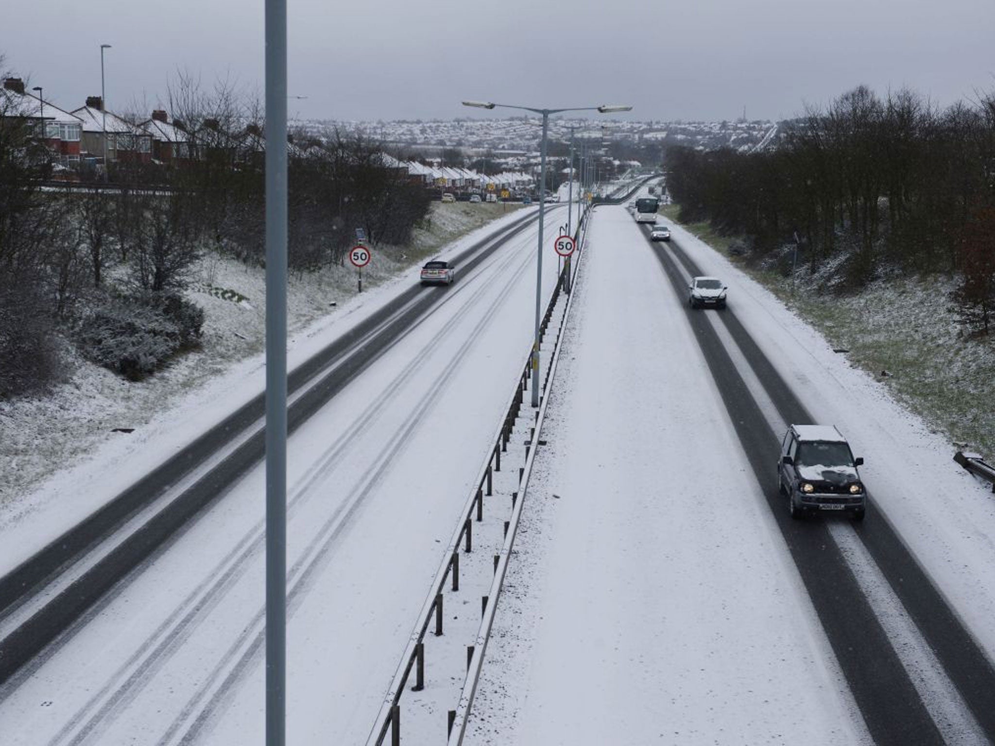
Commuters are being warned that snow fall could disrupt journeys during today's rush-hour as the band of sleet and snow turns heavier overnight

Get the free Morning Headlines email for news from our reporters across the world
Sign up to our free Morning Headlines email
The Met Office yesterday issued a level three cold weather warning as forecasters predicted icy conditions and snow for large parts of England.
Snow was expected as far south as Norfolk on Sunday and an ice warning is in place across the East coast.
Forecasters were warning that temperatures could drop to -7C in some areas last night, and to -9C by this morning.
The weather is unlikely to be "anything exceptional" say forecasters, however the risk of snow fall could still prove to be disruptive.
The whole of the South coast and Thames Estuary was forecast to receive anything up to 5cm of snow.
The Met Office has warned that the weather could increase the health risks to vulnerable patients and disrupt the delivery of services.
A level three cold weather action alert requires social and healthcare services to target specific actions at high-risk groups, such as the elderly.
A band of light sleet and snow was falling from East Anglia to Lancashire yesterday, before turning to heavier tonight in time for the Monday morning rush hour.
Norfolk was to will feel the brunt of the slushy snowfall today with around two cms.
Snow was expected to arrive along the south coast of England from Devon across to Kent in the early hours of Monday morning.
Experts at Meteogroup, the weather division of the Press Association warned that a big change in temperature would be felt.
Forecaster Andy Ratcliffe of Meteogroup said: "The band of snow, sleet and rain is moving between East Anglia and Lancashire today, with most snow falling across Norfolk today.
"Overnight everywhere will be very cold tonight with a brisk easterly wind and some scattered snow storms, though those areas are unlikely to get any significant accumulations.
"The most frequent snow storms will be towards the north-east coast and in the southern counties where there is a risk of more persistent snow and could reach a couple of cms."
He added that temperatures have already dropped to -2 in Scotland overnight.
Subscribe to Independent Premium to bookmark this article
Want to bookmark your favourite articles and stories to read or reference later? Start your Independent Premium subscription today.
Join our commenting forum
Join thought-provoking conversations, follow other Independent readers and see their replies