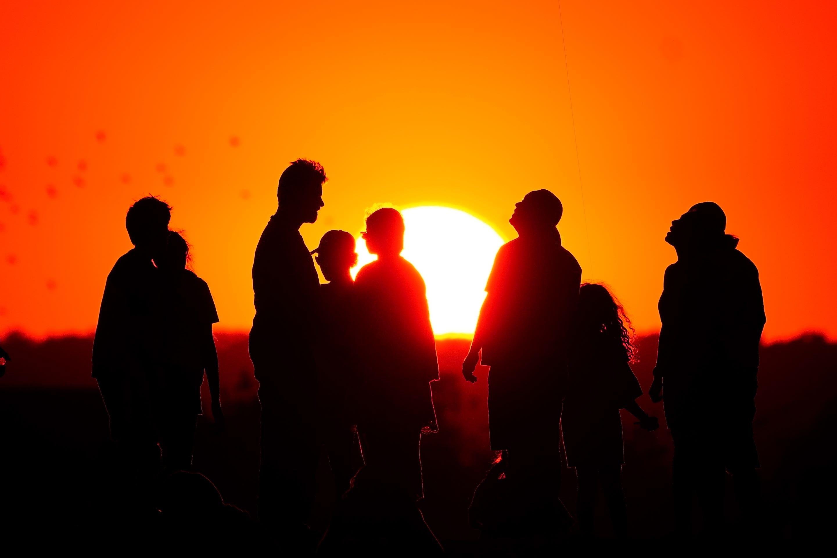
Hot weather to continue as temperature approaches 32C in London
The scorching end to summer looks to stick around with the September heatwave looking to peak on Saturday.

For free real time breaking news alerts sent straight to your inbox sign up to our breaking news emails
Sign up to our free breaking news emails
The hot weather in the southern part of Britain looks set to continue for the rest of the week, according to the Met Office.
With Thursday starting off warm and humid – with some fog in the east – the Met Office said temperatures across the UK will rise under largely sunny skies as the day continues.
Temperatures in the south look to nearly hit or exceed 30C, with London gearing up to hit a high of 32C at around 4pm Thursday.
Temperatures reached 32C in Kew Gardens, London on Wednesday, making it the hottest September day in the UK since 2016 and just 0.2C short of the hottest day of the year.
The west of the country may see some isolated heavy or thundery showers later on, but the hot weather looks set to continue into the weekend.
Met Office chief meteorologist Paul Gundersen said: “High pressure is situated to the southeast of the UK, which is bringing more settled conditions and temperatures well above average for the time of year.
“While the highest temperatures are expected in the south, heatwave conditions are likely across much of England and Wales especially, with parts of Scotland and Northern Ireland also likely to see some unseasonably high temperatures.”
September’s heatwave is likely to peak on Saturday with temperatures rising as high as 33C in London, the Met Office has said, although further north will be cooler.
That would make it the hottest day of the year, beating 32.2C in JUne, with the UK Health Security Agency issuing an amber warning for heat until Sunday evening at 9pm.
This means weather impacts are likely to be felt across the health service, with those aged above 65 or those with pre-existing respiratory or cardiovascular disease at greater risk.
Although temperatures have risen this high before in September, it is unusual for the heat to last so long with the Met Office predicting five to six days above 30C for some areas.
There is also a chance of tropical nights in the south, defined as having temperatures over 20C.
The heatwave is being driven by tropical storms pushing a high pressure system over the UK, with the jet stream having moved to the north and bending into what is known as an omega blocking pattern.
Named after the Greek letter omega because of its shape, this system occurs when an area of high pressure gets stuck between two areas of low-pressure to the west and east and also slightly south.
This has brought torrential rain and flooding for Spain and Greece but hot, dry and clear conditions for the UK and central Europe.
Met Office chief meteorologist Neil Armstrong said: “An active tropical cyclone season in the North Atlantic has helped to amplify the pattern across the North Atlantic, pushing the jet stream well to the north of the UK, allowing some very warm air to be drawn north.
“It’s a marked contrast to the much of meteorological summer, when the UK was on the northern side of the jet stream with cooler air and more unsettled weather.”
The Met Office defines a heatwave as three consecutive days of a particular region exceeding a given threshold, which varies around the UK.
For Scotland, Wales, Northern Ireland, Cornwall and northern England, the threshold is 25C; for Somerset, Hampshire and the Welsh Borders, 26C; the south coast, East Anglia and the East Midlands, 27C; and for London and the home counties the threshold is 28C.
Subscribe to Independent Premium to bookmark this article
Want to bookmark your favourite articles and stories to read or reference later? Start your Independent Premium subscription today.