Flood alerts as heavy rain sweeps in after ‘tornado’ hits south coast
Storm Ciaran is forecast to batter southern England later this week.

For free real time breaking news alerts sent straight to your inbox sign up to our breaking news emails
Sign up to our free breaking news emails
People in the South West are being warned of “significant coastal flooding” amid heavy rain and strong winds, including a “severe tornado” striking the south coast.
The Environment Agency has issued 72 flood warnings as the latest band of bad weather hits the country.
The Met Office has yellow warnings for rain in place on Sunday covering south Wales, south-east England, and eastern Scotland down to Newcastle.
A further warning is in place for Northern Ireland for Monday.
Forecasters warn the latest deluge could cause disruption to roads and public transport, and even lead to a “danger to life” from floods in parts of Scotland.
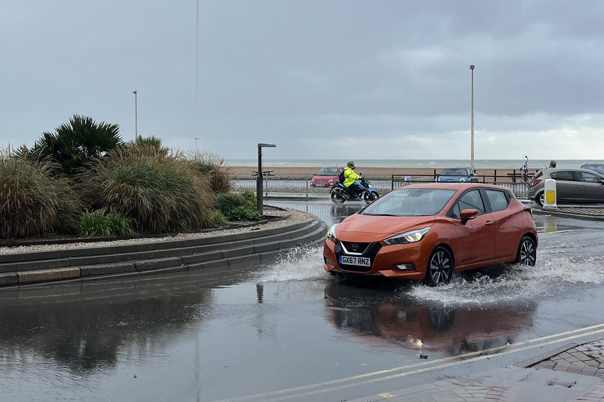
Flooding has been seen across Sussex over the weekend, including at the Priory Meadow Shopping Centre in Hastings which was evacuated on Saturday. Photos on social media showed floodwater coming through the entrance.
On Sunday, a caravan park in Bognor Regis was left under water, while the town’s Tesco supermarket car park also flooded.
And a house had its roof ripped off in Littlehampton, West Sussex, on Saturday in what the Tornado and Storm Research Organisation (Torro) has provisionally called a tornado with a rating of T4, signifying it as being of “severe” force.
The rating suggests the tornado would have involved winds of up to 61m/s (136mph) capable of causing damage to buildings and lifting up and carrying sheds or uprooting trees.
Sarah Horton, Torro site investigator, told the PA news agency: “When we got there, there was a house that had lost its roof so that very clearly put it in the T4 category.
When we got there, there was a house that had lost its roof so that very clearly put it in the T4 category
“The roof flew about 25 metres and the landlord of the property whose garden it landed in said the wooden joists had become embedded about one metre in the ground.
“It’s a strong tornado for the UK, I have visited only a couple of T4 sites in many years of visits.”
Local resident Naomi Theobold told BBC Sussex said: “It was quite scary. All you could see was rain and debris flying around.
“Our trampoline is currently in someone else’s garden, other neighbours’ cars have been damaged by debris and walls in front gardens have come down too.”
Kate Marks, flood duty manager at the Environment Agency, said: “Significant coastal flooding is expected in the South West of England today due to high spring tides. It is also probable there will be minor coastal flooding impacts along parts of the south and west coasts of England.
“We urge people to stay safe on the coast and to remember to take extreme care on coastal paths and promenades. Flooding of low-lying coastal roads is also possible and people must avoid driving through flood water, as just 30cm of flowing water is enough to move your car.
“People should check their flood risk, sign up for free flood warnings and keep up to date with the latest situation at https://www.gov.uk/check-if-youre-at-risk-of-flooding, and follow @EnvAgency on X, formerly known as Twitter, for the latest flood updates.”
The weather is expected to worsen as the week progresses with rain warnings in place until Wednesday.
A “deep area of low pressure” is set to arrive on Thursday which has been named by the Met Office as Storm Ciaran, threatening strong winds and heavy rain to southern parts of England and Wales.
Met Office deputy chief meteorologist Chris Almond said: “Winds associated with Storm Ciaran are likely to gust to 80mph along the south coast of England, with a small risk of somewhere exposed seeing 90mph, and winds could even gust up to 50 or 60mph further inland.
“This deep low-pressure system will also bring heavy rain to much of the UK, but the heaviest rain is expected in southern and western areas with 20 to 25mm quite widely across the region, but up to 40 to 60mm potentially over higher ground.
“Heavy and persistent rain will fall on to already saturated ground, bringing a risk of further impacts such as flooding in areas that are already struggling to clean up from the heavy rainfall we have seen over the last week or so.”
Subscribe to Independent Premium to bookmark this article
Want to bookmark your favourite articles and stories to read or reference later? Start your Independent Premium subscription today.