Met Office: Snow and icy conditions to cause further disruption
The Met Office has issued a fresh weather warning for snow and ice across parts of Northern Ireland, north-west England and North Wales.

For free real time breaking news alerts sent straight to your inbox sign up to our breaking news emails
Sign up to our free breaking news emails
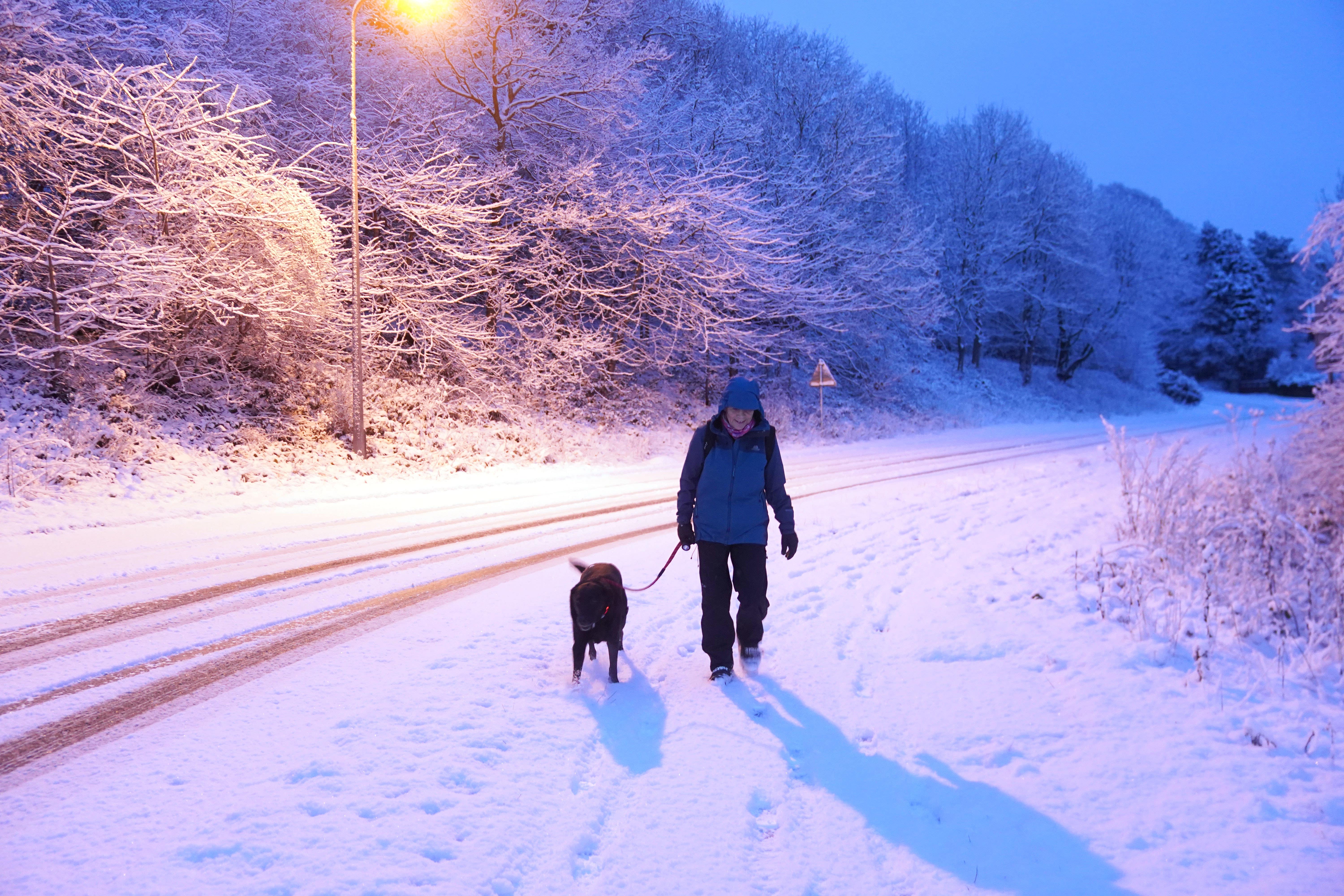
Snow and ice will continue to cause disruption in parts of the UK over the coming days as the cold snap could last until Friday, the Met Office has warned.
A Met Office yellow warning for snow and ice across parts of Northern Ireland, north-west England and North Wales will be in place from 12pm on Monday until 12pm on Tuesday.
It has also issued an ice warning for Cornwall and parts of Devon in south-west England from midnight until 9am on Tuesday.
Snow and ice is also expected to affect northern Scotland until 10am on Wednesday, it said.
The forecaster said “snow showers and icy stretches may bring some disruption”, and warned this could lead to longer journeys for drivers and train passengers.
It said treacherous conditions could also lead to slips and falls on icy surfaces, and urged drivers and cyclists to beware of icy patches on untreated roads.
It comes after wintry conditions moved in from the Arctic over the weekend, with people in areas such as Hexham, Northumberland, waking up to settled snow on Monday.
An overnight low of minus 9.1C was recorded at Dalwhinnie in the Highlands, the Met Office said.
The Met Office added: “Snow showers will become more frequent through Monday, continuing to feed in on north-westerly winds overnight.
“Accumulations of a couple of centimetres are possible at low levels, with higher ground expected to see 5-10cm in places.
“In addition, icy stretches are likely to form following showers.”
On Monday, Met Office senior meteorologist Alex Burkill said: “It’s fair to say it’s cold today, cold tonight, cold tomorrow and cold through much of the week really.
“Snow showers will continue across parts of Scotland, particularly in the north, probably seeding into Northern Ireland too.”
The wintry weather could push south on Monday, reaching East Anglia, he added.
There will be “lots of clear blue skies” by later on Monday, but cold temperatures will remain, with “absolute highs of 6C or 7C” while many places will be “several degrees colder than that”.
He added: “Lots of places will be low single figures, some places will stay below freezing today.”
He said Monday night is likely to be widely “slightly colder” than the night before, possibly bringing lows of minus 10C or minus 11C.
The warning for snow and ice in northern Scotland could well be extended into Thursday, he added.
The cold weather with “showery rain, sleet and snow” will continue into Wednesday and Thursday before becoming “more changeable” on Friday and conditions are “milder by the weekend,” he said.
“By the weekend there will be a real upturn in temperatures,” he added.
Rod Dennis, RAC spokesman, said: “After last week’s flooded roads, it’s now ice that poses the biggest danger to drivers.
“Anyone setting out needs to be particularly careful when driving on rural or other quiet roads which haven’t been gritted – key as always is slowing down so that drivers have as much time as possible to react should their cars lose grip.
“And, although this week’s cold snap will be much briefer than the freezing conditions we saw in December that led to the RAC’s busiest week ever, we’re still expecting to see a big increase in breakdowns.
“Batteries failing in the cold will be the top reason for calling us out, but people whose cars do start are most likely to need our help with tyre problems.”
Subscribe to Independent Premium to bookmark this article
Want to bookmark your favourite articles and stories to read or reference later? Start your Independent Premium subscription today.