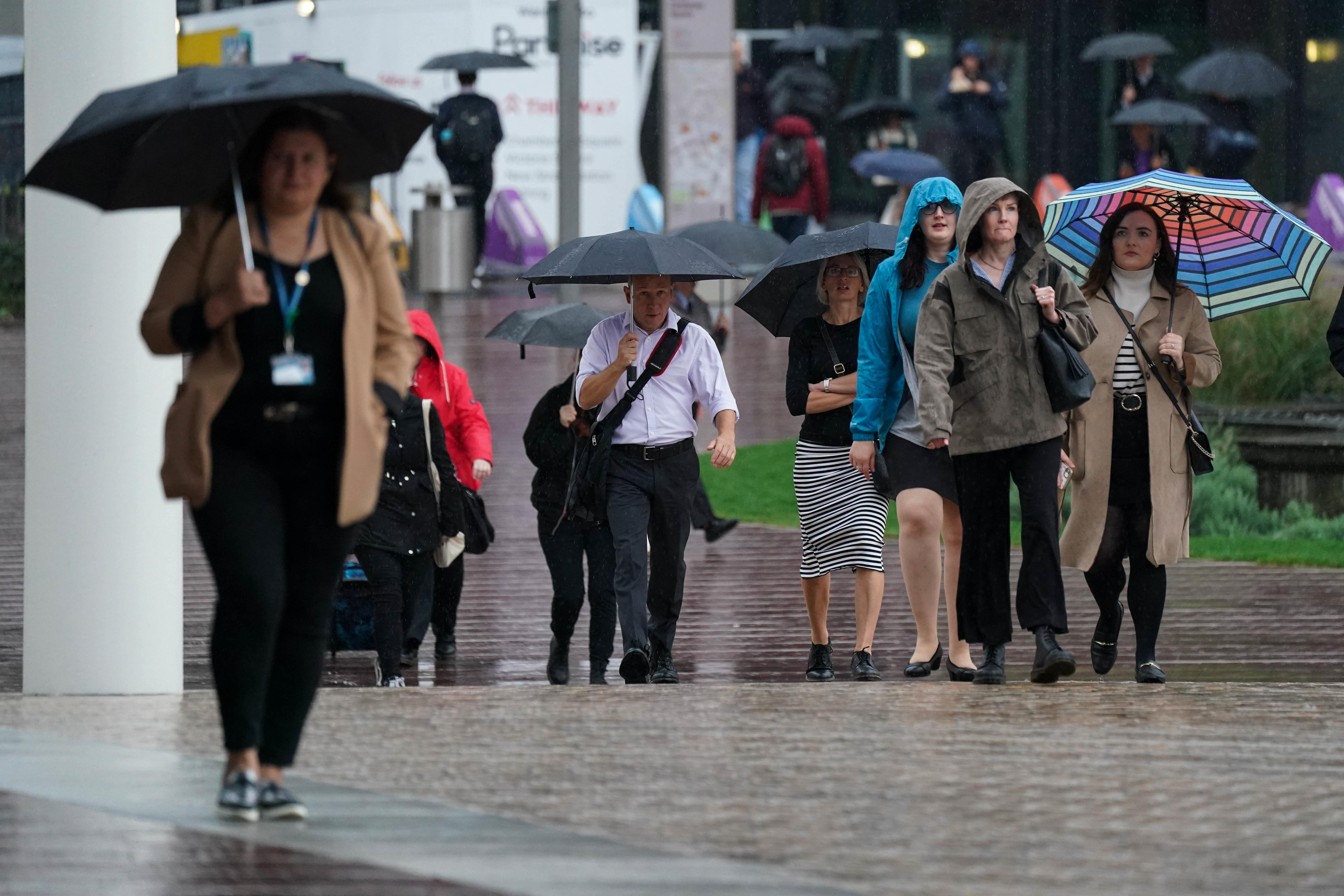
Weather warnings to come into force as UK and Ireland brace for Storm Agnes
The first named storm of the season is due to make landfall on the west coast of Ireland on Wednesday.

For free real time breaking news alerts sent straight to your inbox sign up to our breaking news emails
Sign up to our free breaking news emails
Weather warnings will come into force as the UK and Ireland brace for the arrival of Storm Agnes, which will bring damaging winds and big stormy seas.
The first named storm of the season is due to make landfall on the west coast of Ireland on Wednesday before its strong winds hit the UK closer to midday.
A string of Met office alerts will activate, with a yellow wind weather warning from midday on Wednesday to 7am on Thursday stretching across Scotland, Northern Ireland and Wales, as well as the south-west of England, the West Midlands and most of the north of England , and two yellow rain warnings covering areas of Scotland from 3pm on Wednesday to midnight.
Storm Agnes, which was described as “intensifying quickly” in the Atlantic during Tuesday evening, is expected to generate winds of up to 75mph and cause dangerous conditions along coastlines, especially Irish Sea coastlines.
Its main impact will be strong winds and large waves.
Met Office meteorologist Tom Morgan told the PA news agency: “We are likely to potentially see some damaging winds, the possibility of some brief power interruptions, particularly in Irish sea coastal areas.
“So Northern Ireland, north-west England, west Wales, and south-west Scotland, that’s where we’ll probably see gusts of up to 75mph (Wednesday) afternoon, (Wednesday) evening, that’s when the peak of the winds will be and then Storm Agnes will move across Scotland clearing away from Shetland through Thursday morning.”
He added: “In addition to the winds, there’s going to be some large waves as well, so some big stormy seas, and therefore there might well be some coastal flooding where the waves break on to promenades and on to coastal roads.”
The storm is likely to cause “dangerous conditions” on the coasts around the UK and Ireland, according to The Royal National Lifeboat Institution (RNLI).
They advised staying a “safe distance” away from the water and cliff edges to avoid being knocked over or washed into the sea.
RNLI water safety partner Sam Hughes said: “It is not worth risking your life.
“If you see someone else in danger in the water, call 999 or 112 and ask for the Coastguard. If you have something that floats that they can hold on to, throw it to them. Don’t go in the water yourself – you may end up in difficulty too.”
Disruption to ferry services across the Irish Sea, bridge closures, power cuts and “small amounts” of damage to buildings are also expected.
Storm Agnes will be “more widespread” than the last named storm to hit the UK, Storm Betty, but it will not produce “significant widespread and long lasting travel disruption”, it is understood.
On Thursday, most parts of the UK will be poised for a “much calmer” forecast and further spells of wet and breezy weather should peter out by the end of the week for a drier weekend.
Subscribe to Independent Premium to bookmark this article
Want to bookmark your favourite articles and stories to read or reference later? Start your Independent Premium subscription today.