Rare red weather warning issued as Storm Babet hits UK
The alert, which warns of a risk to life because of ‘fast flowing or deep floodwater’, covers parts of Angus and Aberdeenshire.

For free real time breaking news alerts sent straight to your inbox sign up to our breaking news emails
Sign up to our free breaking news emails
A rare red weather warning stating there is a “risk to life” has been issued for parts of Scotland as Storm Babet is expected to batter the UK on Thursday.
The UK is bracing for heavy wind and rain from the storm, which is currently hitting Ireland after sweeping in from the Atlantic.
The Met Office has issued an amber weather warning for parts of eastern Scotland on Thursday, while yellow warnings for rain cover eastern England and the rest of Scotland on Friday.
The red warning states there is “danger to life from fast flowing or deep floodwater” in Aberdeenshire and Angus, with extensive flooding and road closures also expected.
This is the first red warning for rain issued in the UK since Storm Dennis in February 2020.
There could also be power cuts and some areas could be cut off for days.
Storm Babet, a complex area of low pressure which developed to the west of the Iberian Peninsula, was named by the Met Office on Monday morning.
The second named storm of the season will last until Saturday, the forecaster said, and is expected to cause flooding, power cuts and travel disruption.
On Wednesday, it was causing flooding on roads in Ireland.
Rain warnings for every county in the Republic of Ireland were in place overnight, having come into effect at various stages on Tuesday.
Yellow severe weather warnings have been issued across the week from Thursday until Saturday for a vast swathe of the UK, covering already-saturated parts of Scotland, Northern Ireland, and northern and eastern England.
It has already brought heavy rain and flooding in Northern Ireland on Wednesday.
A Met Office spokesman said the red warning area covered from just north of Dundee up towards Aberdeen, and inland towards Balmoral.
The certainty of the forecast has increased, as has the amount of expected rainfall.
It begins at 6pm on Thursday and is active until midday on Friday.
Chief meteorologist Jason Kelly said: “Confidence has increased in the chances of considerable impacts from rainfall in parts of the east of Scotland from Storm Babet, which has resulted in the escalation to the red warning.
“One hundred to 150mm of rain is expected to fall quite widely within the warning period, with some locations likely to see 200-250mm, which is expected to cause considerable impacts, with flooding likely.”
He continued: “Storm Babet will track gradually northwards in the coming days, and although the most significant impacts are expected within the red and amber warning areas, there will still be wider impacts for much of the UK from this wind and rain.”
David Morgan, flood duty manager for the Scottish Environment Protection Agency (Sepa), urged people in the affected areas to check for flood updates in the coming days.
He said: “Storm Babet will bring heavy rain and high winds across Scotland from Wednesday evening, starting in the south-west before moving across to the north-east through Thursday and into the weekend.
“Impacts from surface water and rivers are likely, and with catchments saturated from recent heavy rain and flooding, we’re urging people to be prepared for potential flooding.
“There is also concern that surface-water flooding may be exacerbated by debris blocking drainage, culverts, etc. as a result of the high winds.”
Transport Scotland has advised the public to avoid travel in red warning areas and to expect a high risk of disruption in the amber areas.
Operator manager Stein Connelly said: “People need to plan ahead and be prepared. Avoid travel unless essential.
“If you do need to travel, check before your travel as your journey is likely to be affected by these latest severe weather warnings.
“For those in Angus and South Aberdeenshire, the advice is clear – do not travel during the period the red warning is in effect. The rain is expected to present some really challenging conditions.
“The Multi Agency Response team will be in operation to monitor conditions and co-ordinate our response. However, the public can play a key role by planning ahead.
“Latest Police Scotland advice is to expect a high risk of disruption across central and the north east of Scotland. Police are also asking people not to travel across the areas of Angus and South Aberdeenshire.
“It’s a rapidly moving situation, so please check the Traffic Scotland and Police Scotland social media updates and local radio bulletins for the very latest updates.”
Chief Superintendent Hilary Sloan, head of road policing for Police Scotland, added: “Our advice is to avoid any form of travel during the period of the red weather warning.
“Driving conditions are expected to be extremely dangerous with disruption and significant delays.
“Amber warnings still remain in place for rain and wind so high-sided vehicles in those areas should consider how essential their journey is.
“Don’t ignore road closure signs – they are for your safety.”
First Minister Humza Yousaf also warned against all but essential travel in the parts of Scotland affected by the red warning.
He posted on Twitter: “Please be aware of the challenging weather we are due to experience across Scotland, most severe from Thursday 18:00 – Friday 12:00.
“Weather warning across Angus & the North East has been upgraded to red.
“Travel should be avoided unless absolutely essential.”
Mass train cancellations were imposed by ScotRail, expected to last from Thursday until Saturday.
North and north-east Scotland will have trains suspended while the south and west will be hit by delays.
Services will be suspended between Aberdeen and Elgin; Edinburgh and Aberdeen via Fife; and Perth and Aberdeen via Dundee.
Trains between Dunblane and Perth will be put on hold; as well as Perth and Aviemore; and Tain and Wick / Thurso; and all Fife Circle services will be suspended, impacting services between Glasgow Queen Street and Aberdeen / Inverness; and between Edinburgh Waverley and Aberdeen / Inverness.
A spokesman for ScotRail said: “Due to the red weather warning and the likelihood of flooding and poor driving conditions, customers on these routes are advised not to travel.
“The train operator expects line closures to last until Saturday, dependent on weather conditions and any repair work to railway infrastructure.
“Other routes across the network will be impacted by speed restrictions, meaning services may be subject to delay or cancellation.”
David Simpson, ScotRail service delivery director, said: “This is a necessary step to ensure everyone’s safety during the severe weather.
“Speed restrictions will be in place as a precautionary measure on other routes, which will mean longer journey times.”
Some schools will close due to Storm Babet, with local authorities working to “preserve life”.
Angus Council said the severe weather warnings were “unprecedented”, and schools would be closing at lunchtime on Thursday, and all day on Friday.
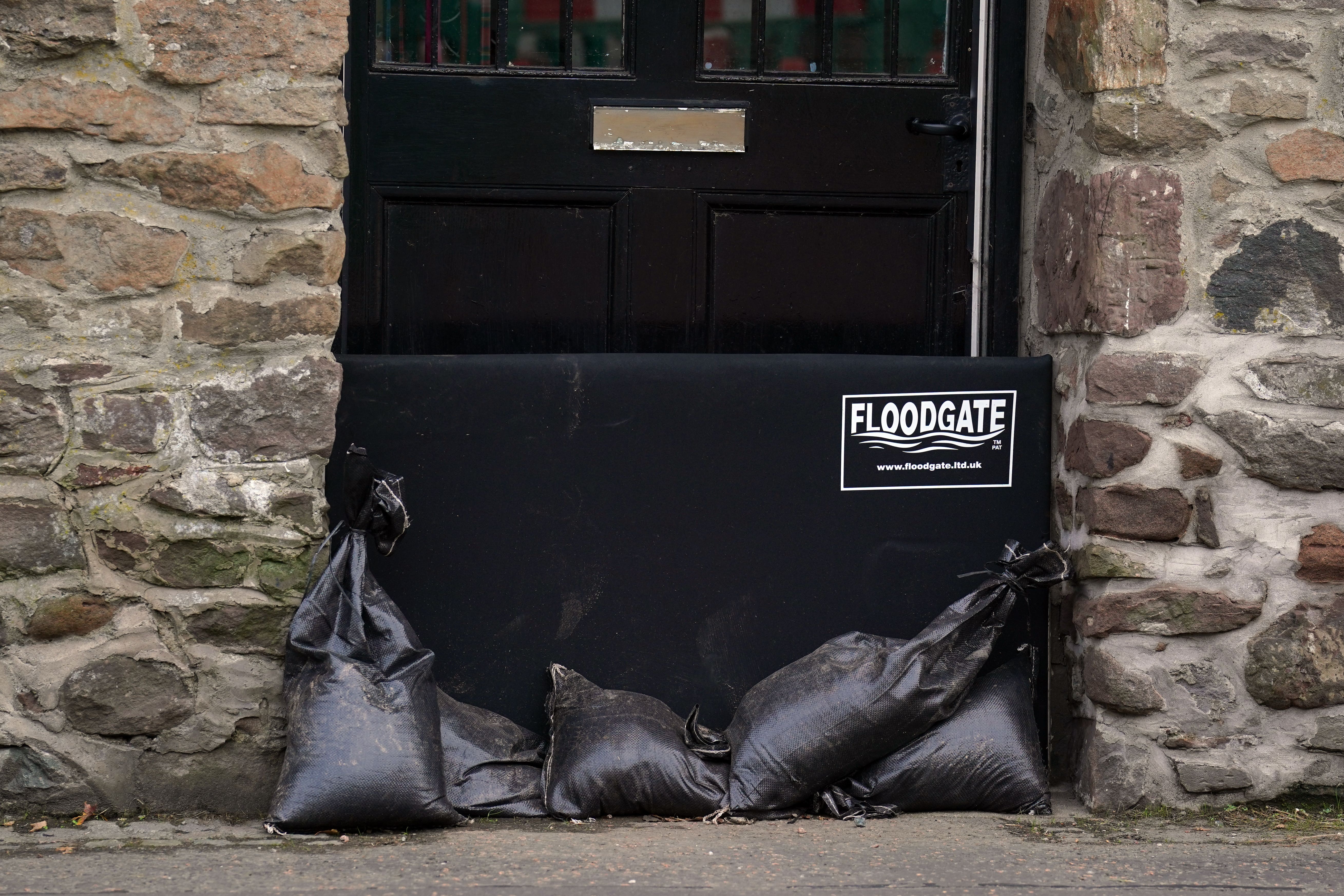
The council said Sepa advised that the North and South Esk River were at greatest risk of flooding with sand bags being distributed and flood prevention schemes operational in Brechin and Arbroath.
A spokesman for Angus Council said: “Although red warnings are extremely rare, Angus is used to severe adverse weather conditions and has robust resilience plans in place with local teams preparing to respond to the situation as it develops.
“We are working closely with our resilience partners and will continue to work together as the days unfold. The focus of our energies and resources are on the areas of greatest need, focusing on preserving life and ensuring the safety of our citizens.”
Scotland has already experienced a significant flood event this month and some of the rainfall totals forecast for this week are higher than experienced over that weekend – albeit in some different areas
Rainfall during Storm Babet is expected to be higher than during previous flooding earlier this month, Sepa warned.
Crisis talks were held by the Scottish Government, chaired by Deputy First Minister Shona Robison, and drivers were urged not to use the roads especially in Angus and South Aberdeenshire.
Ms Robison said: “Red warnings are rarely issued and this reflects how serious the impacts will be from exceptional weather. If you are in parts of Angus and South Aberdeenshire affected, stay at home.
“Other parts of Scotland are also at risk as rivers respond and drainage systems become overwhelmed, exacerbated by many catchments already saturated following last week’s heavy rainfall and flooding.”
Assistant Chief Constable Stuart Houston said: “Driving conditions are expected to be extremely dangerous with disruption and significant delays. In areas covered by amber warnings, we would urge drivers, particularly high-sided vehicles, to consider if their journeys could be delayed.”
Pascal Lardet, Sepa flood duty manager, said: “Scotland has already experienced a significant flood event this month and some of the rainfall totals forecast for this week are higher than experienced over that weekend – albeit in some different areas.
“We’re expecting extensive river and surface water flooding with widespread impacts to transport and infrastructure. There is a risk of more significant property flooding – and danger to life.”
Subscribe to Independent Premium to bookmark this article
Want to bookmark your favourite articles and stories to read or reference later? Start your Independent Premium subscription today.