The Independent's journalism is supported by our readers. When you purchase through links on our site, we may earn commission.
Faroe Islands use sheep to get on Google Maps
Cameras strapped to sheeps' backs have enabled the Faroes to be documented on Google Street View
As methods of gaining international recognition go, putting your sheep population to use is one of the more unusual. But in a country where there are seven sheep for every five humans, it might not be such a bad idea.
With a population of 70,000 sheep and just 50,000 people, the remote Faroe Islands have previously struggled to get international recognition on Google Maps. Wounded that their roadways haven't been documented for the rest of the world's perusal, one local resident (alongside the tourist board) decided it would be a good idea to employ the islands' woolly creatures in order to help visitors explore the landscape.
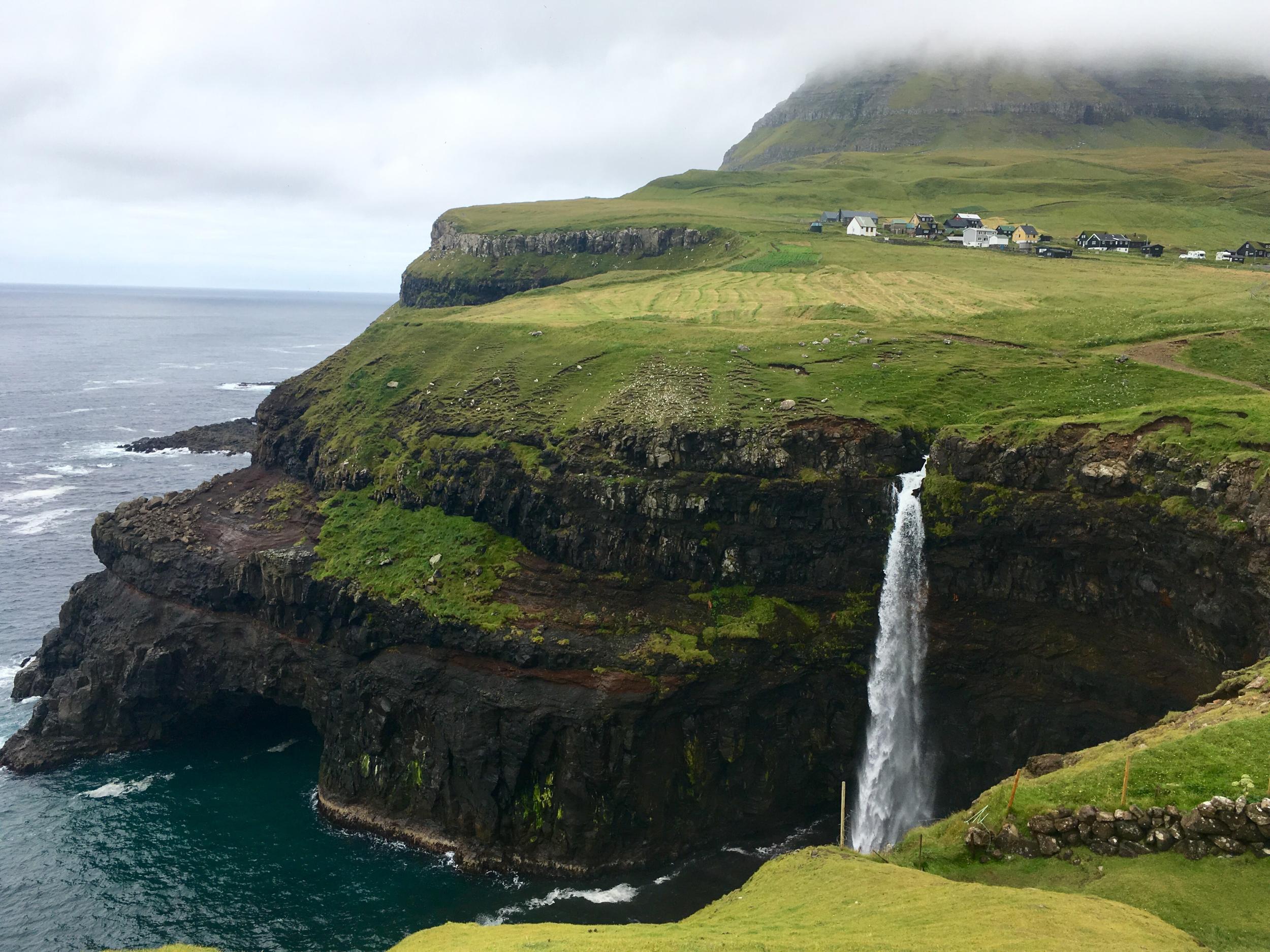
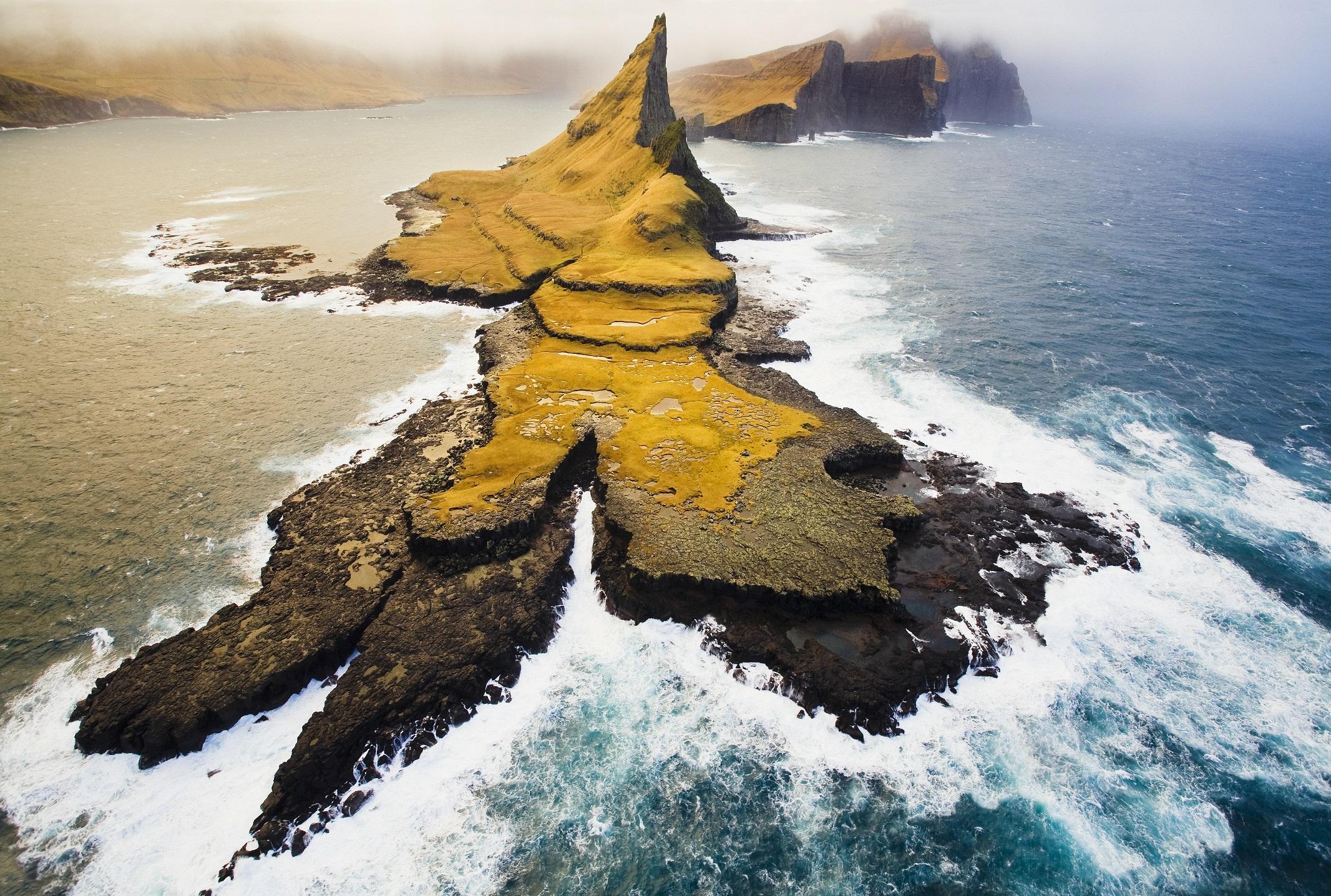
Off the radar of many travellers, the Faroe Islands is made up of 18 islands in the North Atlantic, between the Shetlands, Iceland and Norway. Last year the country's tourist board petitioned Google to let it be featured on Google Street View by mounting cameras onto the backs of sheep, calling it "Sheep View". Their bid was a huge success - and now Google has announced that Google Street View is now available in the Faroes.
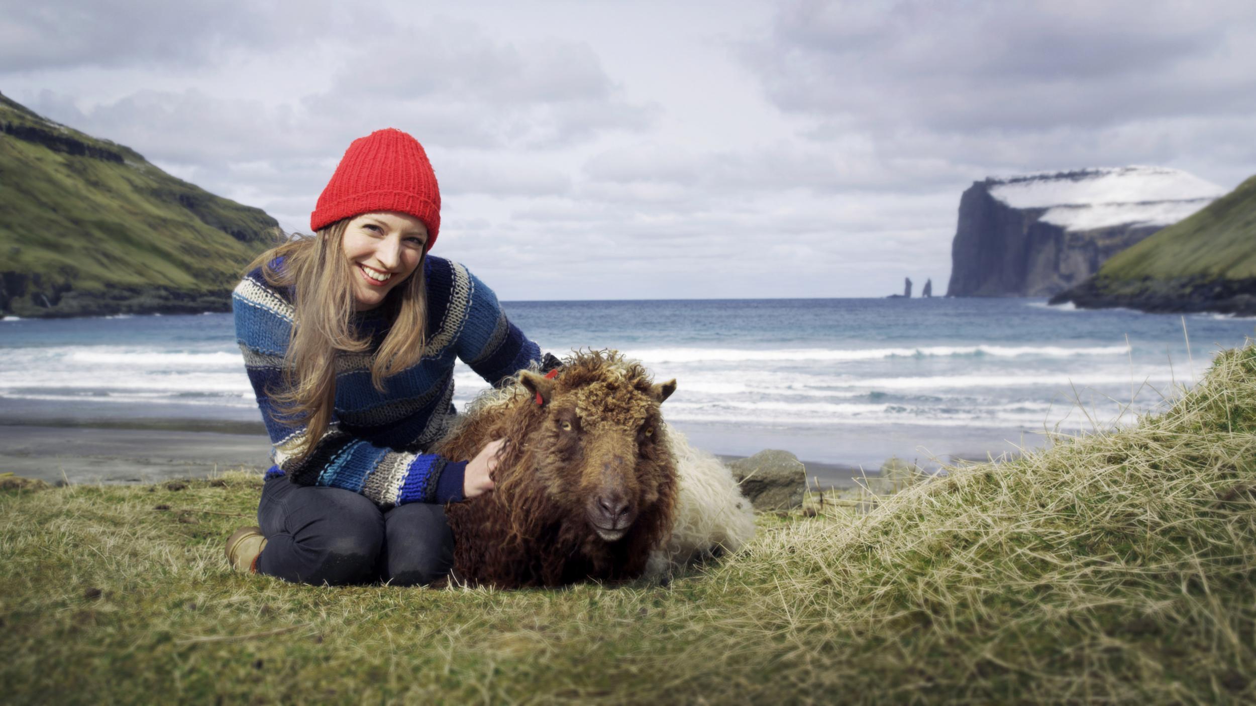
The initiative was launched by local resident Durita Andreassen. Keen to share her homeland's natural beauty with the world, Andreassan petitioned the internet giant alongside the Faroese Tourist board. They equipped a few sheep with solar-powered 360-degree cameras to collect images which could be uploaded onto Google Maps.
After hearing about the move, Google supplied the country with a Street View Trekker and 360-degree cameras via its Street View Camera Loan programme.
Speaking to The Independent, Levi Hanssen from Visit Faroe Islands said: “We’re delighted that the Sheep View project surpassed all of its goals. 2017 has seen a substantial increase in visitor numbers and people all around the world, who previously had never heard of the Faroe Islands, now know that our islands exist.
"We managed to not only put the Faroe Islands on the world map, but also on Google Street View, which is fantastic.”
Following the success of Sheep View, the Faroese are now campaign to have their language included on Google Translate. With fewer than 80,000 people around the world speaking it and a growing tourist market, the tourist board is concerned that foreigners are unable to look up basic phrases.
Hanssen - the project manager for the Faroe Islands Translate scheme - told The Independent that they're building a :video database that visually and audibly logs the Faroese language" for the first time in history.
"Our dream is to have Google Translate but, in the meantime, we will have our self-made Faroe Islands Translate,” he said.
As with Sheep View, they have created their very own version of the service, this time with the help of local people who are translating live by video.
At this rate, however, it won't be long before they get their way with Google.
Join our commenting forum
Join thought-provoking conversations, follow other Independent readers and see their replies
Comments