UK weather: Thunderstorm warning today as Britons face lightning strikes and torrential downpours
Heavy downpours and humid temperatures expected to continue in coming days, Met Office forecast says

For free real time breaking news alerts sent straight to your inbox sign up to our breaking news emails
Sign up to our free breaking news emails
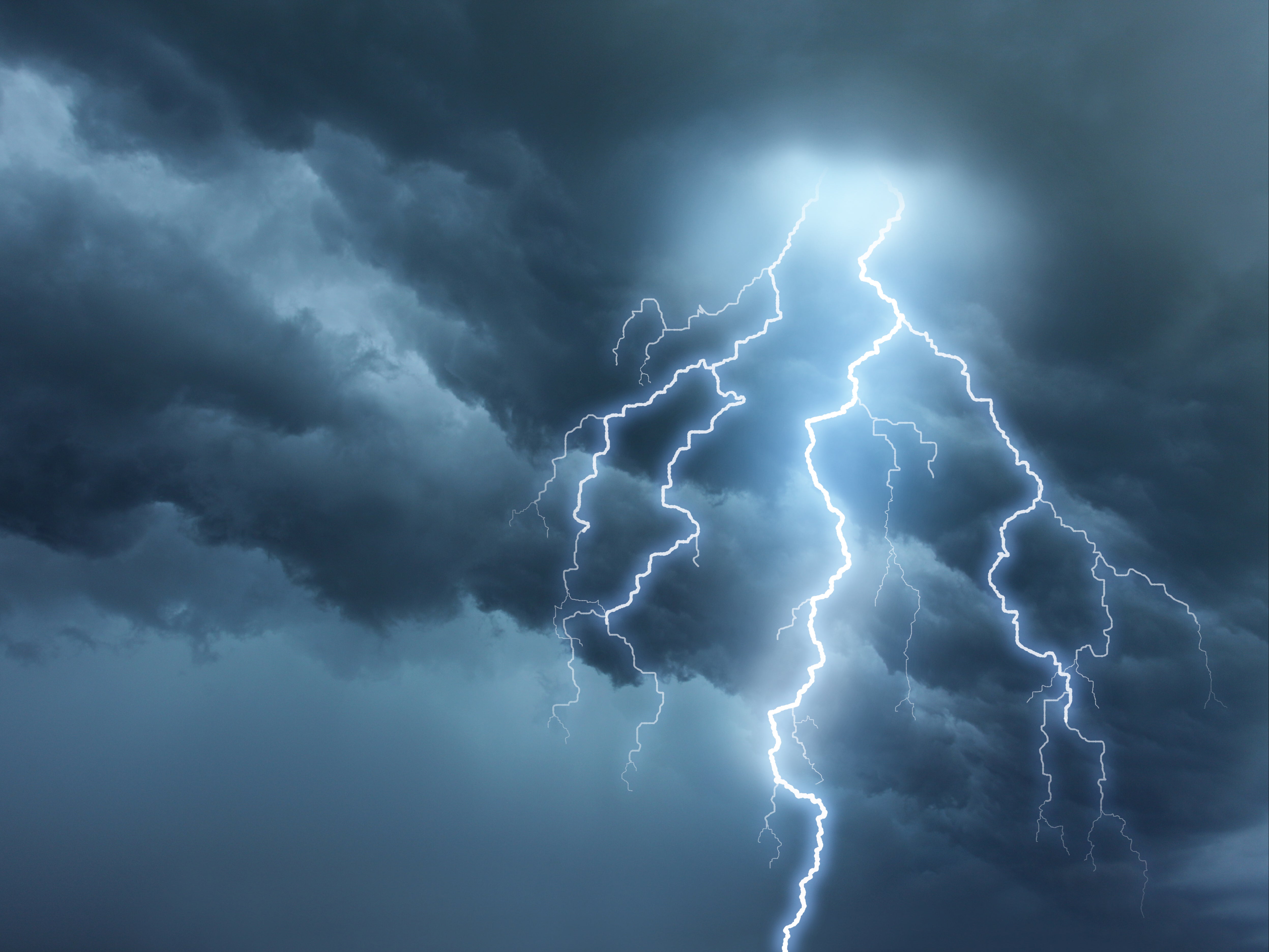
Large parts of the UK face warnings for thunderstorms with lightning strikes and torrential downpours forecast on Monday.
The Met Office alerts come after scorching temperatures hit highs of 32C on Sunday, the hottest day of the year so far.
The yellow warnings cover large parts of England including London, Oxford, Nottingham, and Manchester, with further alerts for Scotland and Northern Ireland.
The warnings are in place from midday until 9pm on Monday and temperatures are again expected to be close to 30C.
“We’re expecting a fine and hot start, temperatures rising fairly quickly during the course of the morning under strong early summer sunshine and that’s likely to spark a few thundery showers,” Met Office meteorologist Dan Stroud said.
As the hot and humid temperatures bring downpours, parts of Wales and England can see 30mm of rain in an hour, with 60 to 80mm falling in some spots.
A total of 28.6mm of rain fell in Charlwood, Surrey, on Sunday afternoon, which is almost half the average for the whole month of June.
Forecasters have warned torrential downpours may cause challenging conditions in parts of the country.
Britons could expect a small chance of homes and businesses facing flooding, with “damage to some buildings from floodwater, lightning strikes, hail or strong winds”.
There could also be a chance of “delays and some cancellations to train and bus services” due to the same.
This comes after the country experienced its hottest day on record on Sunday with Kew Gardens recording mercury at 32C and temperatures reaching 30C at Heathrow.
Much of the UK was hotter than Monaco and the French Riviera where temperatures languished in the low 20s.
Apart from a yellow alert, the UK Health Security Agency has also issued an amber alert for hot weather until 9am on Tuesday in the West Midlands, East Midlands, east of England, South East and South West.
“We are likely to see the hot weather continue although high pressure is starting to build in,” Mr Stroud said.
“That’s going to kill off the showers and moving into next week the temperature will dip slightly to the mid to high 20s.”
The forecaster says that this week the risk of thundery downpours would continue in some areas and temperatures were likely to remain above average.
This summer in the UK is expected to be hotter than normal, though temperatures aren’t forecasted to break last year’s record-setting levels yet.
Early signs suggested higher-than-average heat was likely to occur in the UK and across Southern Europe for the rest of the month and the beginning of July, according to climate scientists from the Met Office and the bloc’s Earth observation agency Copernicus.
Britain baked in scorching heat last July, with temperatures hitting an unprecedented 40.2C in London and setting off fires across the city.
MET OFFICE OUTLOOK
Monday:
Generally fine and dry with plenty of sunshine in the south but an increasing risk of thundery showers in the north, with torrential downpours for some in the afternoon. Feeling hot and humid again. Low cloud developing along south coasts. Maximum temperature 29 °C.
Monday evening:
Any evening showers will die away, followed by a fine and dry night with light winds and largely clear skies. A chance of low cloud on coasts around dawn. Minimum temperature 12 °C.
Tuesday:
A fine and dry day with light winds and large amounts of sunshine. Remaining very warm or hot but cooler along the coast, where it’ll become breezy. Maximum temperature 29 °C.
Outlook for Wednesday to Friday:
Mainly dry through this period with generally large amounts of sunshine. Very warm or hot at first, although cooler on coasts. Temperatures trending slightly downwards though.
Subscribe to Independent Premium to bookmark this article
Want to bookmark your favourite articles and stories to read or reference later? Start your Independent Premium subscription today.
Join our commenting forum
Join thought-provoking conversations, follow other Independent readers and see their replies