London bus strike: Alternative Tube map shows walking times between stations
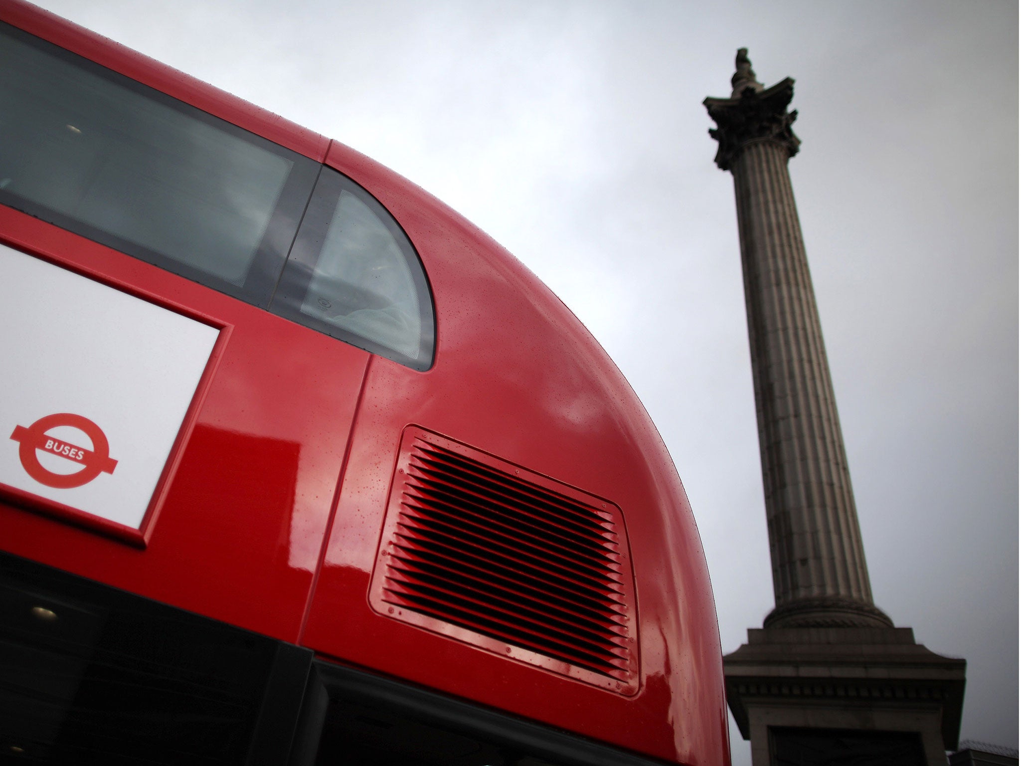
Commuters face disruption on Tuesday as 27,000 bus drivers are expected to strike over pay

Get the free Morning Headlines email for news from our reporters across the world
Sign up to our free Morning Headlines email
Commuters preparing for Tuesday’s bus strike in London can take advantage of a map which usefully shows the walking times between train stations.
As many as 27,000 workers are expected to take part in the strike over pay, according to the union Unite – forcing mid-week commuters to seek alternate routes.
Transport for London (TfL) confirmed that Abellio, Arriva, CT Plus, Go Ahead, London Sovereign, London United, Metroline, Stagecoach and Tower Transit are all likely to be affected by the Unite strike over pay disparity between the capital's 18 different operators.
However, potential passengers must wait until early on Tuesday morning to discover which bus routes are cancelled.
But would-be passengers can minimise their reliance on TfL services by using the walking map, which has been shared using #WalkLondon on Twitter.
Commuters will likely be thankful of the diagram, which shows how Tube stops are often much farther, or closer, than might be expected.
For example, it is possible to walk from Bond Street to Marble Arch in central London in a mere 8 minutes, while walking from Liverpool Street station to Bethnal Green in the east can take as long as 33 minutes.
Subscribe to Independent Premium to bookmark this article
Want to bookmark your favourite articles and stories to read or reference later? Start your Independent Premium subscription today.
Join our commenting forum
Join thought-provoking conversations, follow other Independent readers and see their replies