The snowstorms and low temperatures are the result of a sharp southward dip in the jet stream, pulling cold air down from the Arctic in what is often described as a “polar vortex”.
In Buffalo, New York, the impact of the cold front has been enhanced by the “lake effect”, where warm water coming off Lake Eyrie reacts with the drastically-colder air above to force massive snowfalls.
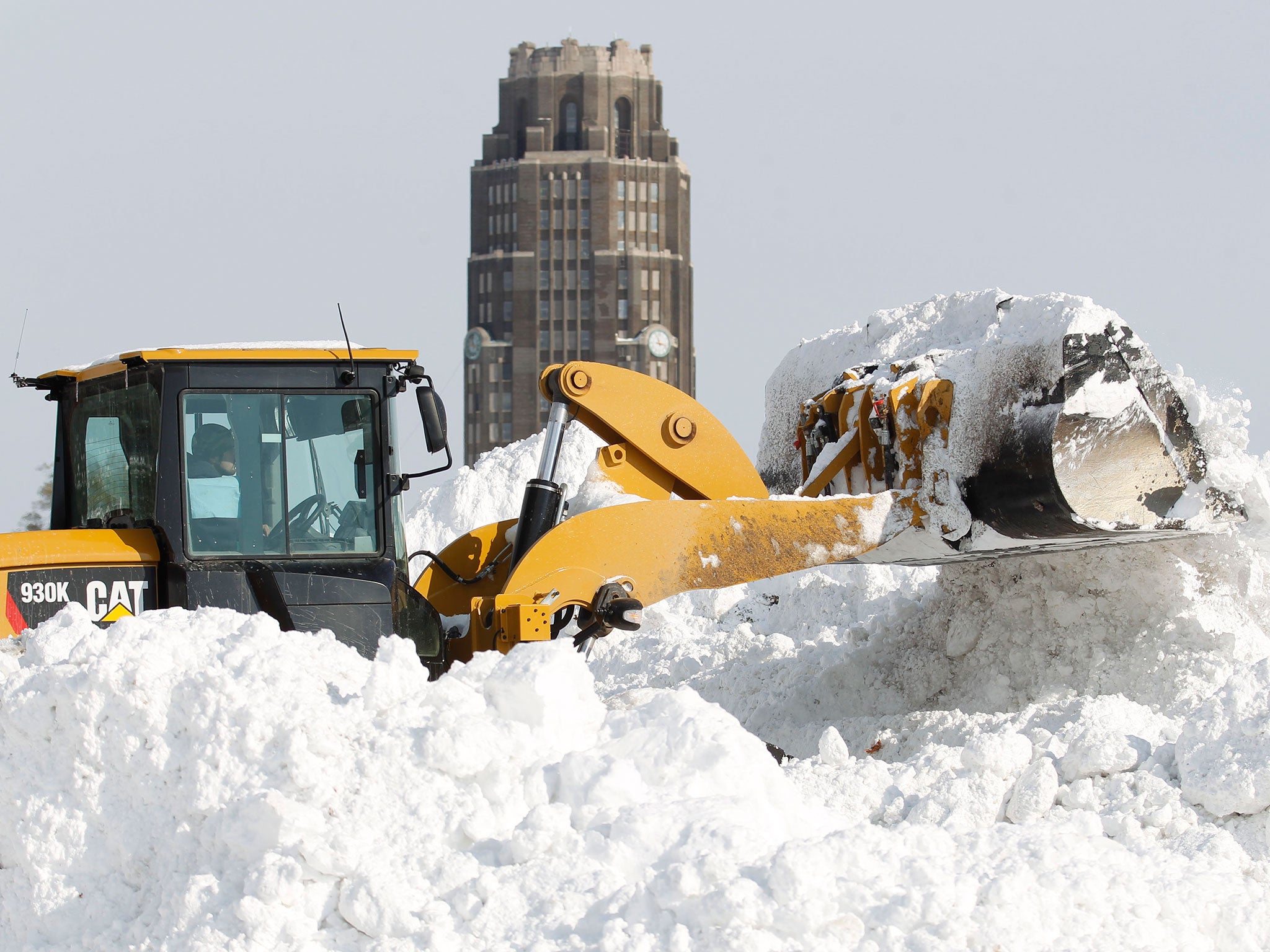
Around five feet (1.6m) of snow fell in some parts of Buffalo on Wednesday, and an additional three feet (1m) were forecast for Thursday night and Friday.
The impact has been deadly – at least eight deaths in New York state have been attributed to the storm, including one on Wednesday when a man collapsed while operating a snowblower.
But in a blog post today, the Met Office said that it is “by no means always the case” that American weather will “arrive in the UK a few days later”.
In pictures: New York snowstorm
Show all 22
UK forecasters have put in place only a couple of severe weather warnings for a “further period of prolonged rain” into the weekend.
And the Met Office said: “In this instance, there’s high confidence that the cold snowy weather will stay on the western side of the Atlantic.
“In past winters similar weather situations in the US have strengthened the jet stream and increased the risk of storms across our shores. [But] again, in this instance, this isn’t expected at the moment.
“What we do expect to see is further changeable weather over the coming few days,” it added.

Join our commenting forum
Join thought-provoking conversations, follow other Independent readers and see their replies