Storm Angus: First named storm of the season forecast to hit UK with 80mph winds
'Britain is in for a shock to the system,' says Met Office spokesman
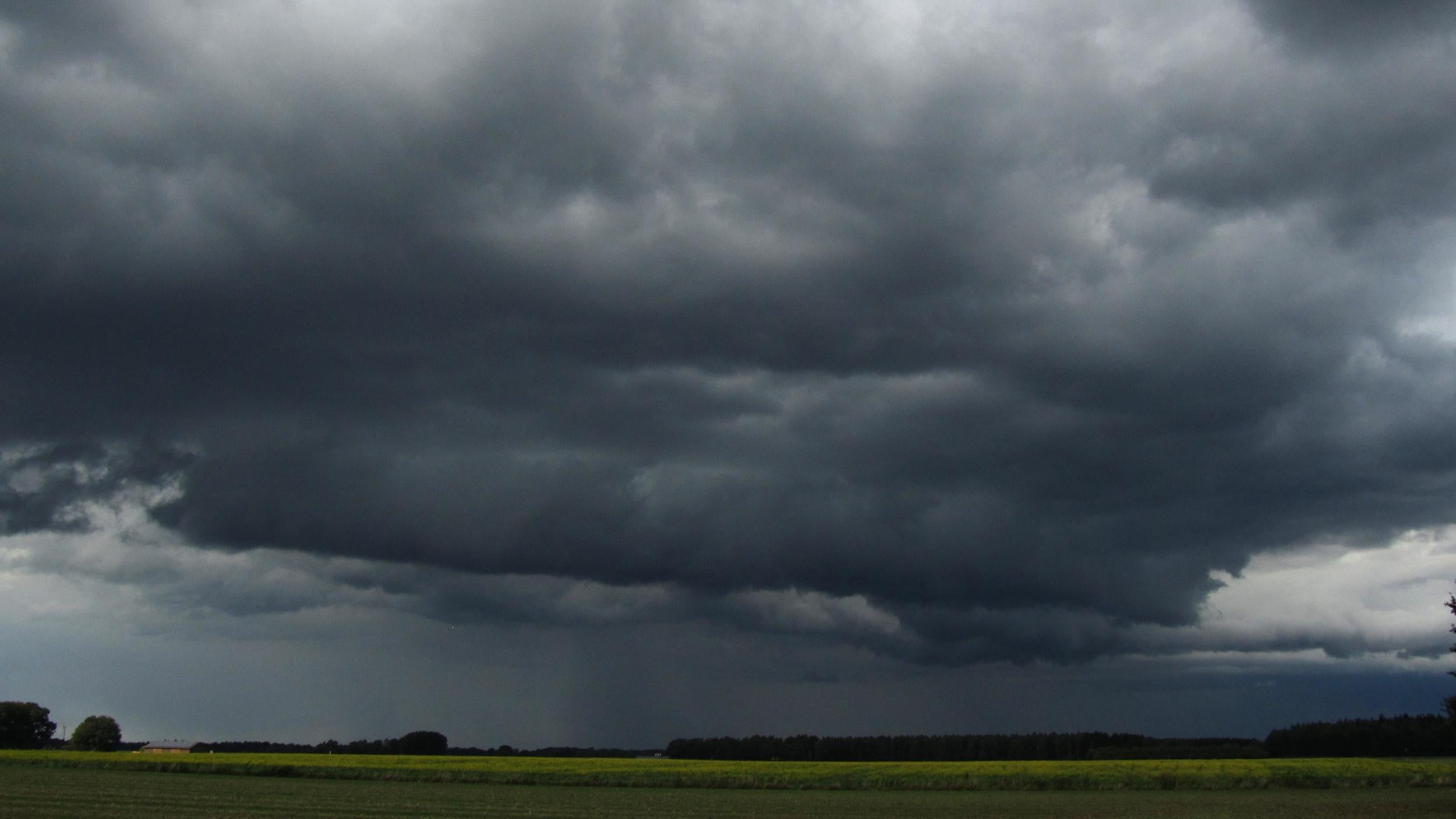
Britain is in for a “shock to the system” with the first named storm of the season set to hit the UK on Saturday night, bringing heavy rain and “damaging” winds.
Storm Angus is forecast to mainly affect the south-west of England during the evening, then travel east and north during the night. Winds were expected to be around 45-55mph but could reach up to 80mph in some coastal areas.
Greg Dewherst, Met Office forecaster, told The Independent: “So far it’s been quite dry and mild this autumn, but we’re going to be in for a shock to the system now.
“Storm Angus is likely to come in through this evening and overnight tonight initially across south-west England and then push east across the east and south-east of the UK tonight and then up into East Anglia and Lancashire by the end of the night.
“We’re likely to see some heavy rains and strong winds associated with Storm Angus as it pushes through. As a result we do have various yellow and amber [severe weather] warnings in force, mainly in the area stretching from Dorset up into East Anglia."
The Met Office has issued an amber warning – meaning "be prepared" – for coastal areas from the Isle of Wight eastwards, including Kent and Sussex, which are expected to see gusts reaching up to 80mph.
Meanwhile yellow warnings for rain and wind have been issued in the area between Dorset and East Anglia until 3pm on Sunday, indicating that people should "be aware" of the potential risks, with wind gusts expected to reach 45-55mph in these regions.
Mr Dewherst added: “We have an amber warning valid from 2am to 11am [on Sunday] affecting the coastal districts from the Isle of Wight eastwards where we could see damaging wind gusts.
"Rainfall won't be huge, generally at around 20-30 milimetres, but because leaves are still coming off trees at this time of year it means strong winds are likely to blow them off, which could lead to some localised flooding issues.
"The benefit is that the storm is largely happening overnight so most people will be in their homes, although that doesn’t lower the impact it might see."
Storms are officially named when forecasters decided to issue amber warnings in order to highlight the potential dangers.
Storm Abigail, the first storm to be named in November last year, hit parts of Scotland and left 20,000 properties in the country without power at its peak.
Join our commenting forum
Join thought-provoking conversations, follow other Independent readers and see their replies
Comments