Antarctic ice shelves melted at speeds of 50 metres a day at end of last Ice Age, scientists warn
‘We now know that the ice is capable of retreating at speeds far higher than what we see today’
At the end of the last Ice Age, ice shelves surrounding Antarctica’s coastline retreated at speeds of up to 50 metres a day — much faster than any observed rates today, polar scientists have discovered.
The study, led by the Scott Polar Research Institute at the University of Cambridge, used patterns of delicate wave-like ridges on the Antarctic seafloor to calculate how quickly the ice retreated roughly 12,000 years ago during regional deglaciation.
The ridges were produced where the ice sheet began to float, and were caused by the ice squeezing the sediment on the seafloor as it moved up and down with the movement of the tides.
The work reveals that at its fastest, the ice melt during this period of deglaciation was 10 times faster than the maximum observed rate over the last few decades.
“By examining the past footprint of the ice sheet and looking at sets of ridges on the seafloor, we were able to obtain new evidence on maximum past ice retreat rates, which are very much faster than those observed in even the most sensitive parts of Antarctica today,” said lead author of the research, Professor Julian Dowdeswell, Director of the Scott Polar Research Institute.
The study was carried out as part of the Weddell Sea Expedition, which set out in early 2019 to undertake a science programme to find Sir Ernest Shackleton’s doomed ship Endurance.
Shackleton’s ship became frozen in pack ice during his 1914-15 expedition to the Antarctic and due to the treacherous conditions, has never been pinpointed or seen since it went down over a hundred years ago.
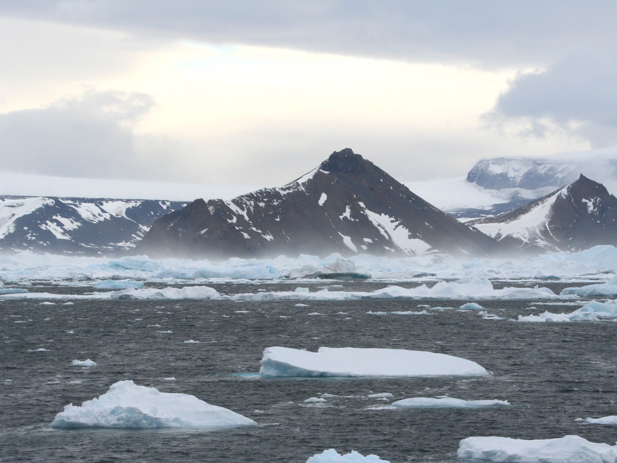
Although sea ice conditions during the 2019 trip prevented the team from acquiring imagery of the legendary wreck, they were able to continue with their scientific work, including mapping of the seafloor close to the Larsen Ice Shelf, east of the Antarctic Peninsula.
Using drones, satellites and AUVs (autonomous unmanned vehicles), the researchers were able to study ice conditions in the Weddell Sea in unprecedented detail.
The team examined the shape and extent of the enormous ice shelves, which skirt about 75 per cent of the Antarctic coastline, where they act as a buttress against ice flow from glaciers inland.
But due to the climate crisis, warming water and air temperatures mean these buttresses are weakening in some parts of Antarctica.
This was witnessed most dramatically at the Larsen A and B ice shelves, which collapsed rapidly in 1998 and 2002, when roughly 1250 square miles of ice fragmented and collapsed in little over a month.
These huge ice shelves are thinning because relatively warm water currents are eating away at them from below, but they’re also melting from the top as summer air temperatures rise.
Both these effects thin and weaken the ice shelves and, as they do, the glaciers they are holding back are now flowing faster to the sea.
“By examining landforms on the seafloor, we were able to make determinations about how the ice behaved in the past,” said Professor Dowdeswell, who was chief scientist on the Weddell Sea Expedition.
“We knew these features were there, but we’ve never been able to examine them in such great detail before.”
Using the AUVs the team identified a series of “delicate wave-like ridges” on the seafloor, each only about one metre high and spaced 20 to 25 metres apart, dating to the end of the last great deglaciation of the Antarctic continental shelf, roughly 12,000 years ago.
The scientists have interpreted these ridges as being caused by what was formerly the grounding line — the place where a grounded ice sheet would begin to lift off the seabed as an ice shelf.
They believe the small ridges were caused by the ice moving up and down with the tides, squeezing the sediment into well-preserved geological patterns, looking a little like the rungs of a ladder, as the ice retreated.
With a standard 12-hour cycle between high and low tide, and measuring the distance between the ridges, the researchers were then able to determine how fast the ice was retreating at the end of the last Ice Age.
They calculated the ice was retreating as much as 40 to 50 metres per day during this period, a rate that equates to more than 10 kilometres (6.2 miles) per year.
In comparison, modern satellite images show even the fastest-retreating grounding lines in Antarctica today, for example in Pine Island Bay, are much slower than these geological observations, at only about 1.6 kilometres (1 mile) per year.
“The deep marine environment is actually quite quiet offshore of Antarctica, allowing features such as these to be well-preserved through time on the seafloor,” said Professor Dowdeswell.
“We now know that the ice is capable of retreating at speeds far higher than what we see today. Should climate change continue to weaken the ice shelves in the coming decades, we could see similar rates of retreat, with profound implications for global sea level rise.”
The research is published in the journal Science.
Join our commenting forum
Join thought-provoking conversations, follow other Independent readers and see their replies
Comments
Bookmark popover
Removed from bookmarks