London flood risk: Map shows areas of the capital most in danger
Hammersmith and Fulham was found to be the borough most at risk

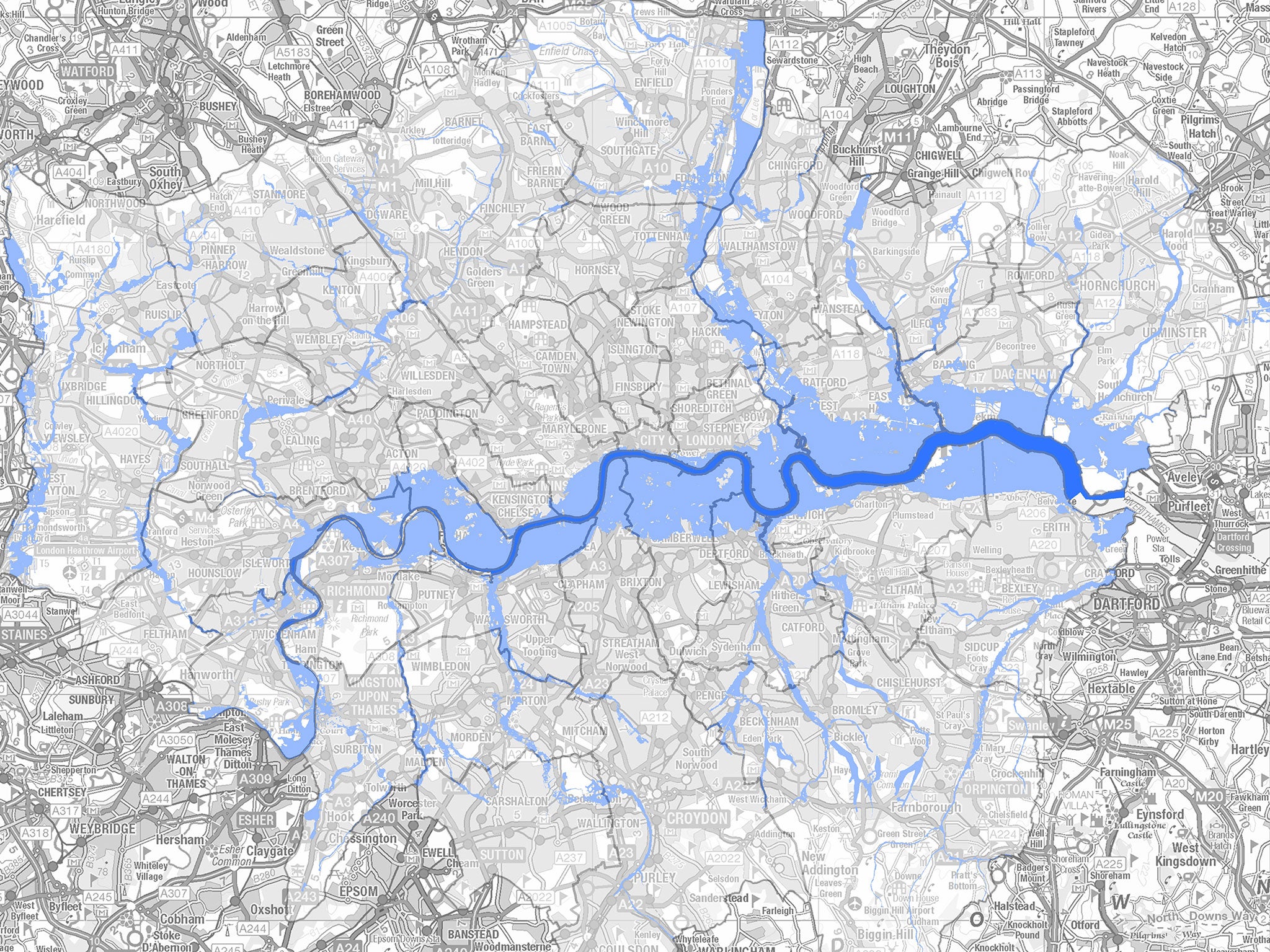
More than 300,000 homes in London are at risk of flooding from the Thames and the capital’s numerous other rivers, according to a new report.
Groundsure, an environmental risk consultancy, used Environment Agency and census data to calculate the places most in danger of damage.
Hammersmith and Fulham was found to be the worst borough for potential flooding, with almost 60,000 homes – 60 per cent of the borough – at risk.

Parts of other boroughs north of the Thames were also found to be in danger, including Newham, Tower Hamlets and Barking and Dagenham.
Along the south bank of the river, Southwark, Greenwich, Richmond upon Thames, Wandsworth, Bexley and Lewisham were deemed to have the highest percentage of properties at risk.
Dan Montagnani, the managing director at Groundsure urged anyone buying a home to consider the history of flooding in the area, from groundwater and sewers as well as rivers.
“We all remember the human stories from flooding that everybody wants to avoid,” he said. “Insurance is essential but it can’t replace those precious photos or months of disruption while your home dries out.”
The Government’s new “Flood Re” agreement with the insurance industry is coming into effect of 1 April to give homeowners in at-risk areas the opportunity to protect their properties.
It will cap annual premiums for an estimated 350,000 households to make insurance affordable and compensation for flood damage will come from a central pool of money.
But several types of buildings are excluded from the scheme, including anything built after 2009, leasehold properties, commercial premises and B&Bs, Groundsure said.

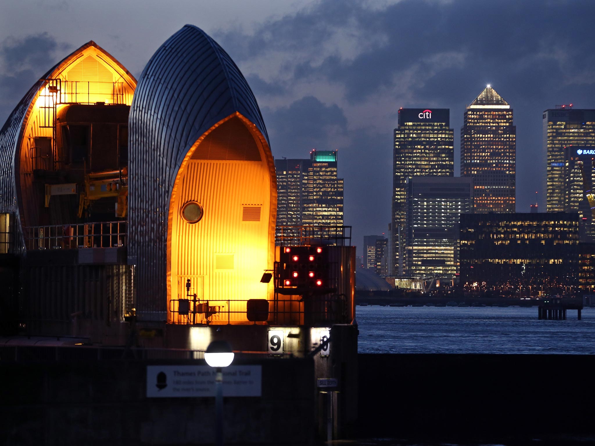
The Thames Barrier was constructed to protect London in the 1980s – three decades after more than 300 people were killed by the North Sea flood of 1953.
It stops high tides and storm surges moving in from the sea and can also ease fluvial flooding from upstream during periods of heavy rain.
Last year set a record for the number of times the barrier was shut at 48 times, compared to just four in 2013.
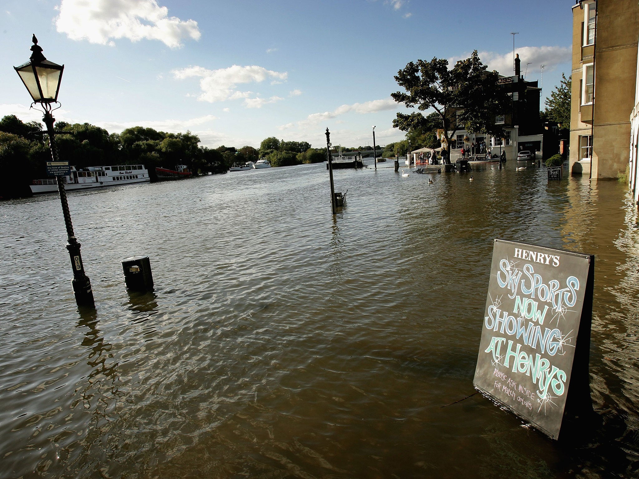
It failed to stop homes along the Thames being submerged in January 2014 after months of severe winter storms across the country, leaving residents in Twickenham wading to work.
Join our commenting forum
Join thought-provoking conversations, follow other Independent readers and see their replies
Comments
Bookmark popover
Removed from bookmarks