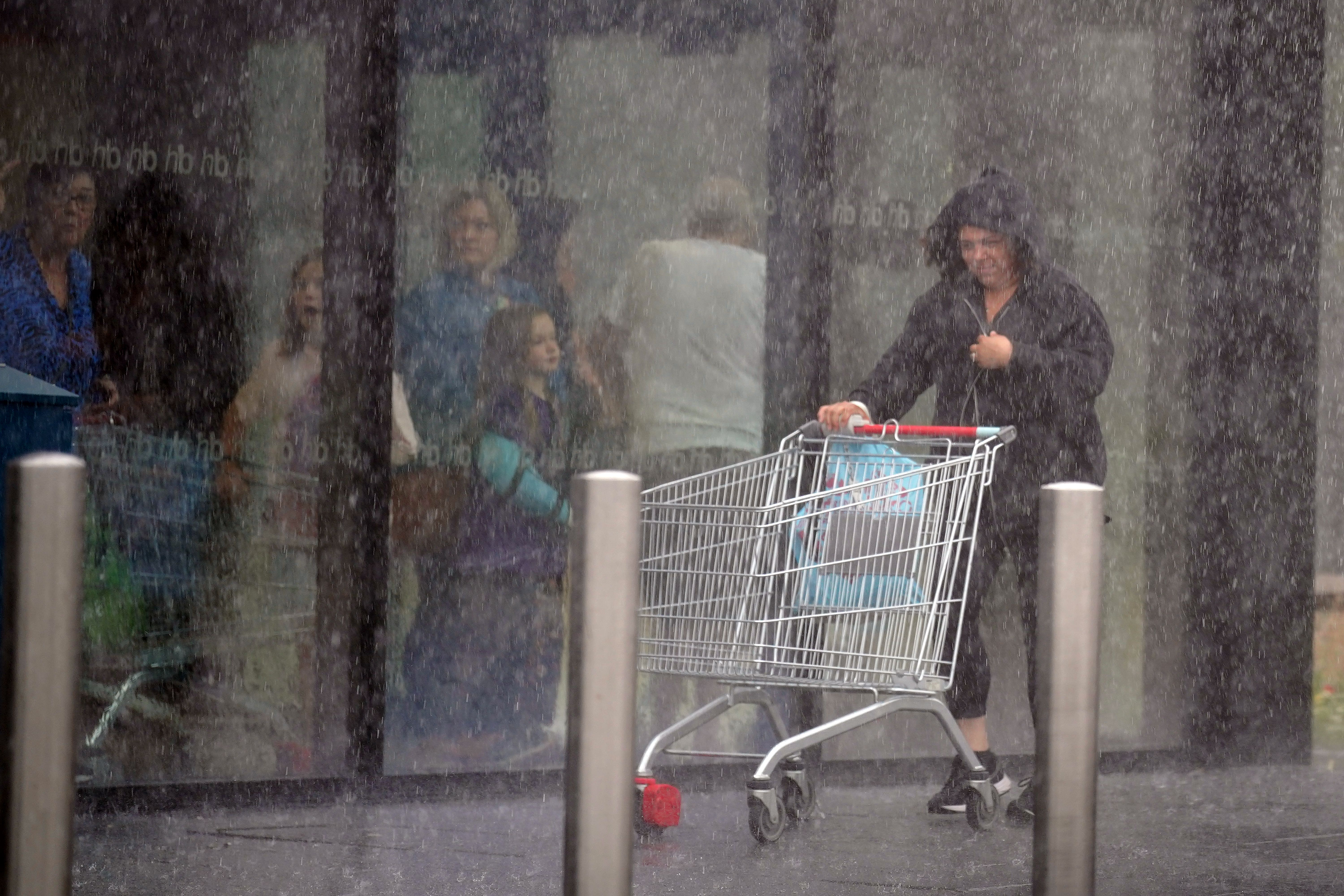
Wetter, cooler and no heatwave: How July 2023 in the UK compares with 2022
The position of the jet stream has ensured the UK has avoided a repeat of last year’s extreme heat.

The weather in the UK this month is proving to be very different from that of July 2022, with no sign – as yet – of any record-breaking temperatures or long, dry heatwaves.
At this point last year the Met Office had just issued its first ever red warning for extreme heat, prompting railway lines to close, airports to cancel flights and councils to spread sand on roads to stop the surface melting.
Temperatures hit 38.1C at Santon Downham in Suffolk on July 18, then rose even further to peak at a record 40.3C in Coningsby in Lincolnshire on July 19 – the first time 40C had been exceeded in the UK.
This month has been cooler, with the highest temperature so far being 30.2C at Chertsey in Surrey on July 7.
The average daily mean temperature in central England has been lower this year than last on 11 of the 16 days between July 1 and 16, while the average maximum temperature has been lower on 12 out of 16 days, Met Office figures show.
There is also a sharp difference in rainfall levels.
The first half of July 2022 was very dry, with average daily rainfall in England and Wales between July 1 and 16 peaking at just 2.62mm on July 1, and zero average rain recorded on July 7 and July 9-11.
By contrast, July 2023 has seen several examples of high rainfall in England and Wales, including an average of 10.01mm on July 4 and 13.61mm on July 14, while there have been no zero average days so far.
It is a similar picture in Scotland, where daily rainfall in the first half of July 2022 rarely climbed above 2mm (0.08in), while this year it has dropped below 2mm only three times, reaching 16.30mm on July 14 and 16.32mm on July 10.
In Northern Ireland, average daily rainfall hit 22.84mm on July 14 – well above the 4.81mm peak in the first half of July 2022.
The main reason the UK has avoided a repeat of the extreme temperatures of July 2022 – as well as the ferocious heat currently affecting southern Europe – is the position of the jet stream, the fast-flowing current of air that blows from west to east above the Earth’s surface.
For much of July last year, the jet stream was stuck to the north of the UK, keeping away low pressure systems while trapping high pressure areas above the country, causing very high temperatures and long periods of dry conditions.
This was also the situation last month, which led to it being the warmest June on record.
But since the end of June 2023 the jet stream has shifted southwards and is currently sitting directly over the UK, resulting in unsettled conditions including showers.
The jet stream is forecast to remain in this position for the next few days, bringing more low pressure areas to the UK, according to the Met Office.
Bookmark popover
Removed from bookmarks