UK Easter weather: Britons to bask in 22C heat as country will be ‘hotter than Ibiza’
Temperatures could push into low 20Cs in southeast England, says Met Office
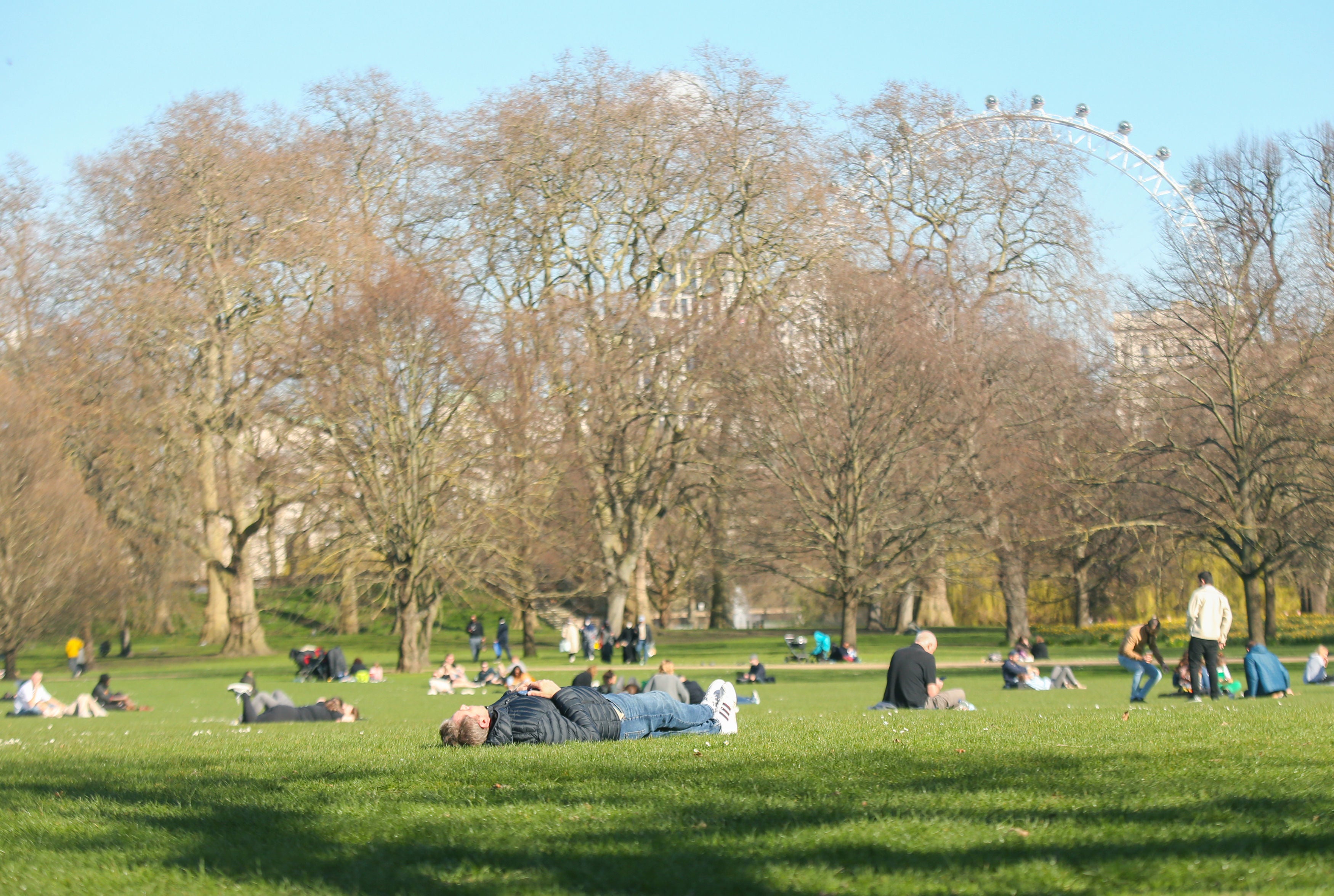
The UK looks set to bask in 22C heat this Easter weekend, with the country set to be hotter than Ibiza and Greece.
The spring time sunshine is thanks to a southerly airflow bringing warmer weather up from France.
In the south of England in particular, temperatures will become increasingly pleasant from Wednesday onwards. On Thursday and Friday, it is likely to be dry for most, with some sunshine as temperatures continue to climb.
It’s another dramatic turnaround for British weather, following a spell of freezing weather in the last week or so brought on by Arctic air.
Forecasters have said that temperatures are expected to be above average for the time of year.
From Wednesday to Sunday, the Met Office predicts highs of 18C-19C across the southeast, but added that temperatures could push into the low 20Cs.
Meanwhile in Ibiza, temperatures are set to rise to only 16C and in Greece to stay around the 17C mark.
Despite the promise of balmy temperatures later on into the week, something of a northwest/southeast split will develop as the week goes on, but Met officials are currently uncertain over where the divide will settle.
A wetter start to the Easter week is expected in the southwest, set to clear northwards across England and Wales later. Come Tuesday, a cloudy day is in store for many, which could bring with it some heavy showers and thunder by the afternoon.
The rain is then expected to clear to northeast Scotland on Wednesday. Although a few showers are likely elsewhere too, the weather is predicted to turn dry and become generally much more settled.
Showers will be more likely in the north and west, where temperatures will be around average for the time of year.
Dan Rudman, deputy chief meteorologist for the Met Office, said: “It’s bit of a mixed picture as far as weather is concerned over the long Easter weekend, although feeling warm in places, at least early in the weekend.
“A low pressure system to the north west of the UK will bring unsettled weather to the north with some strong winds likely and rain in the north west, which could impact driving conditions for some.
“However, further south it will be drier, especially in the southeast, although there will be varying amounts of cloud. Temperature are likely to be above average for the time of year, although low cloud might keep temperatures lower in coastal areas.”
The warm temperatures are “coming up from the Sahara”, said BBC meteorologist Louise Lear.
“It’s going to be pushing its way steadily up north with the exception perhaps of the Northern isles”
She added: “It looks like Wednesday will be the warmest day of the week with 19C or 20C not out of the question and a great deal of dry weather as we head towards the Easter weekend.”
MET OFFICE OUTLOOK
Today:
Largely dry and bright with spells of hazy sunshine. Cloud building across southwestern parts this afternoon may be thick enough to produce patchy light rain. Breezy, with winds easing from the west later. Maximum temperature 17 °C.
Tonight:
A dry but increasingly cloudy evening. An area of rain, perhaps heavy, will arrive in the south around midnight and push northwards. Winds easing away from eastern coasts. Minimum temperature 8 °C.
Tuesday:
Rain soon clearing Tuesday morning, then brighter for a while. Scattered showers developing, at times merging to give longer spells of rain. Perhaps with the odd rumble of thunder. Maximum temperature 16 °C.
Outlook for Wednesday to Friday:
Increasingly warm. Sunny spells Wednesday interspersed with cloudier periods and scattered showers. Thursday and Friday largely dry and bright. Morning mist and fog patches likely, slower to clear around coasts.
Join our commenting forum
Join thought-provoking conversations, follow other Independent readers and see their replies
Comments
Bookmark popover
Removed from bookmarks