Nearly two million acres of British grassland lost to urban development and woods in 25 years, analysis shows
Figure equates to an area greater than the size of Suffolk and Sussex combined, say ecologists
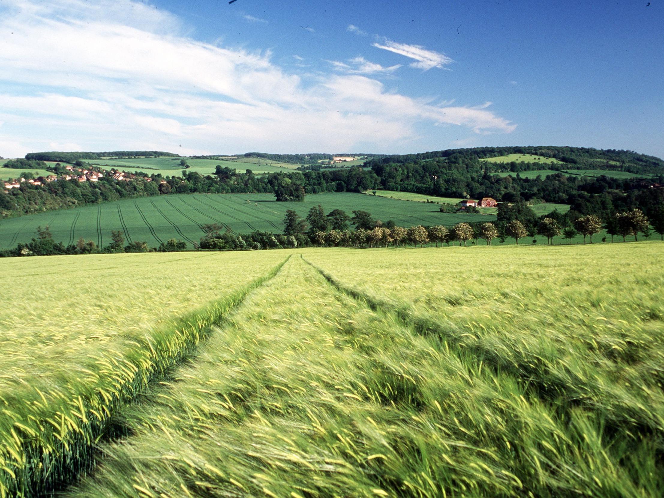
Almost 2 million acres of grassland have been lost to urban development and new woods across Britain in the past 25 years, satellite analysis shows.
The UK Centre of Ecology and Hydrology (UKCEH) has used high-resolution data from satellites to assess how land use has changed in Britain between 1990 and 2015.
It found there was an overall reduction in all types of grassland, both farm pasture and recreational use such as playing fields, with 7,668 sq km (1.9 million acres) lost in the quarter of a century analysed.
That is an area greater than the size of Suffolk and Sussex combined, UKCEH said.
At the same time there was an increase of 3,376 sq km (more than 830,000 acres) in urban development – an area almost the size of Cornwall.
And an extra 5,236 sq km (1.3 million acres) was planted with woodland.
The analysis shows that grassland lost in England was mostly sacrificed to urban development, while in Scotland there was a huge expansion in woodland at the expense of grassland and arable fields.
Separate data from Forest Research shows the majority of Scotland's woodland is conifer plantations.
In Wales, the picture was more balanced, with a similar increase in urban and woodland cover, UKCEH said.
Across Britain overall, an area of grassland around the size of Dorset (2,505 sq km) and arable farmland almost the size of Bedfordshire (1,121 sq km), were built on with houses, roads and other infrastructure.
The biggest increase in urban sprawl was in Kent, which saw an increase of 136 sq km (33,600 acres) of built-up land from 1990 to 2015, followed by Essex (113 sq km) and West Yorkshire (110 sq km).
The data also shows that 782 sq km (190,000 acres) of arable land for crops was lost over 25 years across Britain, mostly in Scotland.
In England, there was a significant reduction in land for farming crops in East Anglia, but increases in arable land elsewhere in the country.
Dr Clare Rowland of UKCEH, who led the analytical study, said: “Thanks to sophisticated data analysis of high-quality satellite images, we have been able to produce the most reliable picture to date of the changes across the British landscape in recent years.
“Our data show the scale of grassland loss in Great Britain not only to make way for urban development but also woodland expansion.
“This information on how land cover in Great Britain has altered is crucial for understanding the impact of these changes on our environment, and helping us plan for the next 25 years.”
Better quality data and more advanced computer analysis is allowing UKCEH to produce state-of-the-art digital maps annually, with UK land cover maps for 2017, 2018 and 2019 now released.
Dr Daniel Morton, who developed the software for the new UKCEH land cover maps, said: “Producing land cover maps annually will enable the tracking of the UK's progress towards the net zero emissions target by 2050 and the success of national tree planting initiatives, as well as give us greater ability to monitor vegetation responses to climate and land use changes plus extreme weather events.”
Press Association
Join our commenting forum
Join thought-provoking conversations, follow other Independent readers and see their replies
Comments
Bookmark popover
Removed from bookmarks