UK weather: Britain could face snow, blizzards and sub-zero temperatures after mild November
A 'major change of weather' will take place this weekend
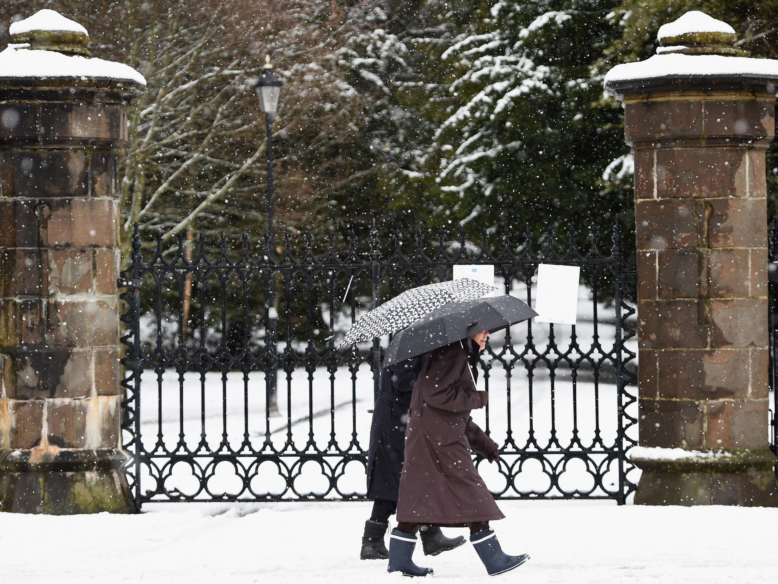
Parts of Britain may experience snow, severe gales and even blizzard conditions over the weekend, forecasters have confirmed.
The Met Office have issued a “yellow warning”, mainly affecting northern areas, alerting people to a "major change of weather".
Higher ground in the north of the country could see between five and 10cm of snow on Friday, as well as severe gales, with gusts of up to 60mph creating blizzard conditions.
Ice, widespread frost and overnight sub-zero temperatures are also expected.
Other areas of the UK, especially the east, could see some snow showers and strong winds. The capital may also see a smattering of snow on Sunday.
Some reports have predicted “eight inches of snow” over the weekend, however a Met Office spokeswoman has said the UK is more likely to see a “down turn” in temperatures and up to 10cm of snow in high areas.
A Met Office spokeswoman told The Independent: “At the moment we have been seeing temperatures in the teens and so we will see a major change with day-time temperatures dropping to between four and eight degrees.
"A yellow snow warning has been issued, mainly affecting Scotland and the north east, however other parts of the country, including Northen Ireland and eastern England, have also been issued wind warnings and this may include snow."
Met Office forecasters have said the dramatic change in the weather is due to an arctic maritime airmass spreading across the country, in contrast to the start of November, which was the second mildest on record.
The Met Office said: “On Friday the cold air will begin to spread southwards with showers falling as snow over high ground in the north and increasingly to lower levels here later.”
“In a stark contrast to recent days when temperatures have been well above average for the time of year, we can expect temperatures to be below average with maximum daytime values of around 3-7 degrees Celsius. Overnight minimum temperatures are likely to drop below freezing away from coasts, to give a widespread frost, with the risk of some icy patches where showers have fallen during the day.”
People are warned to prepare for difficult driving conditions and some travel disruption.
Join our commenting forum
Join thought-provoking conversations, follow other Independent readers and see their replies
Comments
Bookmark popover
Removed from bookmarks