Satellites, AI and 800 cameras: Inside the race to understand - and stop - wildfires before they happen
Wildfires are only getting more dangerous yet technology has been slow to keep up with the threat - until now, writes Josh Marcus in San Francisco

For many who live in the western United States, wildfires are a haunting presence. An ecological inevitability made increasingly unlivable by the climate crisis. It’s impossible to ignore them.
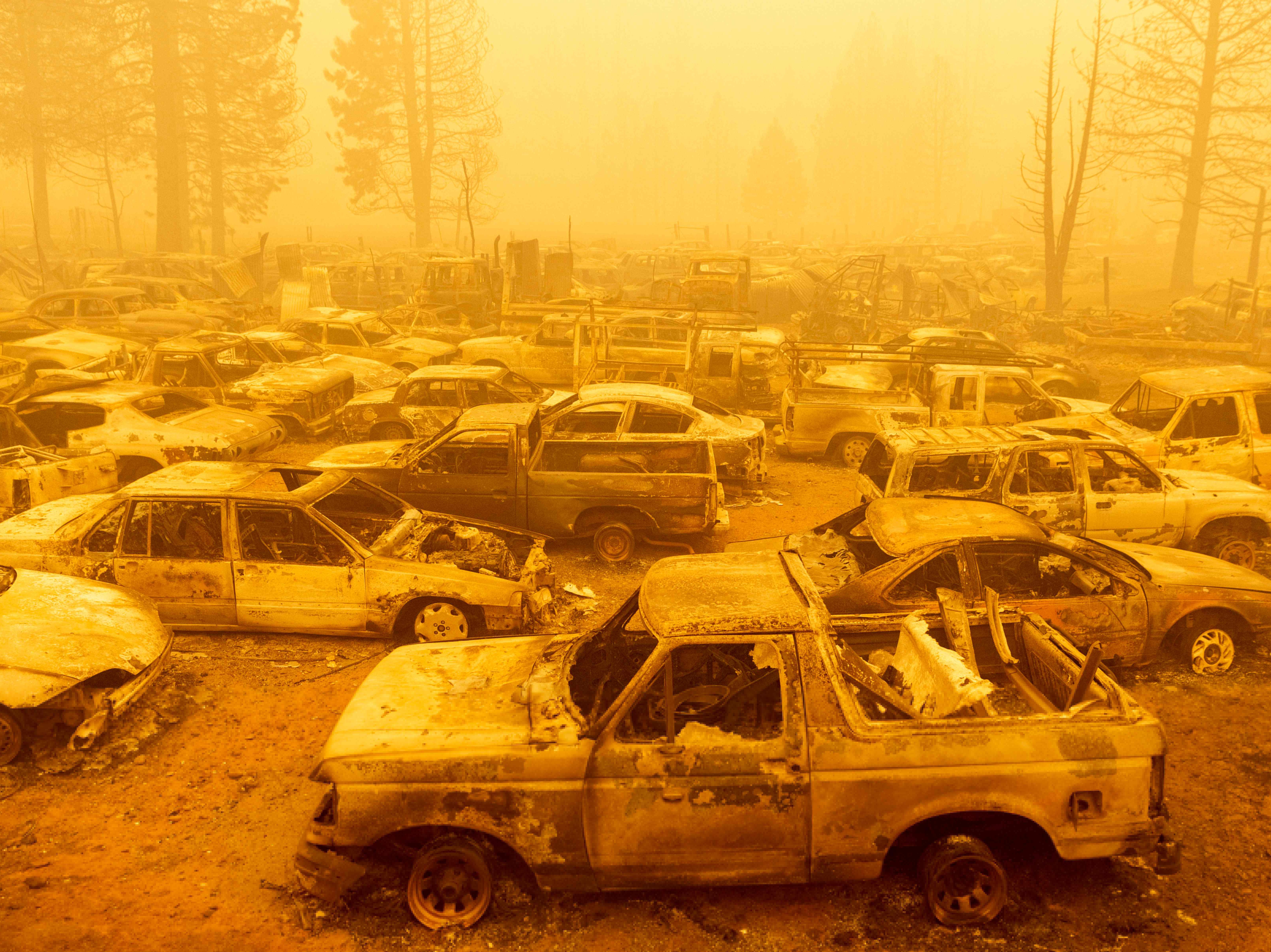
Each summer, weather reports are monitored, fire cams are watched, and smoke blots out the sun. Each year brings new records – five of the biggest seven fires in California’s history started in 2020 or 2021 – and hushed conversations are being had about relocating elsewhere before things worsen, for those fortunate enough to have a choice.
The threat of wildfire is growing yearly, but the science of predicting and responding to blazes isn’t. Officials at times rely on decades-old models, sporadic reconnaissance flights, and anecdotal observations to respond to fires that can decimate whole communities. The ongoing Dixie Fire in California has been burning since 13 July, and consumed 500,000 acres, making it the second-largest in state history.
Now, a group of firefighters, scientists, and technology experts aim to bring firefighting into the 21st century using sophisticated satellite imagery, networked surveillance cameras, artificial intelligence, and next-generation helicopters.
The goal is to give tens of thousands of firefighters the right support to handle increasing wildfire threats. As the recent IPCC climate report confirms, they’ll need all the help they can get.
A top priority is getting better eyes on the fire before deciding what to do next. Reposition fire crews? Evacuate townspeople? Weather, topography, vegetation, community and infrastructure planning all affect what a fire does, so understanding its nature is fundamental.
One team tackling this problem is the federal Pacific Northwest National Laboratory (PNNL), which has created the Rapid Analytics for Disaster Response system (RADR). It uses cloud computing and AI to create detailed maps of where fires are concentrated, where they’re going, and what vital infrastructure they will threaten.
According to Andre Coleman, the lead scientist on the project, the open-source system delivers more detailed intelligence than was possible with older methods which often involved manned flights above fires and hand-drawn fire maps, or long waits for satellite images to be rendered into usable information.
“It’s increasing the number of times we can look at a fire,” he told The Independent. “This is really where the big advantage is, just increasing that time-frequency of once a day.”
What’s more, he says, the climate crisis is making fires more “more dynamic,” and resources are stretched thin. There are currently around 100 large, active wildfires burning across the US, and roughly 22,000 firefighters trying to put them out
“What that means is that your most complex fires, biggest fires, fires that are impacting communities, they’re going to get those resources,” Coleman added. “Lower priority fires aren’t going to get that support. With this system, it’s really agnostic to the complexity of the fire or where the fire is.”
The PNNL group partners with the US forest service, the bureau of land management, and Cal Fire, California’s largest fire agency, and has assisted efforts to fight Oregon’s Bootleg Fire. The group hopes to use its models to forecast what ongoing fires might do next.
“The space in fire forecasting is a bit crude,” Coleman said. “Some of these empirical relationships were things developed in the early 1970s.” Others will use data from earlier in the season, or a previous year, to stand in for information on key factors like underlying plant growth.
Getting the right data, however, is just half of it. Even if PNNL can deliver on its dreams of sending moment-by-moment updates to commanders, firefighters on the ground need a way to turn reams of technical information into action.
Dr Mario Miguel Valero Perez is part of San Jose State University’s Wildfire Interdisciplinary Research Centre. The team there is working on how to better measure fires using detailed infrared images from satellites and airborne flights. This data will be able to make better, automated forecasts about fires.
“Until recently, we didn’t have the ability to measure very much of anything about wildfire behaviour,” Dr Valero Perez told The Independent. “What we knew, we knew it from qualitative observations, firefighters, spotting the fire at a certain point and a certain and saying, ‘Yeah, I saw the fire reaching that slope at that time.’ That’s very sparse and inaccurate information.”
But with a more detailed picture of a fire, he hopes to help authorities, including “the people who analyse the situation and make decisions about where to send crews”, make better decisions on the ground.
“I’m not saying these tools would replace any of these people. It would just help them get a better picture of the situation.”
Of course, even with high-tech observation tools, there comes a time when heavy machinery is required, and Cal Fire says it’s in the process of replacing its fleet of UH-1H Huey helicopters with faster Sikorsky S70i Hawks.
“These aircraft can deliver 1,000 gallons of water, they have an external mounted hoist that can be operated without removing the water dropping capabilities, they can travel farther and faster than the Super Hueys,” a spokesperson told The Independent.
“They are capable of, and will eventually fly night missions. All these features make them a more efficient and effective firefighting tool.”
The state agency is one of the few in the country with dedicated imaging resources and uses a system called Technosylva to model and predict wildfire activity.
Cal Fire also uses another system called AVL (Auto Vehicle Locator), to track the swarms of trucks and tankers sent out to respond to fires and a network of roughly 800 cameras throughout the state monitoring potential flareups.
No matter how sophisticated pictures become, an overarching question still remains: how do we build a society where fires are less common to begin with?
In the short term, prospects look bleak as the climate crisis continues to worsen wildfires and other extreme weather events. It will require making a real dent in the greenhouse gas emissions driving climate change, and curbing global temperature rise.
Join our commenting forum
Join thought-provoking conversations, follow other Independent readers and see their replies
Comments
Bookmark popover
Removed from bookmarks