‘Send in our drones to map Britain’s flood plains and stop the torrents’
"Our surveys could be the difference between a flood and no flood"
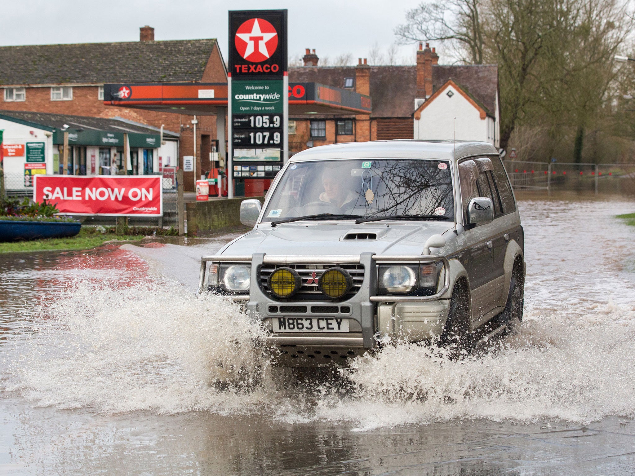
The Government has been urged to consider using drones to help avoid a repeat of the floods fiasco that left thousands homeless over Christmas.
Geocurve, a subsidiary of Strat Aero, which is listed on London’s junior stock market, has written to Rory Stewart at the Department for Environment, Food and Rural Affairs (Defra), urging the floods minister to consider using its drones.
The job of mapping the UK’s flood plains is currently carried out using Light Detection And Ranging (LiDAR), a 3D laser scanning technology deployed from a fixed-wing plane or helicopter. which The Environment Agency has used the technology for the past 18 years.
However, Geocurve, a company thatwhich designs drones fitted with state-of-the-art sensors whichand has already been used by the Environment Agency to map the Norfolk Broads national park, says it could do the job up to 900 per cent more accurately than LiDAR, which relies on historic data for its surveys.
It also claims it could shave as much as £100m a year off the UK’s flood defence budget by mapping the whole of the country in just 12 months.
Mr Stewart has yet to respond to the letter. A spokesperson for Defra said it does not comment on individual offers from companies.
The Government’s National Flood Resilience Review, willto be published in the summer, andwill look at updating theclimate modelling and flood stress-testing methods.
Strat Aero’s chief executive, Tony Dunleavy, told The Independent: “We are proposing a more accurate form of LiDAR surveying.
“An easy way of looking at it is to think of a sea wall that has been built to keep the water out – with the older LiDAR system, the sea wall could be as much as 400mm out of level [height]. But with Strat’s proposal the discrepancy would be less than 100mm.”
He added: “The 300mm difference could be the difference between a flood and no flood.”He said his offer to map the whole of the UK from scratch “presents a new baseline for flood defence data (more up to date and accurate), not relying on old flood defence surveys which were carried out at different times”.Kerry McCarthy, the Shadow Secretary of State for Environment, Food and Rural Affairs, told the Independent: “It is important we make use of new technology and ensure we are using the most up-to-date information in protecting against future flood risk.
“The Government’s response so far to the floods has been piecemeal and panicked. It is important that a coherent long-term strategy is now developed, looking at all options for reducing flood risk and ensuring public money is well spent.”
The Environment Agency, the public body responsible for flood response, came under fire for failures that led to flooding following heavy rainfall in December in the North of England and parts of Scotland.
Its chairman Philip Dilley stood down last month after it emerged he went on holiday to Barbados during the crisis despite claiming he was in the UK, while the Environment Agency also faced criticism for paying directors £300,000 in bonuses last year.
Join our commenting forum
Join thought-provoking conversations, follow other Independent readers and see their replies
Comments