Dust from Sahara turns sky in Spain to ‘Bladerunner’ orange
Extremely poor air quality is being reported in Madrid and coastal towns in the Southeast
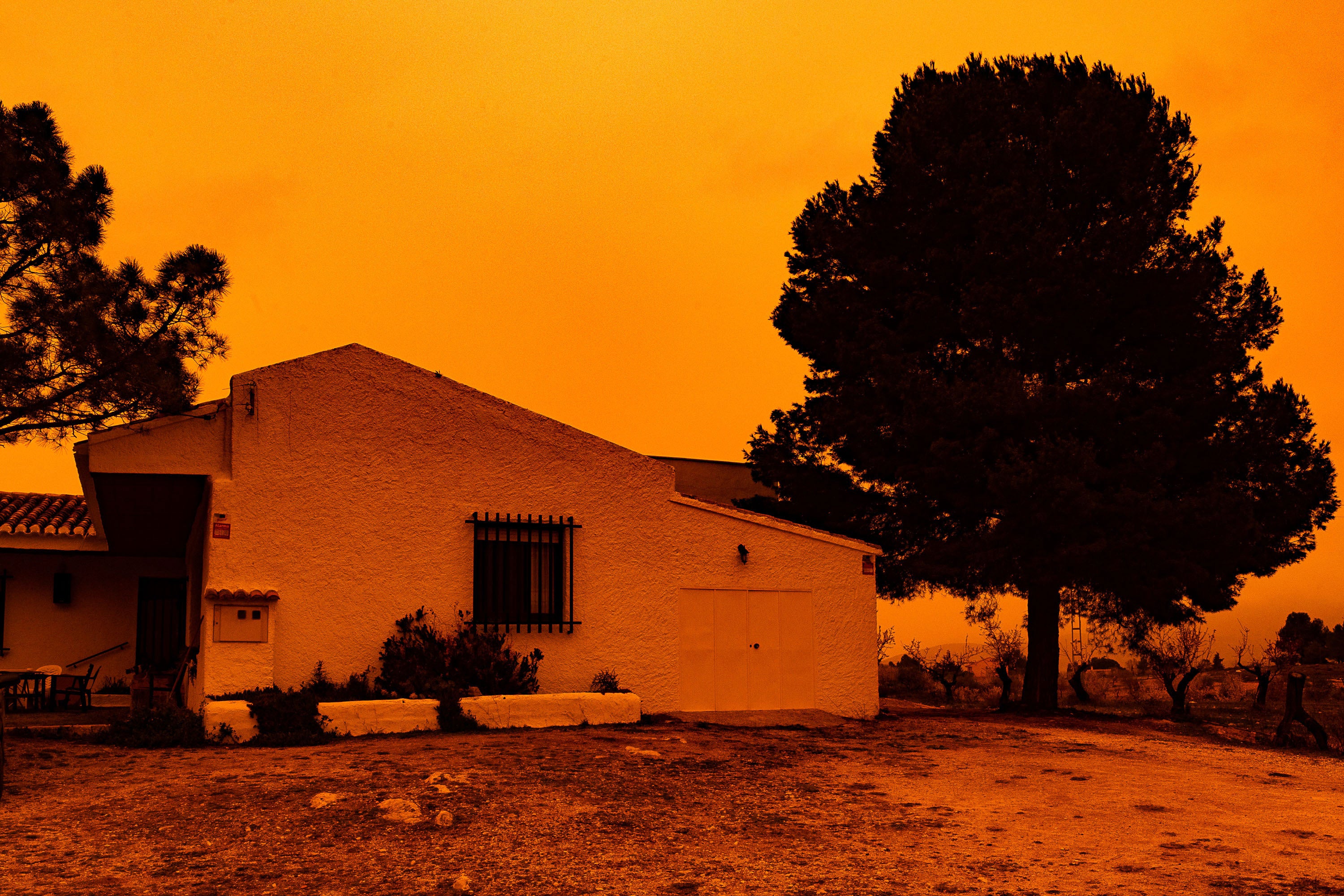
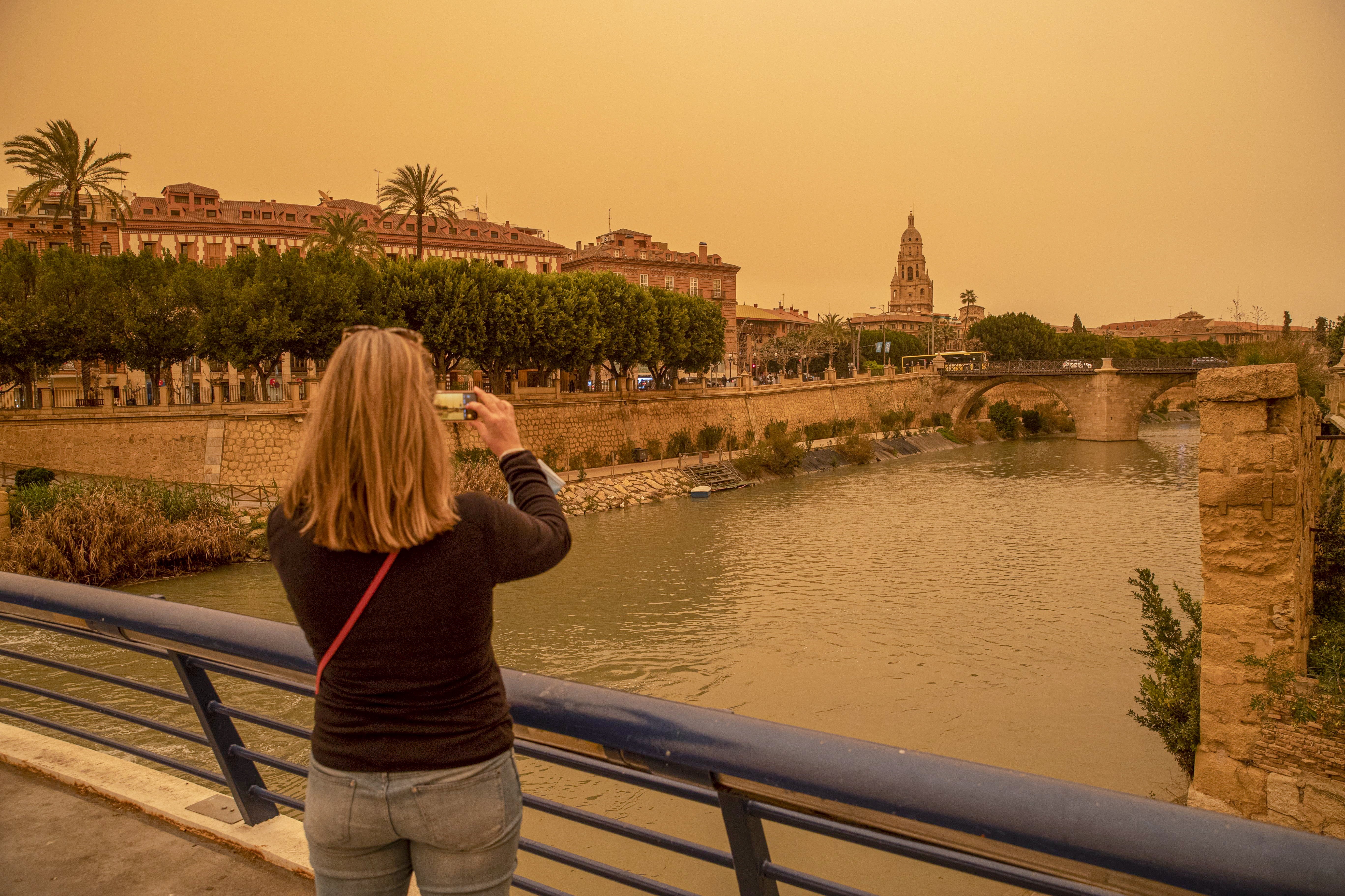
Spain has issued alerts on air quality after a mass of hot air from the Sahara desert led to enormous dust clouds blanketing the country.
The capital Madrid, along with resort towns in the Southeast, are bearing the brunt of the dust being driven in from the Mediterranean, and leaving skies tinged with a “Bladerunner”-like orange.
Areas as far west as the Canary Islands in the Atlantic and the Balearic Islands in the Mediterranean are also being impacted.
BBC weather forecasters warned that the dust clouds could move up into southern parts of England by Wednesday.
The Climatology Laboratory at the University of Alicante posted to Facebook on Tuesday that due to the dust, Spain currently has the most unfavourable air quality globally, surpassing China and India, where smog is typically notoriously bad.
Spain’s public health officials warned citizens to avoid outdoor exercise and use face masks when outside. Those with allergies and respiratory problems are particularly vulnerable to spikes in small-particle air pollution.

Although harmful to human health, the dust clouds bring nutrient-laden minerals from the Sahara, the planet’s largest and hottest desert, to ocean life and vegetation.
Sand and dust storms occur annually when powerful, hot winds, sweep across loose soils on arid land. Last summer, vast clouds were swept by trade winds across the ocean from Mali and Mauritania to the Caribbean and Florida.
In summer 2020, an enormous dust storm was dubbed “Godzilla” after winds swept nearly 24 tons from the Sahara to North and South America. It was so vast that astronauts tweeted photos of the dust cloud from the International Space Station.
After “Godzilla” took off, Nasa used satellite data and computer modeling to study the plumes.


While dust clouds will still vary from year to year, scientists predict that plumes will reach their smallest size in 20,000 years this century due to climate-change driven ocean heating.
This is because sea surface temperatures have a direct impact on wind speeds. If warming occurs in the northern Atlantic Ocean, then trade winds will weaken and can carry less desert dust.
Those weaker winds also means bands of tropical rain can more easily move into desert regions, keeping the sand damp and less likely to be blown away.
Smaller dust clouds are part of a feedback loop that is increasing global heating. Particles in the air have the ability to reflect the sun so with fewer suspended, more sunlight and heat reach ocean water, causing it to get even warmer.
Join our commenting forum
Join thought-provoking conversations, follow other Independent readers and see their replies
Comments
Bookmark popover
Removed from bookmarks