UK weather latest: Britain braced for polar winds and snow as La Niña takes hold
The phenomenon last hit the UK in 2010
The UK is braced for the first snow of winter as temperatures plummet in some parts of the country to -10 degrees Celsius.
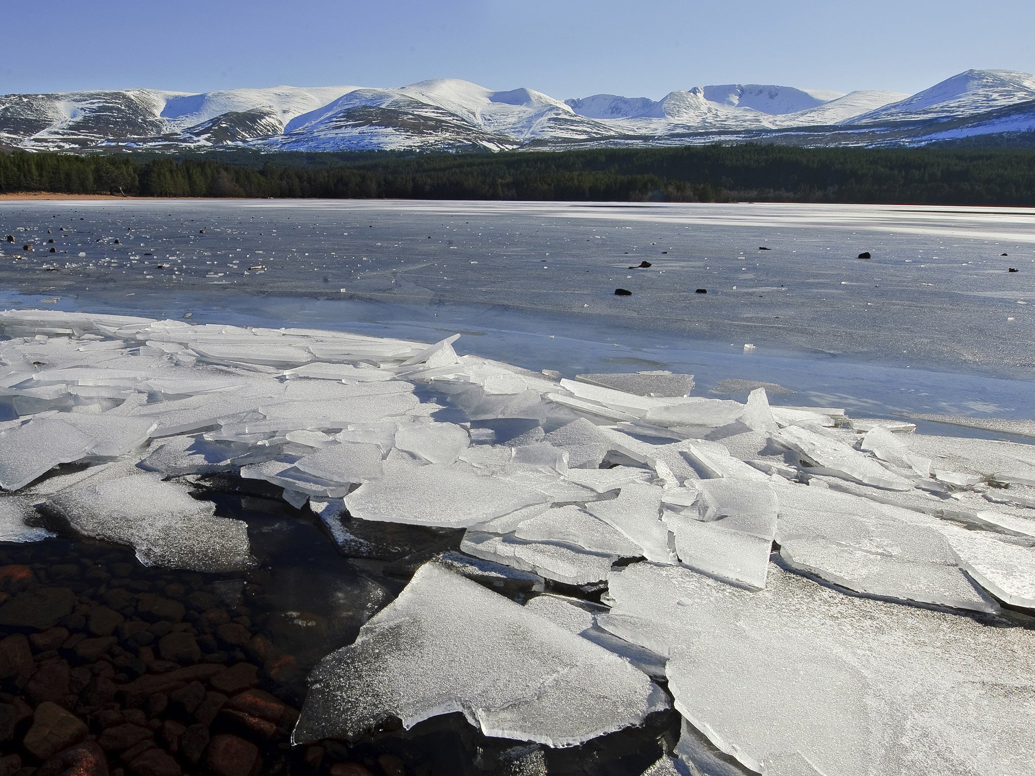
Snow has already hit the Cairngorm mountains in eastern Scotland.
Met Office spokesman Oli Claydon told The Independent: “Through the week there might be a continuation of some wintery weather in the highest ground in the north and there might be wintery showers later this weekend in the very far north at the lower levels, but this isn’t unusual for November.”
Colder weather and snow is set to last longer this year due to the La Nina weather phenomenon, as reported by The Sun.
Meteorologists at AccuWeather predict that below-average temperatures across England and Wales could lead to the coldest February in several years.
The La Nina phenomenon last hit the UK in 2010, when much of the country was covered with heavy snowfall. Since 2010, the UK as a whole has not seen a winter with temperatures averaging more than a degree below normal.
According to AccuWeather Meteorologist Tyler Roys, snow and ice is expected in London on between three and seven days this winter, most likely in February.
So far this autumn, Guy Fawkes Night was the coldest night at minus 6 degrees in Aberdeenshire.
The cloudless sky overnight failed to insulate the land, letting heat escape and leading to widespread frost, the Met Office said. In the same area last year temperatures fell to minus 12.1C.
Mr Claydon said most of the UK will be bright and chilly for the west of the week, with highs of around 10 to 12 degrees.
Rain and wind will move slowly south east, pulling cooler air along with it and causing potentially frosty conditions, he said.
The Met tends to make forecasts for 30 days, and said it was too early to confidently predict snow past mid-December or next year.
Join our commenting forum
Join thought-provoking conversations, follow other Independent readers and see their replies
Comments
Bookmark popover
Removed from bookmarks