Arctic cold snap intensifies with more sleet and snow expected
The weather could cut off rural communities in the north and impact travel over the next few days across southern England and south Wales.
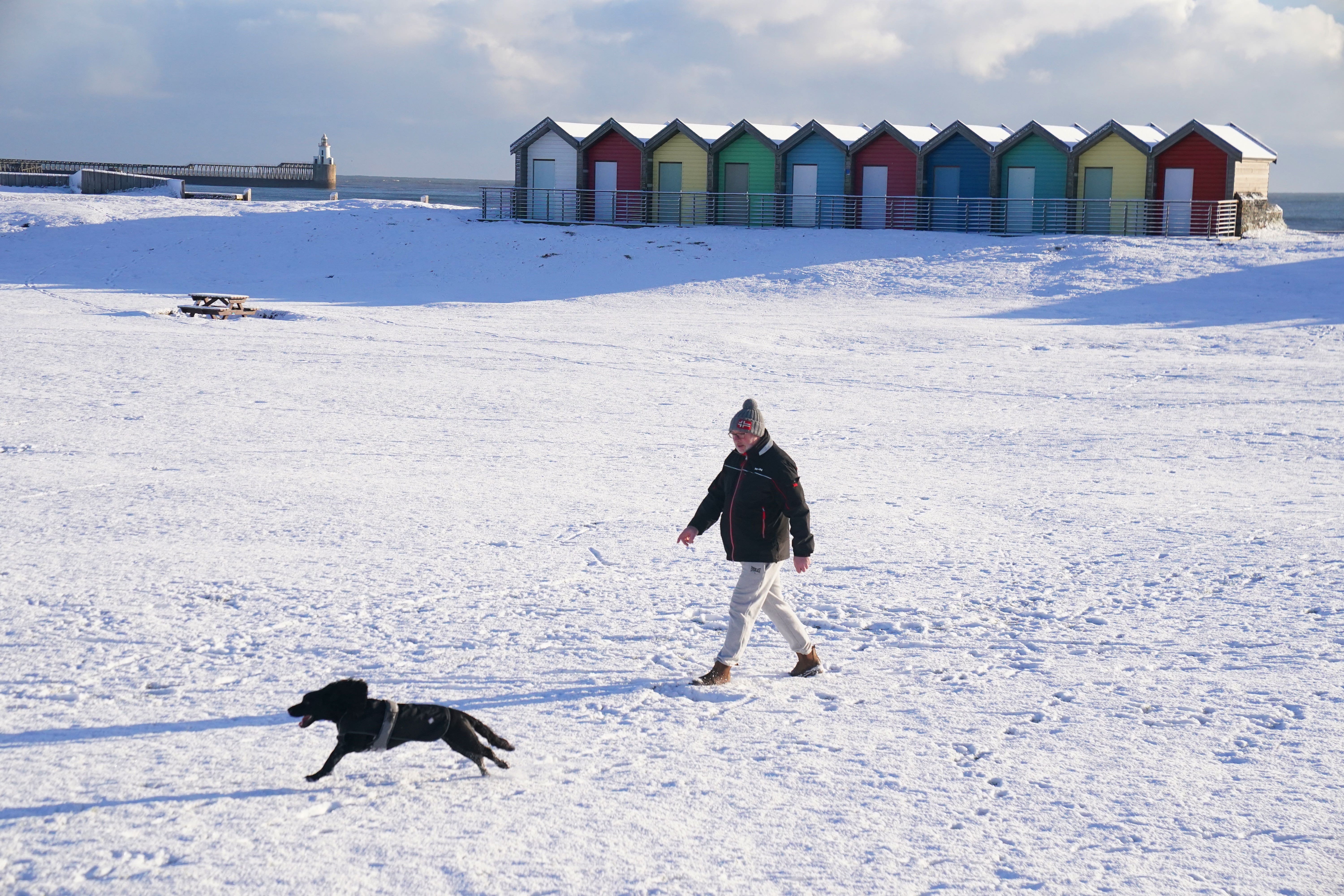
More sleet and snow is expected across southern England and south Wales on Wednesday while scattered snow and hail showers will impact Scotland’s northern coasts as the Arctic blast intensifies.
The Met Office’s early morning radar showed an area of rain moving in from the south and west which was starting to turn increasingly to sleet and snow as it pushed north and east.
The conditions, which have been attributed to an Arctic blast, are expected to bring more snow and ice throughout the UK, the Met Office said.
The forecasting body’s chief meteorologist, Matthew Lehnert, said the weather could cut off rural communities in the north and impact travel over the next few days across southern England and south Wales.
A number of national severe warnings for snow and ice were issued, with the Met Office saying further warnings, or updates to the current warnings, are “very likely”.
Mr Lehnert said: “Snow, ice and low temperatures are the main themes of this week’s forecast, with the UK under an Arctic maritime air mass.
“Snow could lead to some travel disruption, with a chance some rural communities in the north could be cut off.
“The focus for the snow moves to southern England and South Wales tomorrow and some may wake up to a few centimetres of snow, with the south coast and far south-west likely to see a mix of rain and sleet. Further snow and hail showers are also expected along northern coasts, especially in northern Scotland.”
He added: “During the afternoon, a further spell of sleet and snow is likely to develop across southern England and South Wales which could cause travel disruption into the evening. The impact of lying snow and ice on untreated surfaces may have an impact on Thursday morning travel.”
Dale Hipkiss, national network manager at National Highways, urged people to pack extra provisions in vehicles in case they become stranded.
“Keeping a kit of essential items like a torch and warm clothes, in your vehicle, can be vital in case you and your passengers become stranded in winter,” he said.
“Freezing conditions bring so many hazards, such as snow and ice, and take every possible step to understand your journey in advance and allow lots of extra time when travelling to prepare for the unexpected.”
The Met Office also warned that ice will be an additional hazard through the week as regions experience sub-zero temperatures.
In some sheltered Scottish glens, temperatures had been expected to drop as low as minus 15C overnight on Tuesday.
The UK Health and Security Agency has issued a Level 3 Cold Weather Alert for the whole of England.
The agency’s head of extreme events and health protection, Dr Agostinho Sousa, said people should check on vulnerable relatives and told pensioners and anyone with an underlying health condition to heat their home to at least 18C.
Moffat Mountain Rescue, based in Scotland, warned that conditions can change “very rapidly” in mountain areas as the UK battles with snow, ice and gusty winds.
Met Office deputy chief meteorologist Helen Caughey detailed weather changes over the second half of the week.
She said: “Through Thursday and Friday the snow risk spreads, to central and northern areas of the UK.”
Ms Caughey added: “Parts of Northern Ireland, Wales and northern England are expected to see the worst of the conditions develop from early on Thursday, with parts of Scotland and northern England then seeing snow arrive through Thursday afternoon.
“Snow across the northern half of the UK will persist through much of Friday, while further south, any snow will turn back to rain through Thursday afternoon and evening.
“Strong winds are also expected to develop through Thursday and Friday which may create drifting snow and blizzard conditions in places.”
Bookmark popover
Removed from bookmarks