Britain braces for blanket of snow as cold snap arrives
Up to 10cm was predicted to fall overnight and into the early hours of Monday morning, spreading southwards from Scotland
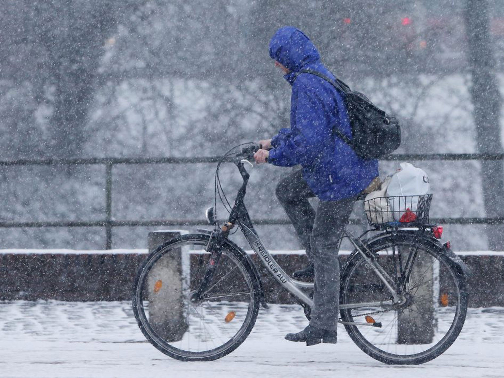
A band of snow is due to blanket much of Britain on this and cause widespread travel disruption, forecasters warned.
Up to 10cm was predicted to fall overnight and into the early hours of Monday morning, spreading southwards from Scotland.
The Met Office has issued a level-two weather warning which will remain in place until Tuesday, with ice, snow and bitter temperatures set to continue throughout the week.
Most areas will experience between two and five centimeters of snow on Sunday, with Yorkshire likely to see around 10cm settle on the ground.
But southern England and Wales could be spared the snow.
Despite this, the operator of Heathrow Airport, BAA, said it intended to cancel up to 250 flights today – one fifth of all planned flights – if the snow fell.
The move was critisised by Boris Johnson, the Mayor of London, who said it was “defeatist”. He added: “This shows time and again the difficulty at Heathrow.
“Every time there is a slight problem, Heathrow cannot cope.”
BAA said severe weather would “always reduce capacity” and cancelling flights in advance avoided disruption to passengers.
The operator has spent £32million on a “winter resilience” programme after a 2010 debacle that saw the airport closed for five days following a snow flurries.
Network Rail has warned that train services could face disruption tomorrow and Tuesday.
It planned to run trains throughout the night last night to stop tracks from freezing over and said it would treat electric rails with antifreeze.
Over the weekend the low was recorded at -7.5c in Aviemore in the Cairngorms. For much of Britain the mercury is predicted to dip into minus figures this week.
“This is the first sign of a cold snap,” said a Met Office spokesman. He added: “We are expecting it to last until at least the middle of the week.
“There will be a significant drop in temperatures for most areas across the UK which will mean a significant amount of snowfall.”
The AA said few drivers were prepared for conditions on the roads.
The RAC was expecting up to 56,000 breakdowns today and widespread disruption.
But the Highways Agency has said it was "well prepared" for winter conditions. "We have a fleet of 500 state-of-the-art winter vehicles on standby, supported by tried-and-tested winter resilience plans,” said a spokesman.
Local authorities have begun to prepare for likely school closures due to the snow.
Norfolk and Kent councils have offered parents an email or text warning service to tell them if schools will be closed this morning.
More snow is due to fall in eastern England and Scotland on Tuesday and Wednesday.
Join our commenting forum
Join thought-provoking conversations, follow other Independent readers and see their replies
Comments
Bookmark popover
Removed from bookmarks