Britain swelters into September – but downpours to come
Good news for those heading to Bestival – but they should make the most of it while they can
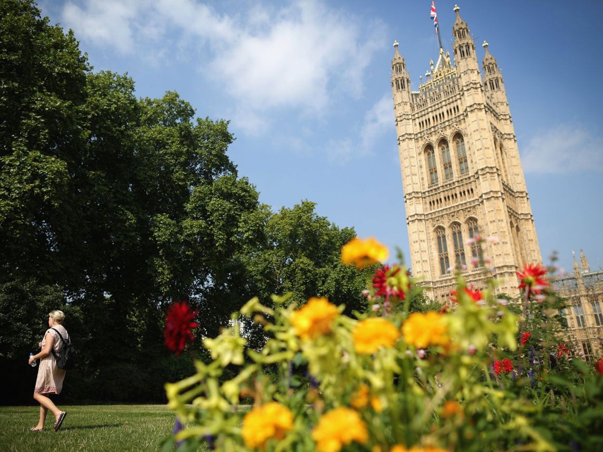
Many parts of England and Wales will again be greeted today by unexpectedly high temperatures and fine weather, but the summer’s swansong is forecast to end tomorrow in thunderstorms, torrential rain and a risk of flooding.
London is set to see the best of the sunshine, with the mercury predicted to hit a peak of 30C, but people in central, eastern and southern parts of England can also expect to feel the heat.
Other parts of England and Wales will see a perfectly pleasant 23C to 25C, and it will be cool and dry in Scotland and Northern Ireland.
It’s good news for anyone heading to the Isle of Wight for the start of the Bestival music festival – but they should make the most of it while they can.
From tomorrow what’s expected to be the last really good weather of the day will be over, with the warm spell giving way to a more turbulent and markedly wet period.
The Met Office has issued a yellow warning level for Friday and Saturday, asking people to be aware of the risks of heavy rain and potential flooding in Wales and the south-west, Midlands and north of England.
Nick Prebble, a forecaster for MeteoGroup, said: “It's going to be another hot day today, probably a touch hotter than yesterday.
”It will feel warm across England and Wales but getting cooler further north and particularly in Scotland and Northern Ireland.
“But the nice few days of sunshine will turn to rain tomorrow. There will be showers across the UK and the north will see heavy, persistent downpours with the potential of torrential rain and flooding.
”The unsettled weather and risk of showers will linger across the weekend.“
The end of the warm summer will be a disappointment for many, after what has been described as a “mini-heatwave” saw the hottest temperature recorded yesterday at 28.8C in St Helier, Jersey, with Heathrow in west London coming in at 28.5C.
The hottest day of the year so far was 1 August, when temperatures reached 33.7C (92.6F) at Heathrow Airport in west London, surpassing the previous seven-year high of 33.5C (92.3F) on 22 July.
Join our commenting forum
Join thought-provoking conversations, follow other Independent readers and see their replies
Comments
Bookmark popover
Removed from bookmarks