Driver killed after car was trapped in flood waters as Britain is battered by torrential rain and gale-force winds
Met Office predicting "more heavy rain and strong to gale force winds" in many parts of the UK overnight on Saturday into Sunday
Heavy rain and 70mph gales are forecast for much of Britain this weekend, after a week of downpours caused flashed floods and transport chaos.
There was some respite today as the weather remained dry across much of the UK, but forecasters warned that a new band of rain will soak the already-sodden soils of the Midlands, South West and Wales.
The floods claimed their first victim on Thursday night as an elderly man died after becoming trapped in his car.
His 4x4 vehicle became wedged under a bridge in Chew Stoke, Somerset, and was soon completely submerged. Despite a “gruelling” rescue effort, he was pronounced dead en route to hospital.
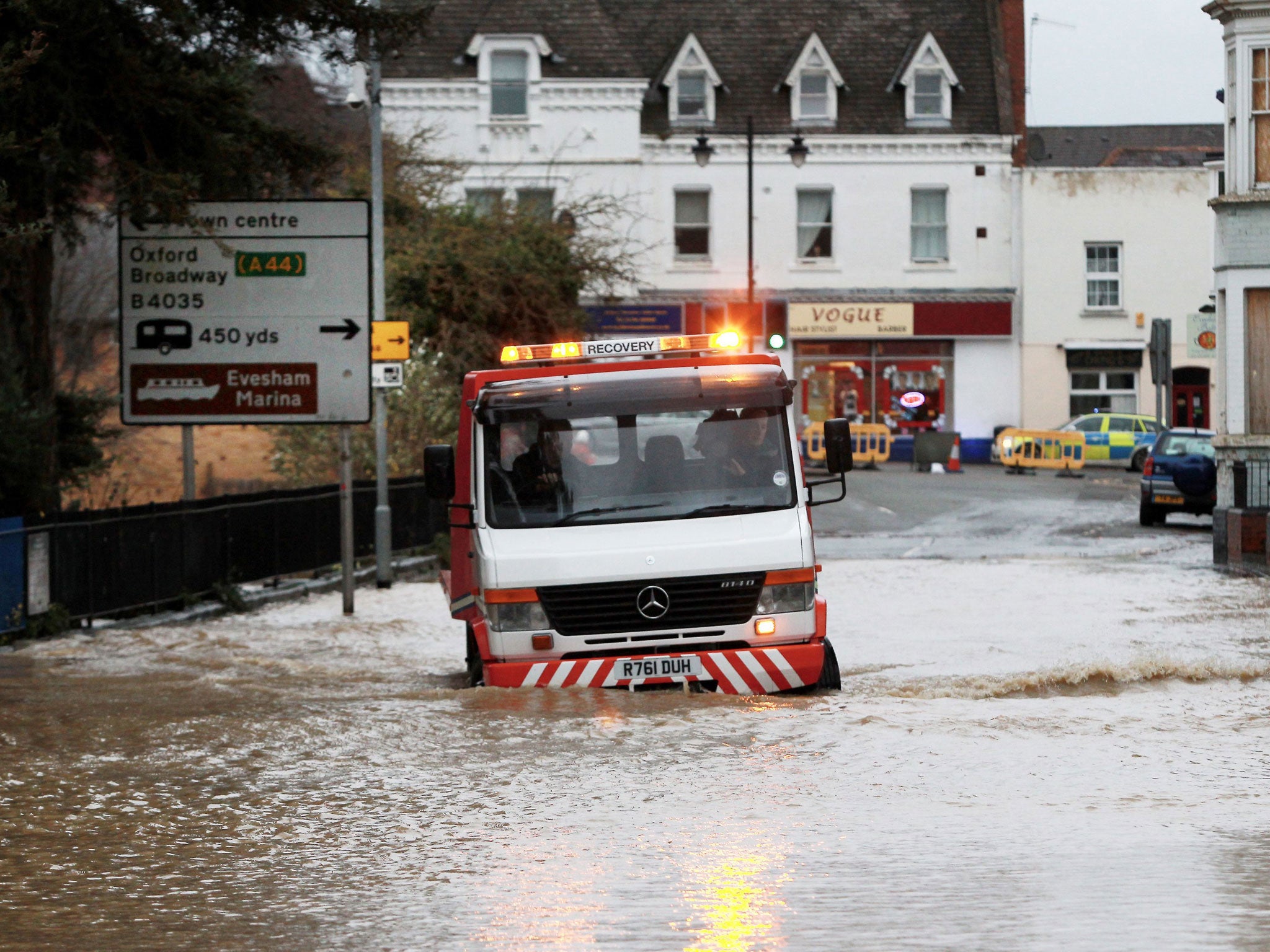
Last night the Environment Agency had 154 flood alerts in place in addition to 75 more serious flood warnings – the largest concentration of which centred on the South West of England. Some 300 properties have already flooded.
The worst-affected areas can expect a further 20-40mm of rain over Saturday and Sunday, according to the Met Office. Okehampton in Devon has already seen 92mm of rainfall in just three days, equivalent to the expected total for the whole of the month.
“The English average for November is 88mm, and since the rain has fallen on saturated ground there have inevitably been issues with flooding,” a spokesman said.
The MeteoGroup said: “Saturday it will get quite stormy overnight for all of the UK, with a particular risk of high winds in the southern half of the UK. There will be high rainfall totals and further flooding.”
Residents on the South Coast can expect winds of up to 70mph over the next two days, after 86mph gales were recorded at Capel Curig near Snowdonia in Wales earlier in the week.
More rain is forecast for Monday, accompanied by a sharp drop in temperatures as a more settled weather pattern comes into view.
Transport chaos continued today, with disrupted services on Virgin trains through Watford and the North West, and delayed and cancelled journeys to and from London Paddington. The AA said despite better weather on Friday, there had been no reduction in the number of flood-related call-outs.
Darron Burness, the AA’s head of special operations, said: “With more heavy rain forecast across the Midlands, Wales and the South West, road conditions in the affected areas are likely to only get worse as the ground is so saturated.”
Join our commenting forum
Join thought-provoking conversations, follow other Independent readers and see their replies
Comments
Bookmark popover
Removed from bookmarks