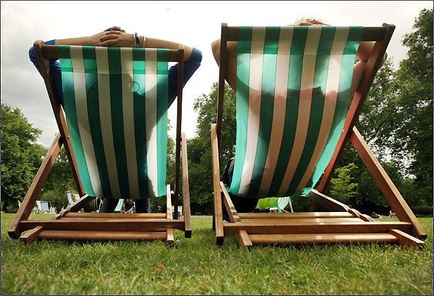
Farewell winter! 20C temperatures heading up from the south
Be patient though - they might not arrive until after the weekend

Wintry showers which today left snow in the north are the cold snap's last blast before Spring fully blooms next week, according to forecasters.
High ground in parts of the north of England and Scotland were today covered in snow as temperatures continued at an unseasonably low of between 4C (39.2F) and 7C (44.6F) throughout the day and into tomorrow.
But there is much better weather on the way for the whole country, with temperatures after Sunday expected to leap up to 20C (68F) in parts of England.
Billy Payne, a forecaster at Meteogroup, the weather division of the Press Association, said: "Cold easterly winds have continued to cause snow in the north of England and Scotland, with a quite brisk wind coming from Scandinavia still affecting large parts of the country.
"Tonight temperatures are likely to dip down below freezing across the same areas and even down as far as the Midlands, and tomorrow will be wintry again with accumulations of snow on the high ground.
"But we are seeing change on the way through tomorrow, with heavy rain pushing north and bringing temperatures up with milder air before things get warmer next week.
"By Sunday and into Monday temperatures should be driving towards 20C in the south east and East Anglia, and double digits in Scotland and the north of England."
The unseasonable weather has caused chaos for farmers, the transport network and homeowners throughout March and the Easter holiday.
Average temperatures between March 1 and 26 were just 2.5C (36.5F), three degrees below the long-term average, the Met Office said.
This would make it the coldest March since 1962 and also the fourth coldest in the UK since records began in 1910.
The coldest March in the UK was in 1962, at 1.9C (35.4F), followed by 1947, 2.2C (35.9F), 1937, 2.4C (36.3F), and 1916 and 1917, 2.5C (36.5F).
PA
Join our commenting forum
Join thought-provoking conversations, follow other Independent readers and see their replies
Comments
Bookmark popover
Removed from bookmarks