Amount of flood-prone land used for new houses in England doubles in a year, figures reveal
Exclusive: ‘There’s a strategy to build as many homes as possible, regardless of where they are and what type they are, in a rush to meet targets,’ says critic

The amount of land being used to build new homes in England’s most flood-prone areas has more than doubled in a year, figures reveal.
Countryside activists have said the increase signalled future flooding misery for homeowners and headaches for insurance companies.
And they blamed successive governments for forcing councils to accept development without flood risk surveys and without obligatory water-management measures.
More than 580 hectares of land in the national flood zone three category, an area assessed as being most likely to experience flooding, had new homes built on it in 2017-18 – up from 285 hectares the year before.
The 582 hectares was 11 per cent of all the land given over to development, whereas the highest-risk flood areas accounted for 5 per cent of total space built on the year before, according to the Ministry of Housing, Communities and Local Government figures which The Independent has seen.
Nearly 100 flood warnings were issued across England and towns and villages across the south were deluged three days before Christmas when rivers burst their banks.
Last month, thousands of homes in Yorkshire and the midlands were flooded and one woman killed when torrential rain repeatedly battered the regions.
More frequent flooding in recent years resulting from the climate crisis has cost homeowners, insurers and businesses millions of pounds and pushed up the cost of insurance policies.
But over the past five years, a trend has emerged for ever more land in the highest-risk flood plains to have homes built on them.
In 2013-14, 182 flood-prone hectares were developed; the following year, 195 hectares were built on. In 2015-16, the number jumped to 321, then dropped slightly in 2016-17 to 285 before rising to 582 a year later.
Earlier this year researchers found Britain would experience some of the worst flooding in Europe. The study, in the journal Nature, said land that is already saturated from rain cannot absorb even more water.
Tom Fyans, deputy chief executive of the Campaign to Protect Rural England, predicted “a state of prolonged anxiety every winter” for house buyers in those areas, blaming a lack of good planning, exaggerated by funding cuts for councils.
“There’s a strategy to build as many homes as possible, regardless of where they are and what type they are, in a rush to meet targets,” he told The Independent.
Building without flood risk assessments, combined with an absence of drainage and other action to soak up water, intensified the danger, he said.
“How many local authorities did risk assessments for flood impacts before these developments? I’d imagine not many because cuts to local authority budgets have hit planning departments badly – we’ve seen 50 per cent cuts across the country so they can’t always provide the right advice, especially when developers are so well resourced and trying to get as many planning permissions as possible.
“We’re reaping what we sow.”
Environmental risk assessments should be made compulsory in law and part of planning decisions, Mr Fyans said.
“There will be challenges for insurance and the long-term sustainability of people’s purchases. When they buy they should be asking whether a flood risk assessment was done on the land.”
But building on flood plains does not have to be avoided, he said. “You can still build there if you know what type of design you need.”
Compulsory measures should include good drainage systems, preserving meadows, green roofs, water management that slows water flows, tree planting and landscaping, he said.
“Developers often cut the commitments that they make to get planning permission, and they’re the first things to go. Flooding is becoming more likely as a result of planning decisions.”
Most planning is “not fit for purpose or the climate emergency”, he said.
“On every train journey out of London I see flooded farmland and fields. Farmland becoming unusable and housing in the wrong place – it’s a potent cocktail of bad decision-making.”
And he condemned the rule that forces councils to hand over swathes of land for housing because otherwise decisions are taken out of their hands and it’s “open season” on land.
“The quest to meet housing targets, which is centrally driven, means councils are over a barrel. They’re having to approve planning decisions they may be against just to keep control. They’re damned if they do and damned if they don’t.”
In West Sussex, a series of schemes for thousands of new homes are planned on land that locals say is far too low and boggy to be safe, including a new town called Mayfield where two branches of the river Adur meet near Wineham. Some of the homes would be built at Sayers Common, which locals say has a history of flooding and related sewage issues, with one householder suffering toilet flush coming up into the kitchen sink.
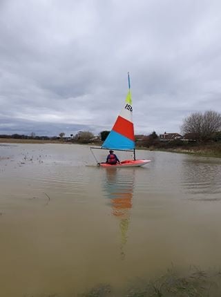
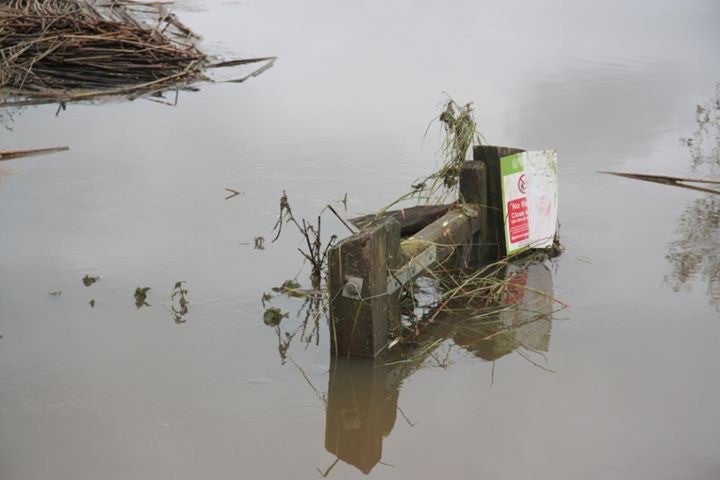
Drone footage taken in the area shows swathes of land under water.
Near Pagham, developers want to build more than 3,600 homes on six sites that are flood-prone, including a housing estate on the feeding grounds of Brent geese – on what residents say is “prime agricultural land”.
At least 600 houses are planned on land near Lancing that is in the Environment Agency’s highest-flood risk category, zone three.
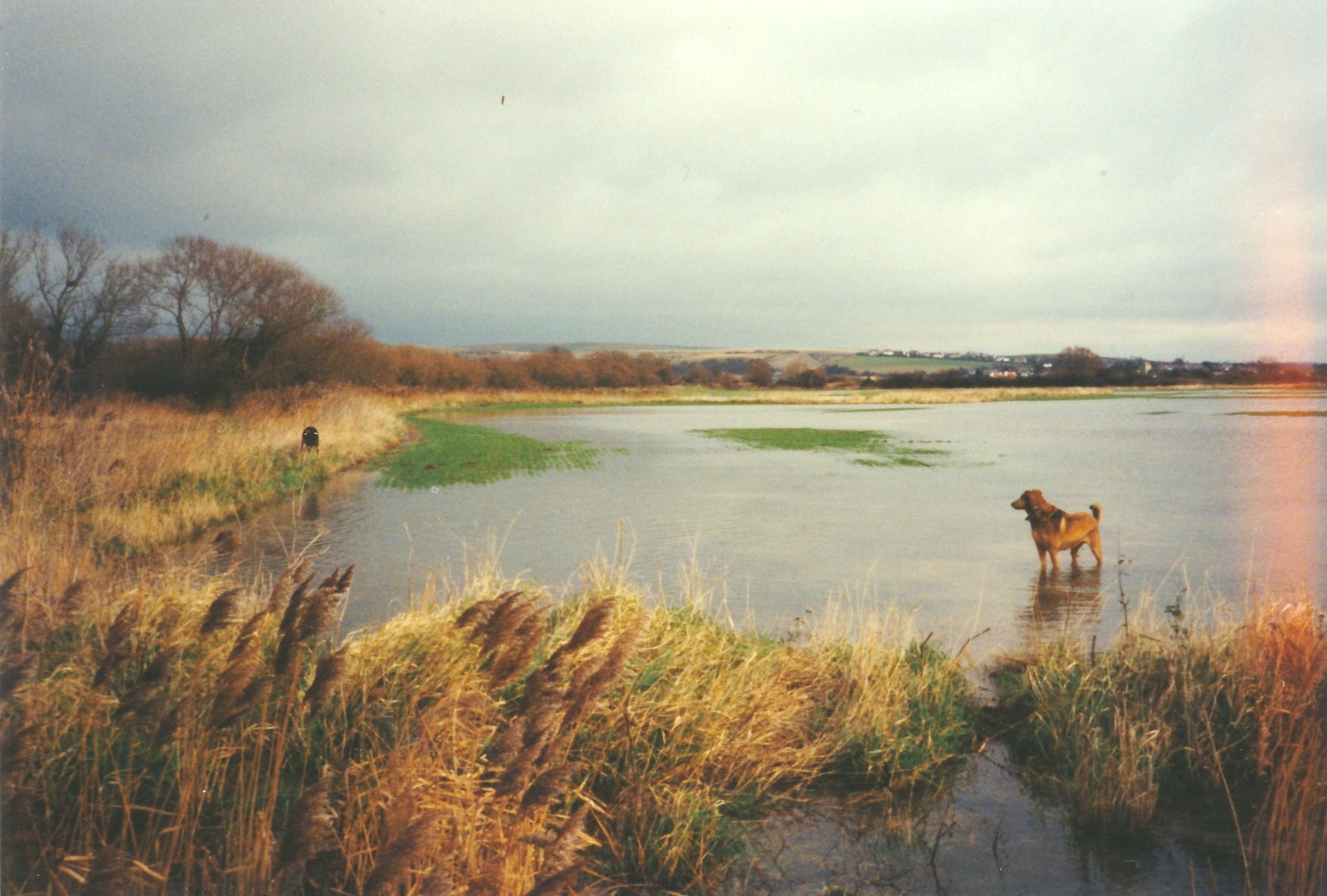
Posting photos of flooded fields, the Campaign to Protect Rural England (CPRE) Sussex, which is supporting residents battling the plans, said: “Surely, only a fool would concrete over nature’s tried and tested solution to flooding.
“Nearly all of these photos shows locations earmarked by developers. What they fail to understand is that the Sussex Weald is in fact one giant flood plain.”
Andrew Griffith, MP for Arundel and the South Downs, said he had written to housing secretary Robert Jenrick to stress the importance of taking potential flood risk into account before new housing developments go up.
A Greenpeace investigation last month found that 10,000 more homes are in the pipeline for areas most at risk of flooding.
However, earlier this month Boris Johnson threw housebuilding plans into confusion by suddenly calling for an end to construction on flood plains.
The Environment Agency has said that more than 5 million people in England are at risk from flooding and coastal erosion.
A spokesperson for the Ministry of Housing, Communities and Local Government said: “Local authorities have a responsibility to assess the number of homes their communities need, and our planning policy is clear that housing should be located in the areas at least risk of flooding.
“Where development in a high-risk area is absolutely necessary, sufficient measures should be taken to make sure homes are safe, resilient and protected from flooding.”
Although land-use tables show the proportion of land changing to residential use in flood zone three rose, residential address change tables from Ordnance Survey data show the proportion of new residential addresses created in flood zone three fell from 11 per cent in 2016-17 to 9 per cent in 2017-18, the department said.
Join our commenting forum
Join thought-provoking conversations, follow other Independent readers and see their replies
Comments
Bookmark popover
Removed from bookmarks