Met Office issues yellow weather warning as snow and rain to hit UK
The Environment Agency urged the public to remain vigilant amid the ongoing flood risk
A weather warning for ice have been issued across parts of the UK with experts warning residents to be braced for disruption.
The Met Office said that ice could develop across parts of Scotland and north-east England following a spell of rain and some hill snow during Sunday afternoon.
Temperatures are expected to fall below freezing as skies clear from the west through the evening and overnight, leading to ice forming on untreated surfaces.
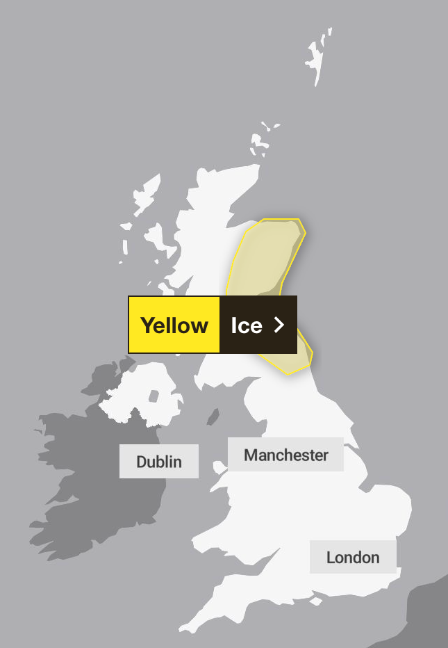
The weather warning is in place from 8pm til 10am on Monday morning after a series of warnings have expired throughout the weekend. A yellow alert over snow covered parts of eastern England until 4 pm on Sunday.
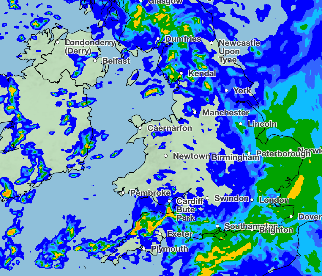
The Met Office said that rain which pummelled the UK on Sunday morning would likely to turn to sleet and snow, with up to 4cm of snow expected in some areas of the Lincolnshire Wolds and parts of Norfolk and Suffolk. However, the snow was expected to turn back to rain later on in the day.
Meanwhile, the Environment Agency has urged the public to remain vigilant amid the ongoing flood risk.
There were 74 flood warnings and 162 flood alerts in place across England on Sunday morning.
In an update on Sunday afternoon, the Environment Agency said: “Ongoing impacts from groundwater are probable for parts of the south of England through the next five days.”
It added that ongoing flooding impacts are also likely from rivers across Somerset and Wiltshire, while river flooding is possible for parts of the Midlands from Sunday until Tuesday.
It warned that properties could flood and there could be travel disruption.
Rain is expected to clear in some eastern areas in the evening but heavy showers will continue through much of the night, according to the Met Office.
The snow warning for eastern England says “a spell of snow may lead to some disruption to travel”.
Met Office meteorologist Liam Eslick said temperatures during on Sunday evening shouldn’t dip below freezing overnight, meaning there isn’t expected to be too much frost in England.
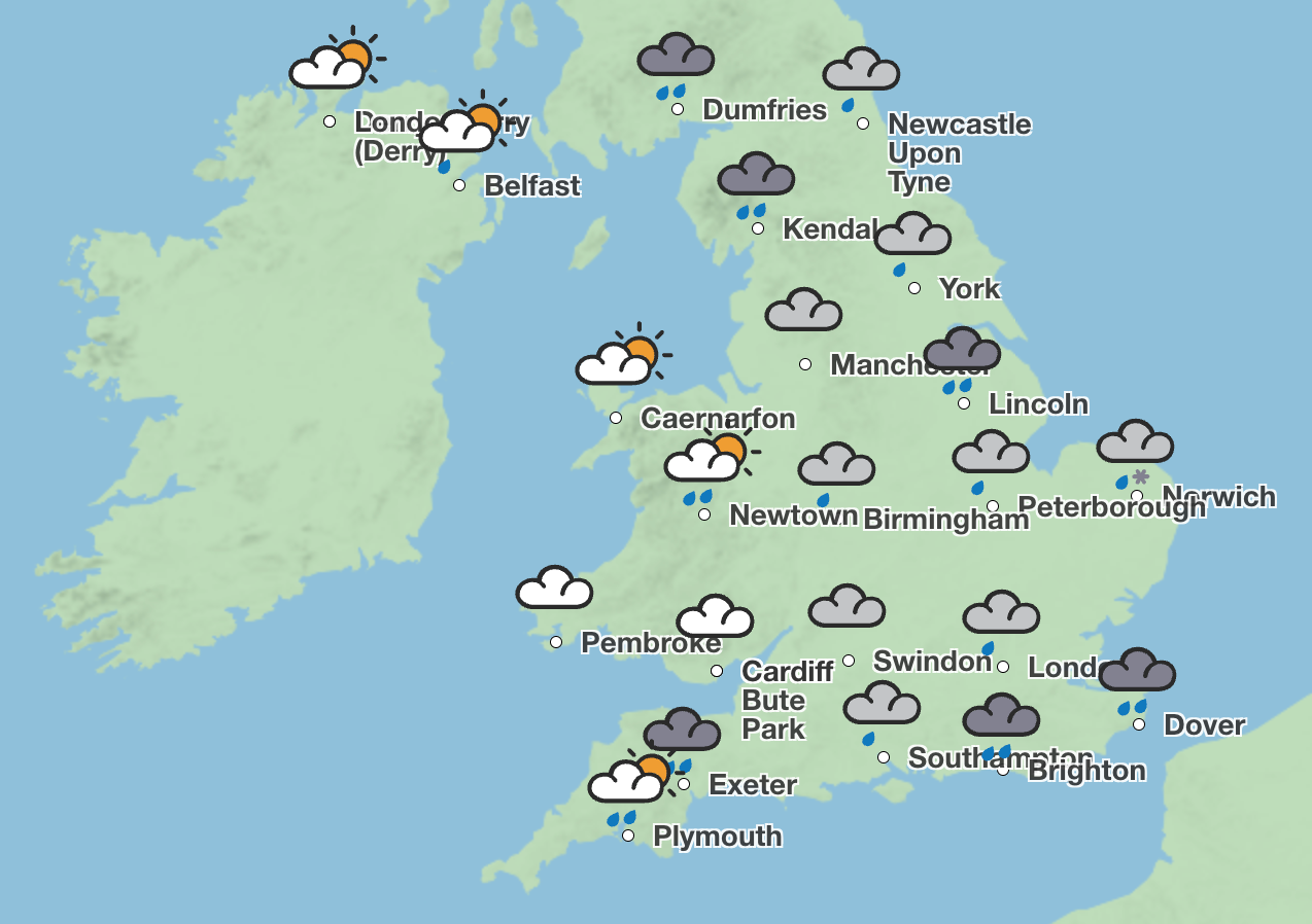
Monday will see sunny spells and showers, with the risk of some hail and thunder in some areas. However, Tuesday is expected to be drier with sunny spells.
Meanwhile, on Wednesday, there will be an increased risk of rain and some “perhaps some snow in the South.
Sunday evening
Rain clearing eastern areas through the evening, but for many heavy showers will continue through much of the night. Some snow possible over the highest hills in the north.
Monday
A day of sunny spells and showers. Some of the showers will be heavy at times, with the risk of some hail and thunder. Snow showers in the far north.
Tuesday to Thursday
Drier on Tuesday, with sunny spells. An increasing risk of rain and perhaps some hill snow on Wednesday and into Thursday in the south. Mostly dry elsewhere. Frosty nights.
Bookmark popover
Removed from bookmarks