New Thames Water map reveals where raw sewage is being discharged
Sewage has been flowing continuously for more than a month in multiple locations

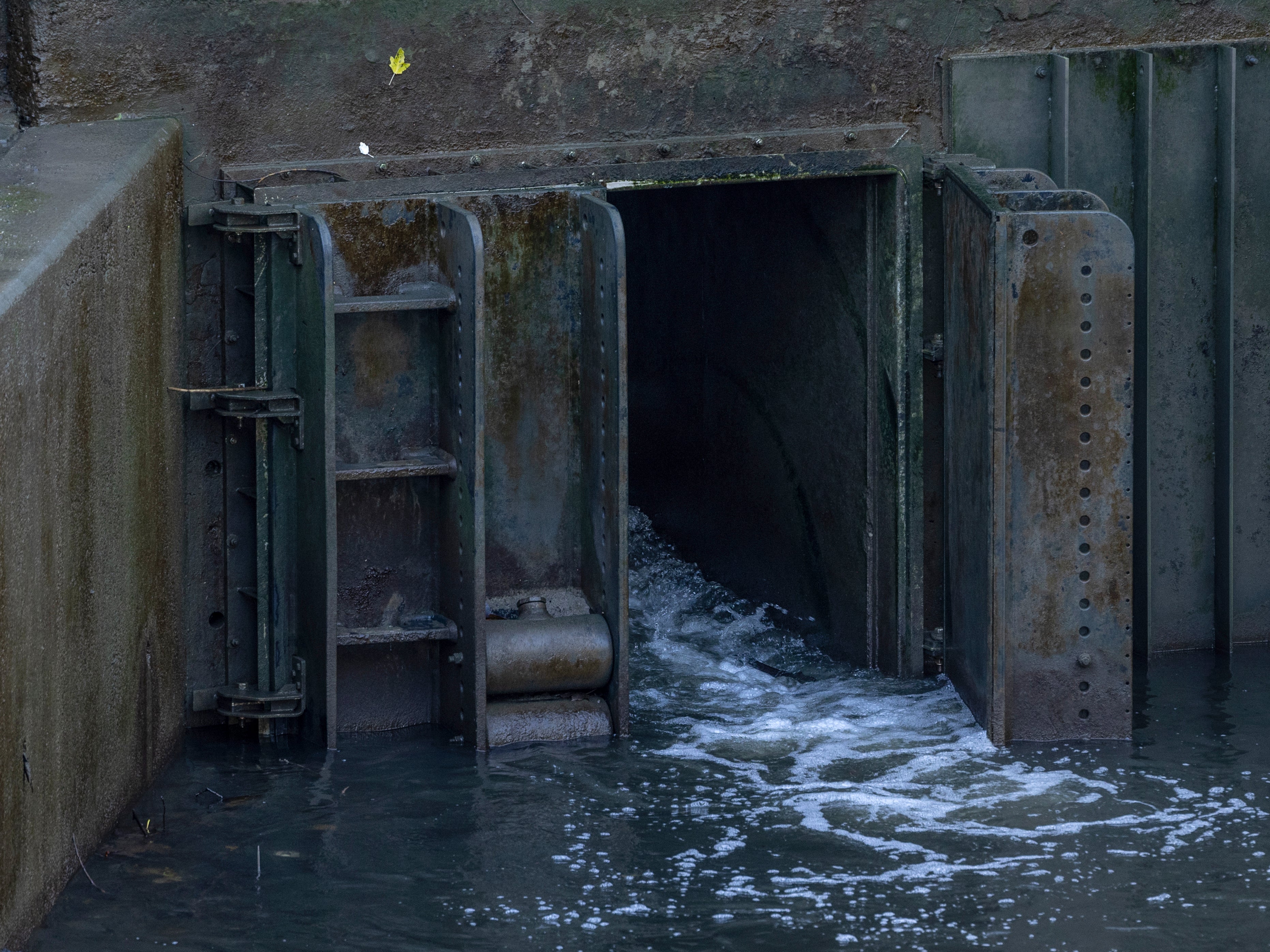
A new map showing where raw sewage is being discharged via storm overflows has highlighted various locations where effluent has been pumped into English waterways for hundreds of hours without pause.
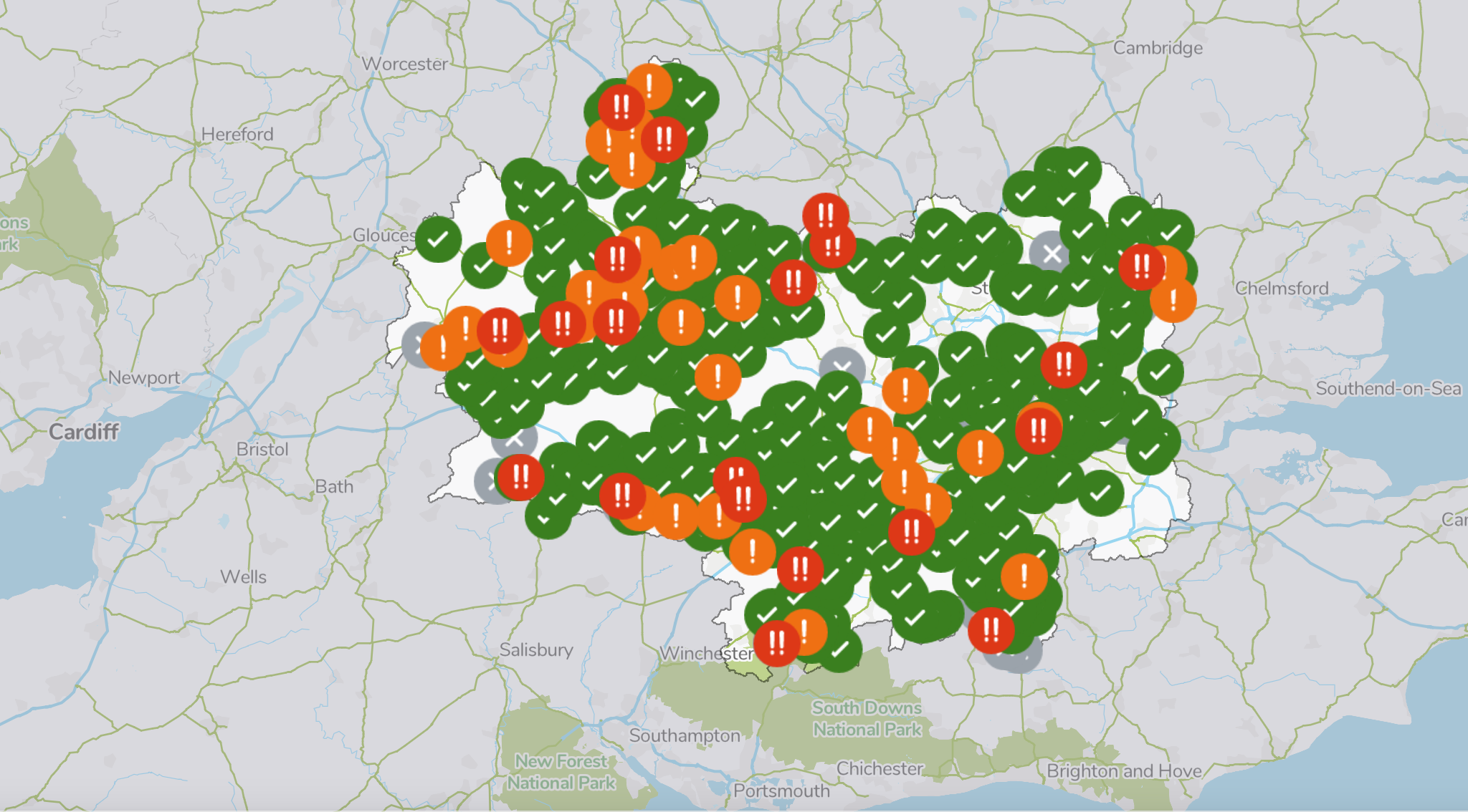
Thames Water launched its digital map earlier this month, providing real-time data on its discharges across the South East, amid growing public anger about the state of the country’s rivers.
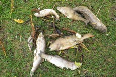
There has been a 29-fold increase in untreated sewage discharges into rivers and seas over a period of five years, Environment Agency figures obtained via freedom of information requests revealed last August.
Further analysis of the agency’s data – which showed raw sewage had been pumped into British waterways for a total of 9,427,355 hours since 2016 – showed that nearly one in four discharges went unmonitored the previous year.
Following sustained pressure from campaigners and growing public anger, the government and regulator Ofwat have sought to crack down on water companies’ ability to pollute rivers and seas.

Under the government’s Environment Act, water companies have been told to make near real-time data about the frequency and duration of all storm overflow discharges available to the public no later than 2025 – and ministers have said that all overflows will have monitors fitted by the year’s end.
Thames Water, England’s largest private water firm, became the first company to launch an interactive map providing real-time information on raw sewage discharges into inland waterways.
The map shows continuous flows of effluent lasting for hundreds of hours in some locations.
As of Monday at 9pm, sewage had been flowing for 554 hours at Clanfield and 564 hours at Standlake, both in Oxfordshire, for 839 hours in Burghfield and 841 in Stratfield Mortimer, both in West Berkshire, and for 758 hours in Fairford, Gloucestershire, among other locations.
Public consciousness about the scale of Thames Water’s raw sewage discharges via storm overflows has risen sharply since the company this month launched its digital map identifying discharges as they take place.
Ash Smith, a retired police detective and water activist from the Oxfordshire group Windrush Against Sewage Pollution, said that although the interest generated by the new map has been “remarkable”, ultimately “nothing has changed”.
“It has created a lot of interest in what is happening, it’s been remarkable,” Mr Smith told The Guardian. It should put pressure on the more opaque water companies to do the same. But nothing has changed, the rivers are still being used as a toilet.”
Thames Water told the paper: “Our current investment programme, which is fully funded, will deliver major increases in treatment capacity at many of our sites.”


It added: “We are absolutely committed to protecting and enhancing our rivers and the communities who love them, and we want to make these discharges of diluted sewage unnecessary as quickly as possible.
“We are the first company to provide these alerts for inland waters … We want to lead the way with this transparent approach to data, and the alerts will be available through an open data platform for third parties, such as swimming and environmental groups, to use.”
Join our commenting forum
Join thought-provoking conversations, follow other Independent readers and see their replies
Comments
Bookmark popover
Removed from bookmarks