The map that shows Britain's 'dirtiest' areas
The map allows people to search for their postcode to see how their neighbourhood compares to the rest of the country
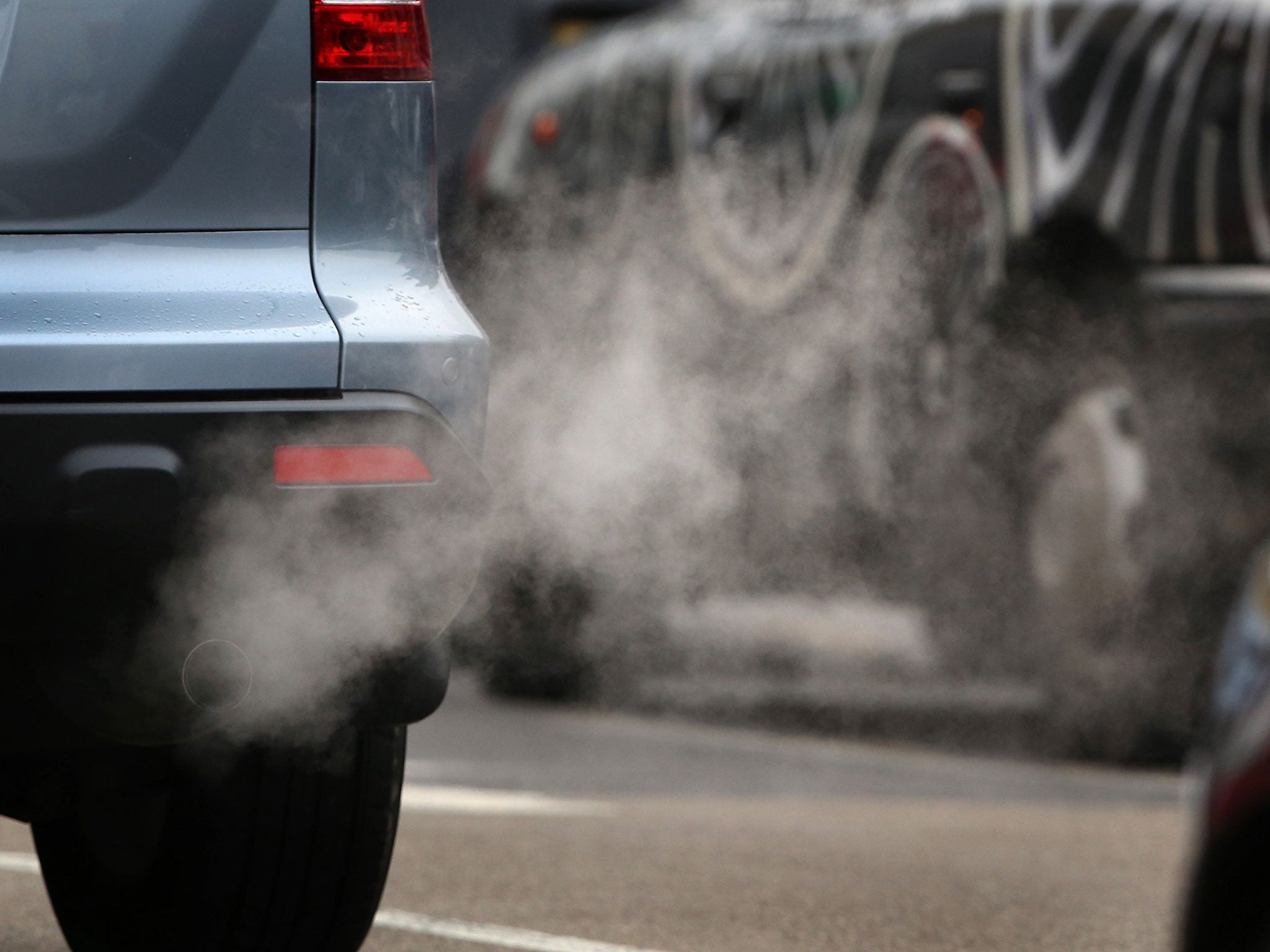
The City of London is the "dirtiest" county in Great Britain, a map showing Britain's average emissions has revealed.
Analysis by mapping company Esri UK of DVLA data from nearly 30 million cars found the City of London, Greater London and Surrey have the highest average emissions of carbon dioxide per kilometre.
The map allows people to search for their postal district to see how their neighbourhood compares to the rest of the country.
The City of London had an average emission of 168.4 grams of CO2 per kilometer, with 23.1 per cent of cars emitting over 200 grams.
However, the City of Glasgow was the UK's cleanest county, with average emissions of 138.8 grams and just 4.7 per cent of cars emitting over 200 grams.
Top 10 counties for highest average emissions
1. City of London
2. Greater London
3. Surrey
4. West Sussex
5. Essex
6. East Sussex
7. Dorset
8. Hertfordshire
9. Herefordshire
=9. Isle of Wight
After the City of Glasgow, Lanarkshire and Merseyside had the lowest average emissions, followed by Tyne & Wear, Mid Glamorgan, West Midlands, West Glamorgan, Renfrewshire, Durham and the City of Dundee.
Last year, it was claimed David Cameron buckled to pressure from German Chancellor Angela Merkel to delay new emission limits for UK cars.
Former Liberal Democrat transport minister Norman Baker said Ms Merkel had personally called the Prime Minister to ask for the favour to protect her country's car industry.
Join our commenting forum
Join thought-provoking conversations, follow other Independent readers and see their replies
Comments
Bookmark popover
Removed from bookmarks