UK weather: ‘Danger to life’ thunderstorm warning issued by Met Office ahead of torrential downpours
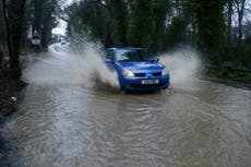
Cities and rural areas could be hit with flash flooding as parched earth struggles to soak up water
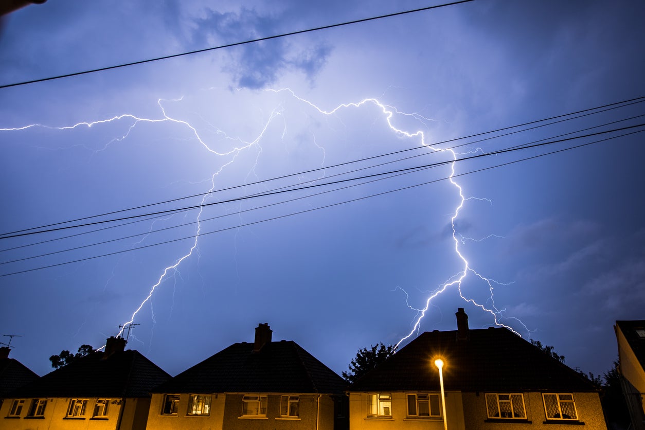
The Met Office has issued a "danger to life" thunderstorm warning as torrential downpours are expected to lash much the UK.
Heavy rain and thunderstorms could cause flooding in both cities and rural areas, but that is not enough end the drought declared on Friday, experts have warned.
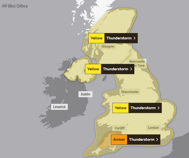
The Met Office initially issued a thunderstorm warning for most of the UK on Monday and Tuesday as conditions could cause flash flooding, transport disruption and power cuts.
The weather warning will stay in place for southern England on Wednesday, where communities could be cut off by flooded roads, and the chance of fast-flowing or deep flood water could cause danger to life.
On Monday afternoon this was upgraded to a more serious amber warning for a swathe of the southwest, covering Cornwall, Devon and Somerset.


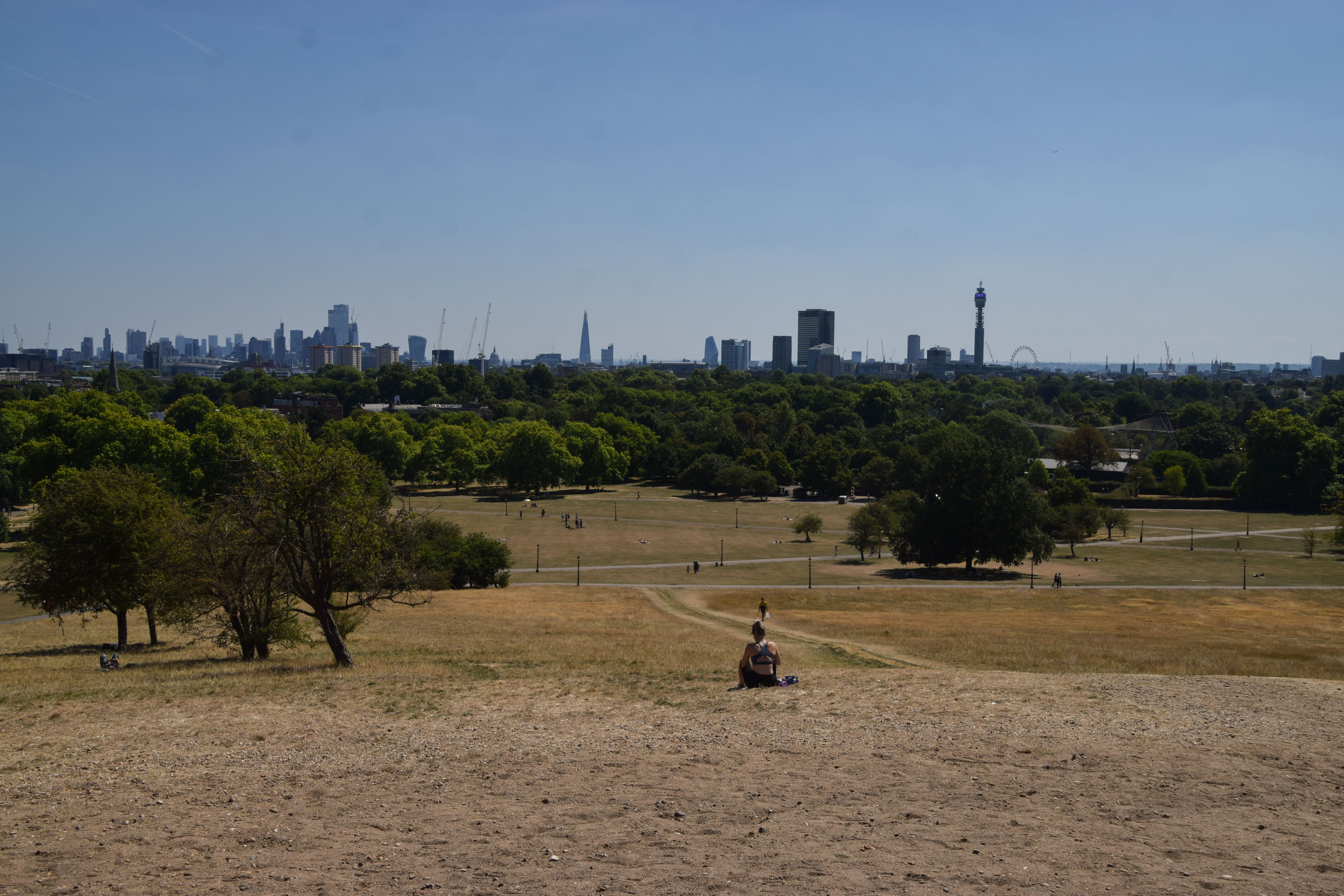
It comes after weeks of little rain and warm conditions have caused droughts across parts of the UK, leaving land parched.
An official drought was declared in eight areas of England on Friday by the National Drought Group, including Devon and Cornwall, Kent and south London, East Anglia and the East Midlands.
South West Water, Welsh Water, Southern Water and South East Water have already imposed hosepipe restrictions while Yorkshire Water's ban will start on August 26 and Thames Water said it is planning one in the coming weeks.
Inverness in Scotland was hit by heavy rain on Sunday, with footage and photos shared online showing water leaking through the ceiling of a Vue cinema and flooding a Tesco store.
Met Office spokesman Stephen Dixon said that thunderstorms and heavy rain will likely hit more localised areas in Scotland, as well as areas of the southwest and east of England, with the potential of up to 50mm of rainfall within three hours in some places.
But he added: "That being said, it is quite hard to pinpoint exactly where these thunderstorms will crop up.
"Some areas will miss the showers completely but where they do come down, there could be some impacts like surface water flooding, with the rain obviously hitting dry land, travel disruption and power cuts affecting homes and businesses."
Professor Hannah Cloke, an expert in hydrology at the University of Reading, said: "The ground is really dry and when it is so dry it acts a little bit like concrete and that water can't get in so it drains straight off.
"There is the damage to homes and businesses these floods can cause, and inconvenience with transport disruptions, but if it is very heavy in one place it can also be very dangerous."
On how it could affect cities like London, she said: "If you get a heavy rain in a city, the drainage system can cope up to a point, but if there is really heavy rain it can overwhelm the system - the rain cannot run away quick enough.
"Water tends to find the lowest pathway - that is why it is so dangerous for cities with these surface area floods.
"That is why it is of concern to the Tube and underground car parks and things like that."
Join our commenting forum
Join thought-provoking conversations, follow other Independent readers and see their replies
Comments
Bookmark popover
Removed from bookmarks